Hanover in Plymouth County, Massachusetts — The American Northeast (New England)
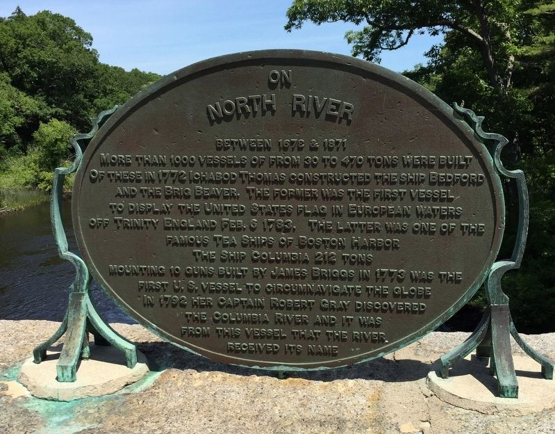
On North River
Between 1678 & 1871 more than 1000 vessels of from 30 to 470 tons were built Of these in 1772 Ichabod Thomas constructed the ship Bedford and the brig Beaver. The former was the first vessel to display the United States flag in European waters off Trinity England Feb. 6 1783. The latter was one of the famous tea ships of Boston Harbor
The ship Columbia 212 tons mounting 10 guns built by James Briggs in 1773 was the first U. S. vessel to circumnavigate the globe In 1792 her captain Robert Gray discovered the Columbia River and it was from this vessel that the river received its name
Topics. This historical marker is listed in these topic lists: Colonial Era • Waterways & Vessels.
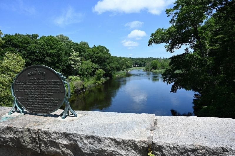
Location. 42° 6.511′ N, 70° 48.407′ W. Marker is in Hanover, Massachusetts, in Plymouth County. Marker is on Washington Street north of Shipyard Lane, on the right when traveling north. Located on the bridge over the North River which runs between North Pembroke and Hanover. Touch for map. Marker is in this post office area: Hanover MA 02339, United States of America. Touch for directions.
Other nearby markers. At least 8 other markers are within 6 miles of this marker, measured as the crow flies. North River Bridge (a few steps from this marker); The Ox Knoweth His Owner (approx. 2˝ miles away); Nathan Cushing (approx. 3.7 miles away); The “Columbia” (approx. 3.7 miles away); Ford Mill (approx. 4.6 miles away); Old Marshfield Training Field (approx. 5.1 miles away); Daniel Webster Tablet (approx. 5.1 miles away); The Old Oaken Bucket (approx. 5˝ miles away).
Also see . . . Columbia Rediviva (Wikipedia). (Submitted on June 24, 2021, by Roger W. Sinnott of Chelmsford, Massachusetts.)
Credits. This page was last revised on June 29, 2021. It was originally submitted on June 24, 2021, by Roger W. Sinnott of Chelmsford, Massachusetts. This page has been viewed 148 times since then and 17 times this year. Photos: 1, 2. submitted on June 24, 2021, by Roger W. Sinnott of Chelmsford, Massachusetts. • Michael Herrick was the editor who published this page.

