Bandera in Bandera County, Texas — The American South (West South Central)
Bandera, Texas USA
Cowboy Capital of the World
Photographed by James Hulse, June 19, 2021
1. Bandera, Texas USA Marker
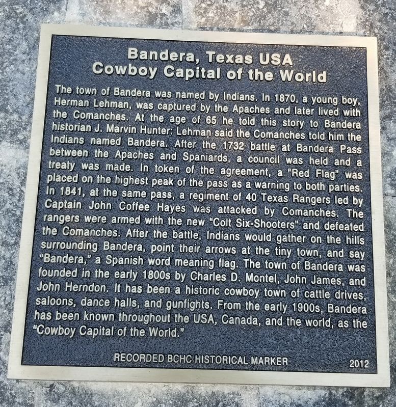
The town of Bandera was named by Indians. In 1870, a young boy, Herman Lehman, was captured by the Apaches and later lived with the Comanches. At the age of 65 he told this story to Bandera historian J. Marvin Hunter: Lehman said the Comanches told him the Indians named Bandera. After the 1732 battle at Bandera Pass between the Apaches and Spaniards, a council was held and a treaty was made. In token of the agreement, a "Red Flag" was placed on the highest peak of the pass as a warning to both parties. In 1841, at the same pass, a regiment of 40 Texas Rangers led by Captain John Coffee Hayes was attacked by Comanches. The rangers were armed with the new "Colt Six-Shooters" and defeated the Comanches. After the battle, Indians would gather on the hills surrounding Bandera, point their arrows at the tiny town, and say "Bandera," a Spanish word meaning flag. The town of Bandera was founded in the early 1800s by Charles D. Montel, John James, and John Herndon. It has been a historic cowboy town of cattle drives, saloons, dance halls, and gunfights. From the early 1900s, Bandera has been known throughout the USA, Canada, and
this page online
Erected 2012 by Bandera County Historical Commission.
Topics. This historical marker is listed in these topic lists: Indigenous Peoples and Communities • Settlements & Settlers • Wars, US Indian. A significant historical year for this entry is 1870.
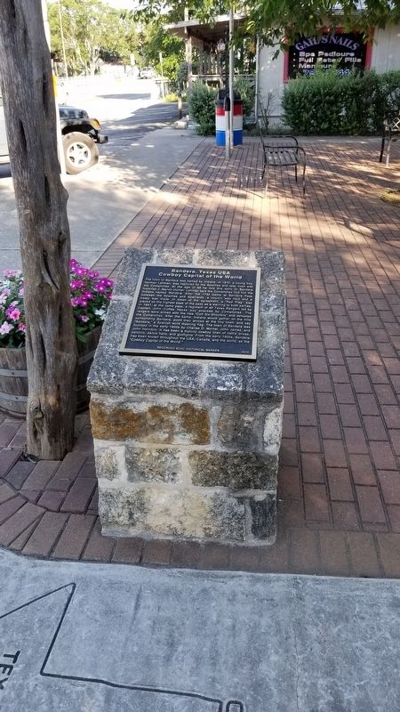
Location. 29° 43.539′ N, 99° 4.347′ W. Marker is in Bandera, Texas, in Bandera County. It is at the intersection of Main Street (State Highway 16) and Hackberry Street, on the left when traveling north on Main Street. The marker is located in the Western Trail Heritage Park. Touch for map. Marker is at or near this postal address: 413 Main St, Bandera TX 78003, United States of America. Touch for directions.

Regionally, this marker is in the Hill Country and in the San Antonio Metropolitan Area. Globally, it is in North America, a Gulf of Mexico state, the Western Hemisphere, the Western World, and the Anglosphere. Historically, it finds itself in what was once New Spain, the Republic of Texas, and one of the Confederate States of America.
Other nearby markers. At least 8 other markers are within walking distance
Photographed by James Hulse, June 19, 2021
2. Bandera, Texas USA Marker
Also see . . . Bandera, TX.
The presence of the United States Cavalry at Camp Verde after 1856 encouraged increased activity and settlement. Bandera served the needs of the military and of settlers who took up small holdings in the area. After the Civil War the town boomed as a staging area for cattle drives up the Western Trail. Farm boys became cowboys. Ranchers built holding pens and signed on as trail bosses. Storekeepers contracted as outfitters. Cotton was a commercial crop during this period. An ornate courthouse begun in 1890 announced prosperity from the town square. For local stockraisers, sheep and goats proved more profitable on the shallow limestone soil than cattle, but not until 1920 did the Bandera County Ranchers and Farmers Association organize cooperative storage and marketing of wool and mohair. Source: The Handbook of Texas(Submitted on June 26, 2021, by James Hulse of Medina, Texas.)
Photographed by James Hulse, June 19, 2021
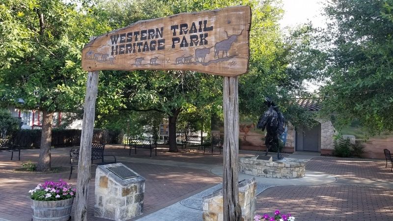
3. The Bandera, Texas USA Marker is the marker on the left of the two markers
Photographed by James Hulse, June 19, 2021
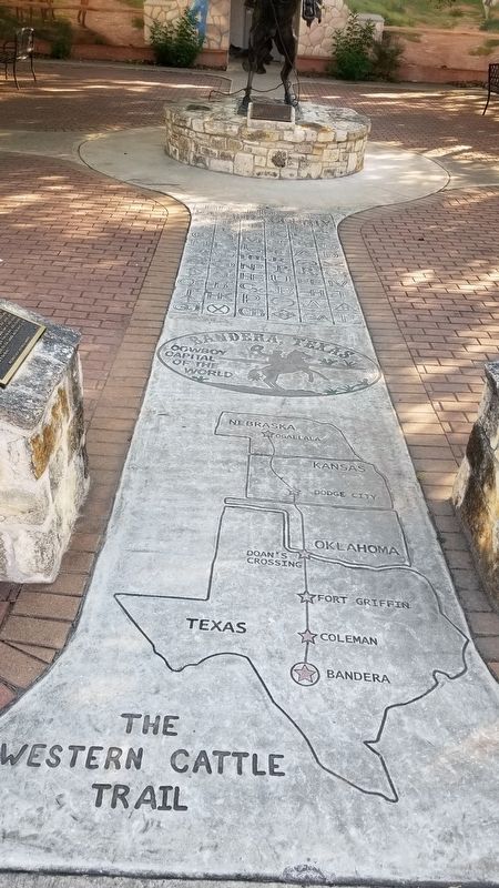
4. Artwork for Bandera, Texas and Great Western Trail
Credits. This page was last revised on June 26, 2021. It was originally submitted on June 26, 2021, by James Hulse of Medina, Texas. This page has been viewed 974 times since then and 75 times this year. Photos: 1, 2, 3, 4. submitted on June 26, 2021, by James Hulse of Medina, Texas.
