Cumberland in Allegany County, Maryland — The American Northeast (Mid-Atlantic)
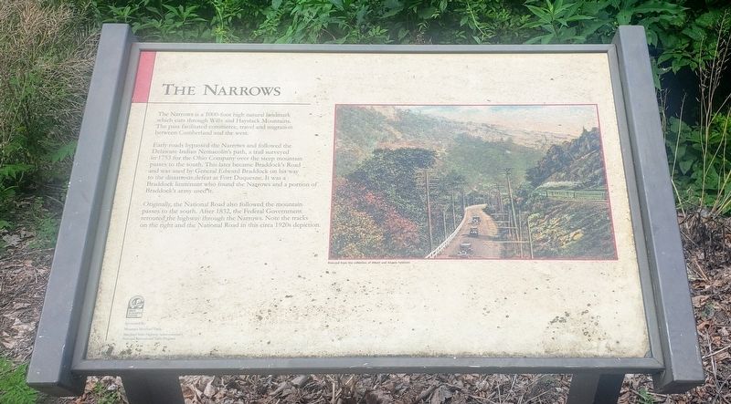
The Narrows
Early roads bypassed the Narrows and followed the Delaware Indian Nemacolin's path, a trail surveyed in 1753 for the Ohio Company over the steep mountain passes to the south. This later became Braddock's Road and was used by General Edward Braddock on his way to the disastrous defeat at Fort Duquesne. It was a Braddock lieutenant who found the Narrows and a portion of Braddock's army used it.
Originally, the National Road also followed the mountain passes to the south. After 1832, the Federal Government rerouted the highway through the Narrows. Note the tracks on the right and the National Road in this circa 1920s depiction.
(Photo Caption):
Postcard from the collection of Albert and Angela Feldstein
Erected by Mountain Maryland Trails and Maryland State Highway Administration's National Recreational Trails Program.
Topics. This historical marker is listed in these topic lists: Colonial Era • Roads & Vehicles. A significant historical year for this entry is 1753.
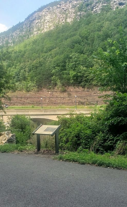
Location. 39° 39.715′ N, 78° 46.849′ W. Marker is in Cumberland, Maryland , in Allegany County. Marker can be reached from National Highway (Alternate U.S. 40), on the left when traveling north. Marker is located on the Great Allegheny Passage Trail. Touch for map. Marker is at or near this postal address: 10300 National Highway, Cumberland MD 21502, United States of America. Touch for directions.
Other nearby markers. At least 8 other markers are within walking distance of this marker. Site of Bridge 1834 (about 300 feet away, measured in a direct line); “The Narrows” (about 400 feet away); a different marker also named The Narrows (about 400 feet away); To The Unknown Confederate Dead (approx. 0.6 miles away); Civil War Soldiers Monument (approx. 0.6 miles away); 617 Washington Street (approx. 0.7 miles away); 632 Washington Street (approx. 0.7 miles away); 615 Washington Street (approx. 0.7 miles away). Touch for a list and map of all markers in Cumberland.
Credits. This page was last revised on June 28, 2021. It was originally submitted on June 26, 2021, by Bradley Owen of Morgantown, West Virginia. This page has been viewed 177 times since then and 26 times this year. Photos: 1, 2. submitted on June 26, 2021, by Bradley Owen of Morgantown, West Virginia. • Bill Pfingsten was the editor who published this page.

