
Near Henrico in Henrico County, Virginia — The American South (Mid-Atlantic)
Curles Neck and Bremo
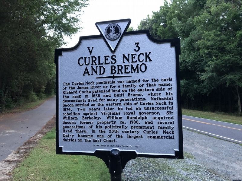
Erected 2016 by Department of Historic Resources. (Marker Number V-3.)
Topics and series. This historical marker is listed in these topic lists: Agriculture • Colonial Era • Industry & Commerce • Settlements & Settlers. In addition, it is included in the Virginia Department of Historic Resources (DHR) series list. A significant historical year for this entry is 1636.
Location. 37° 24.442′ N, 77° 16.638′ W. Marker is near Henrico, Virginia, in Henrico County. It is on New
this page online

Regionally, this marker is in Virginia’s Piedmont, in Central Virginia, and in the Richmond Metropolitan Area. It is also in the American South, specifically in the Upper South, and on the Eastern Seaboard. Globally, it is in the North Atlantic Region, North America, the Western Hemisphere, the Western World, and the Anglosphere. Historically, it finds itself in what was once the territory of the Mississippian Culture, one of the original Thirteen Colonies, one of the Confederate States of America, and the Antebellum South.
Other nearby markers. At least 8 other markers are within 2 miles of this marker, measured as the crow flies: Captain Thomas Harris (here, next to this marker); Nathaniel Bacon (within shouting distance of this marker); James Crewes (approx. 0.4 miles away); Turkey Island Mansion (approx. 0.4 miles away); Engagement at Malvern Cliffs (approx. 0.4 miles away); The Flood of 1771
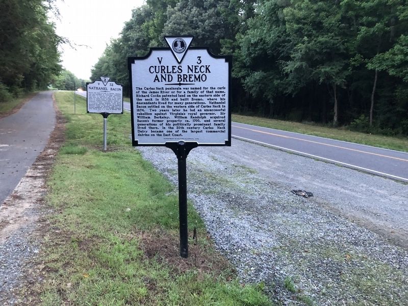
Another marker is no longer nearby. Curles Neck and Bremo (was a few steps from this marker but has been replaced with another marker now near it).
Related marker. Click here for another marker that is related to this marker. This marker has replaced the linked marker which had different content.
Credits. This page was last revised on June 27, 2021. It was originally submitted on June 26, 2021, by Devry Becker Jones of Washington, District of Columbia. This page has been viewed 1,580 times since then and 123 times this year. Last updated on June 26, 2021, by Bradley Owen of Morgantown, West Virginia. Photos: 1, 2. submitted on June 26, 2021, by Devry Becker Jones of Washington, District of Columbia.
