Explorer
An Epic Voyage
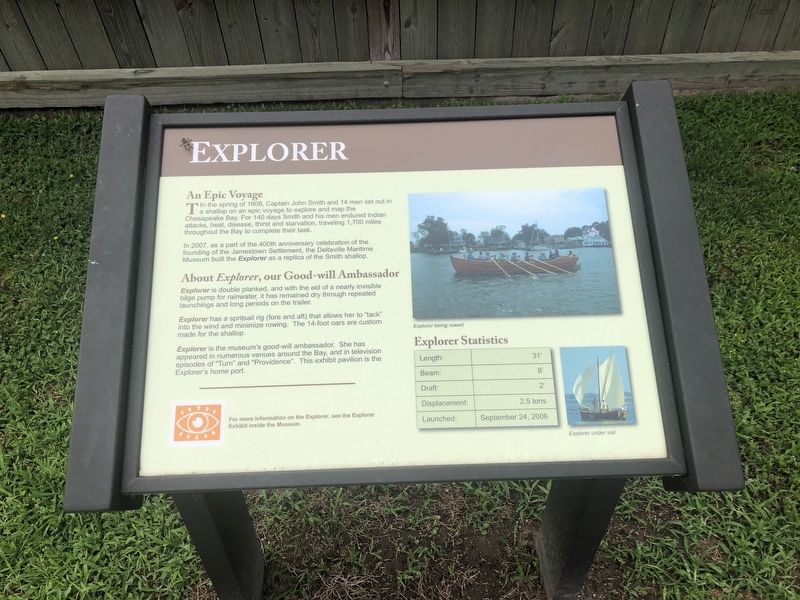
In the spring of 1608, Captain John Smith and 14 men set out in a shallop on an epic voyage to explore and map the Chesapeake Bay. For 140 days Smith and his men endured Indian attacks, heat, disease, thirst and starvation, traveling 1,700 miles throughout the Bay to complete their task.
In 2007, as a part of the 400th anniversary celebration of the founding of the Jamestown Settlement, the Deltaville Maritime Museum built the Explorer as a replica of the Smith shallop.
About Explorer, our Good-will Ambassador
Explorer is double planked, and with the aid of a nearly invisible bilge pump for rainwater, it has remained dry through repeated launchings and long periods on the trailer.
Explorer has a spritsail rig (fore and aft) that allows her to "tack" into the wind and minimize rowing. The 14-foot oars are custom made for the shallop.
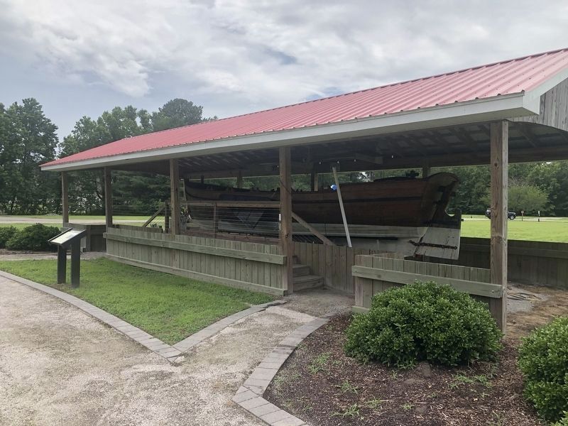
Explorer is the museum's good-will ambassador. She has appeared in numerous venues around the Bay, and in television episodes of "Turn" and "Providence". This exhibit pavilion is the Explorers home port.
Explorer Statistics
Length: 31'
Beam: 8'
Draft: 2'
Displacement:2.5 tons
Click or scan to see
this page online
Launched: September 24, 2006
Erected by The Deltaville Maritime Museum.
Topics. This historical marker is listed in these topic lists: Colonial Era • Exploration • Waterways & Vessels. A significant historical date for this entry is September 24, 2006.
Location. 37° 33.096′ N, 76° 19.51′ W. Marker is in Deltaville, Virginia, in Middlesex County. It can be reached from Jackson Creek Road (Virginia Route 660) 0.1 miles north of Orchard Lane, on the right when traveling north. Touch for map. Marker is in this post office area: Deltaville VA 23043, United States of America. Touch for directions.

Regionally, this marker is on Virginia’s Middle Peninsula. It is also in the American South, specifically in the Upper South, in the Tidewater, in the Chesapeake Bay Region, and on the Eastern Seaboard. Globally, it is in the North Atlantic Region, North America, the Western Hemisphere, the Western World, and the Anglosphere. Historically, it finds itself in what was once the territory of the Mississippian Culture, one of the original Thirteen Colonies, one of the Confederate States of America, and the Antebellum
Other nearby markers. At least 8 other markers are within walking distance of this marker: Deltaville Dollies (a few steps from this marker); Marine Railway (within shouting distance of this marker); Pette Spansell Clark (1908-2000) (within shouting distance of this marker); Boarding Cutter (within shouting distance of this marker); Oyster Tongs (within shouting distance of this marker); Confederate Boarding Cutter (within shouting distance of this marker); Flagpole and Flag Etiquette (about 300 feet away, measured in a direct line); Compass Rose (about 400 feet away). Touch for a list and map of all markers in Deltaville.
Credits. This page was last revised on June 27, 2021. It was originally submitted on June 27, 2021, by Devry Becker Jones of Washington, District of Columbia. This page has been viewed 208 times since then and 17 times this year. Photos: 1, 2. submitted on June 27, 2021, by Devry Becker Jones of Washington, District of Columbia.
