Midtown in San Antonio in Bexar County, Texas — The American South (West South Central)
Committee on Public Safety
Texas and the Civil War
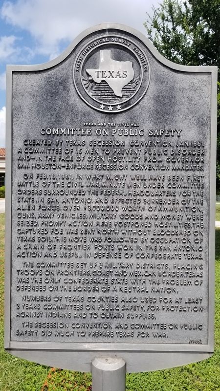
Created by Texas Secession Convention, Jan. 1861. A committee of 15 men to prevent public disorder and - in the face of open hostility from Governor Sam Houston - enforce secession convention mandates.
On Feb.18,1861, in what might well have been first battle of the Civil War, minute men under committee orders surrounded the federal headquarters for the state, in San Antonio, and effected surrender of the alien force. Over $3,000,000 worth of ammunition, guns, army vehicles, military goods and money were seized. Prompt action here postponed hostilities. The captured foe was sent north without bloodshed on Texas soil. This move was followed by occupation of a chain of frontier forts won in the San Antonio action and useful in defense of Confederate Texas.
The committee set up 3 military districts, placing troops on frontiers, coast and Mexican border. Texas was the only Confederate state with the problem of defenses on the border of a neutral nation.
Numbers of Texas counties also used for at least 2 years Committees on Public Safety, for protection against Indians and to obtain supplies.
The secession Convention and Committee on Public Safety did much to prepare Texas for war.
Erected 1965 by State Historical Survey Committee. (Marker Number 5247.)
Topics. This historical marker is listed in these topic lists: Parks & Recreational Areas • War, US Civil • Wars, US Indian. A significant historical month for this entry is January 1861.
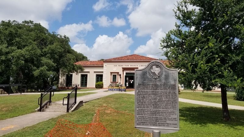
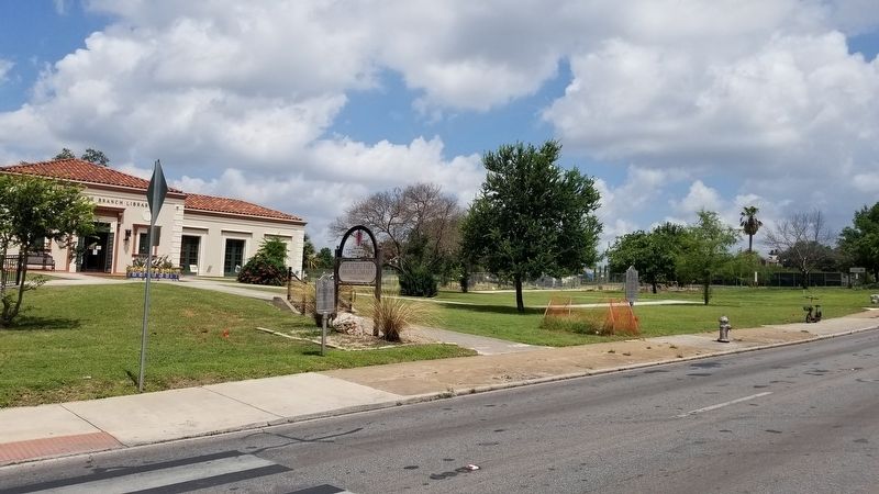
Location. 29° 26.793′ N, 98° 29.969′ W. Marker is in San Antonio, Texas, in Bexar County. It is in Midtown. Marker is on San Pedro Avenue, 0.1 miles north of West Myrtle Street, on the left when traveling north. The marker is located in front of the San Pedro Library. Touch for map. Marker is at or near this postal address: 1315 San Pedro Avenue, San Antonio TX 78212, United States of America. Touch for directions.
Other nearby markers. At least 8 other markers are within walking distance of this marker. Old San Pedro Springs (a few steps from this marker); Otto Koehler House (approx. ¼ mile away); Kings Highway Camino Real — Old San Antonio Road (approx. ¼ mile away); David J. and May Bock Woodward House (approx. ¼ mile away); The Woman's Club of San Antonio (approx. ¼ mile away); Roy and Madge Hearne House (approx. 0.3 miles away); L.B. Clegg House (approx. 0.3 miles away); Jay Adams House (approx. 0.3 miles away). Touch for a list and map of all markers in San Antonio.
Credits. This page was last revised on February 2, 2023. It was originally submitted on June 28, 2021, by James Hulse of Medina, Texas. This page has been viewed 194 times since then and 17 times this year. Photos: 1, 2, 3. submitted on June 28, 2021, by James Hulse of Medina, Texas.


