Chazy in Clinton County, New York — The American Northeast (Mid-Atlantic)
Heart's Delight
Photographed by Robert Rusaw, June 21, 2021
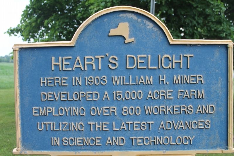
1. Heart's Delight Marker
Here in 1903 William H. Miner developed a 15,000 acre farm employing over 800 workers and utilizing the latest advances in science and technology
Topics. This historical marker is listed in these topic lists: Agriculture • Horticulture & Forestry • Science & Medicine. A significant historical year for this entry is 1903.
Location. 44° 53.275′ N, 73° 28.318′ W. Marker is in Chazy, New York, in Clinton County. It is on Miner Farm Road west of Ridge Road, on the right when traveling west. Touch for map. Marker is at or near this postal address: 1034 Miner Farm Road, Chazy NY 12921, United States of America. Touch for directions.

Regionally, this marker is in Upstate New York, in the Adirondacks & North Country, and in the Champlain Valley. It is also in the American Northeast and in the Mid-Atlantic. Globally, it is in North America, the Great North Woods, the Western Hemisphere, the Western World, and the Anglosphere. Historically, it finds itself in what was once the Viceroyalty of New France, New Netherland, and one of the original Thirteen Colonies.
Other nearby markers. At least 8 other markers
this page online
Also see . . . The William H. Miner Agricultural Research Institute. (Submitted on July 7, 2021, by Michael Herrick of Southbury, Connecticut.)
Photographed by Kevin Craft, September 23, 2026
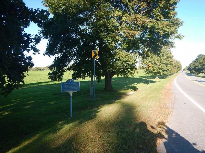
2. Wideview of Heart's Delight Marker
Photographed by Robert Rusaw, June 21, 2021
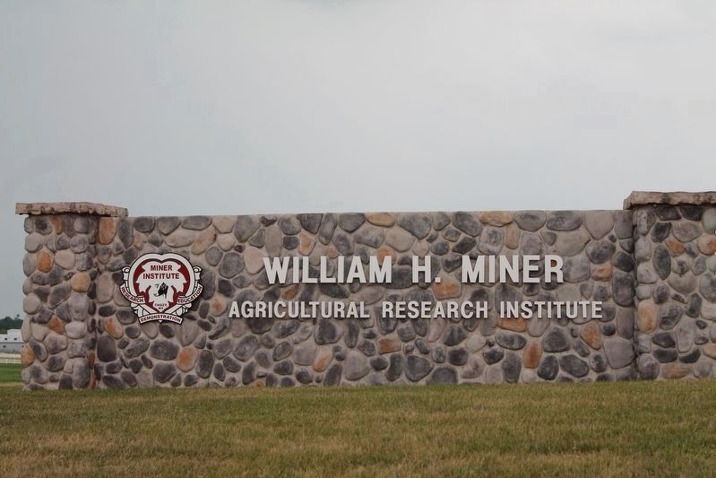
3. Miner Agricultural Research Institute Entrance
Photographed by Robert Rusaw, June 21, 2021
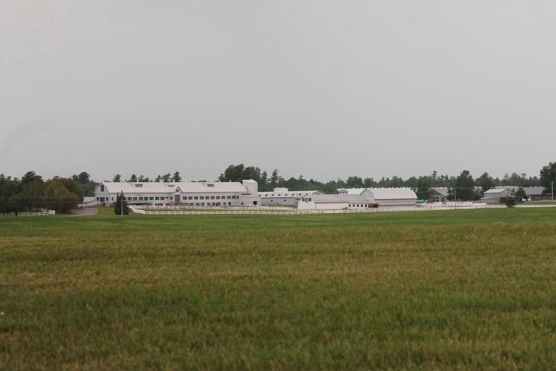
4. The William H. Miner Agricultural Research Institute
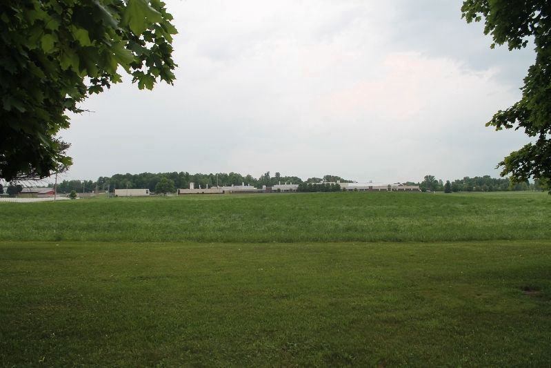
Photographed by Robert Rusaw, June 21, 2021
5. Fields of the Miner Agricultural Research Institute
Credits. This page was last revised on September 25, 2026. It was originally submitted on July 1, 2021, by Robert Rusaw of Massena, New York. This page has been viewed 343 times since then and 34 times this year. Photos: 1. submitted on July 1, 2021, by Robert Rusaw of Massena, New York. 2. submitted on September 25, 2026, by Kevin Craft of Bedford, Quebec. 3, 4, 5. submitted on July 1, 2021, by Robert Rusaw of Massena, New York. • Michael Herrick was the editor who published this page.
