Grafton in Taylor County, West Virginia — The American South (Appalachia)
Grafton National Cemetery
A State Forged from War
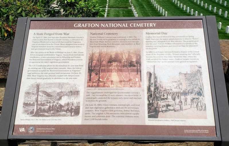
On April 17, 1861, just days after President Abraham Lincoln's order to seize Fort Sumter in South Carolina, a convention of Virginia officials met to back a bill that would let Virginians vote on secession from the Union. Many delegates from western Virginia withdrew from the convention and vowed to form a state government loyal to the Union.
After the victory at the Battle of Philippi on June 3, 1861, Union forces occupied northwestern Virginia. Secure from Confederate interference, a new convention met in Wheeling and formed the Restored Government of Virginia, which President Lincoln recognized as the state's legitimate government.
The U.S. Constitution allows for the formation of a new state from an existing one if the original state consents. Since the federal government accepted the Restored Government as legal authority, the state granted itself permission. On June 20, 1863, West Virginia was officially created with the provision that slavery would gradually be abolished in the new state.
National Cemetery
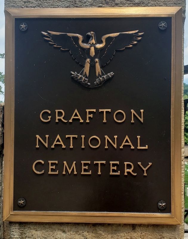
Grafton National Cemetery was established in 1867. The site was chosen for íts proximity to existing Union burials in the private Maple Avenue Cemetery. Remains were brought here from Wheeling, Rich Mountain, and elsewhere in West Virginia and eastern Kentucky.
The rugged terrain challenged the Quartermaster General's staff. They terraced the 3.5-acre cemetery into three levels. A central path connected the terraces and a stone wall was built to enclose the grounds.
On June 14, 1868, Union veterans, townspeople, and local and state dignitaries gathered to dedicate the picturesque cemetery. West Virginia's first governor, Arthur Boreman, spoke. The original 1,254 interments were almost equally known and unknown dead. The cemetery contains more than 2,100 burials today.
Memorial Day
Grafton first hosted Memorial Day ceremonies in spring 1869. That year, the mayor asked residents to observe "flower strewing day” alongside Civil War veterans. The program grew over the years. School children still march in a parade to the cemetery carrying flowers and American flags for placement on the graves.
In 1882, local Union veterans formed a chapter of the Grand Army of the Republic (GAR). “Flower strewing day” officially became Decoration Day (later Memorial Day) when the GAR adopted the formal name. Grafton became known as "Memorial City” as the annual event gained recognition.
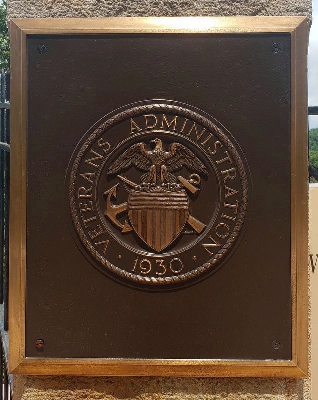
Erected by National Cemetery Administration, U.S. Department of Veterans Affairs.
Topics and series. This historical marker is listed in these topic lists:
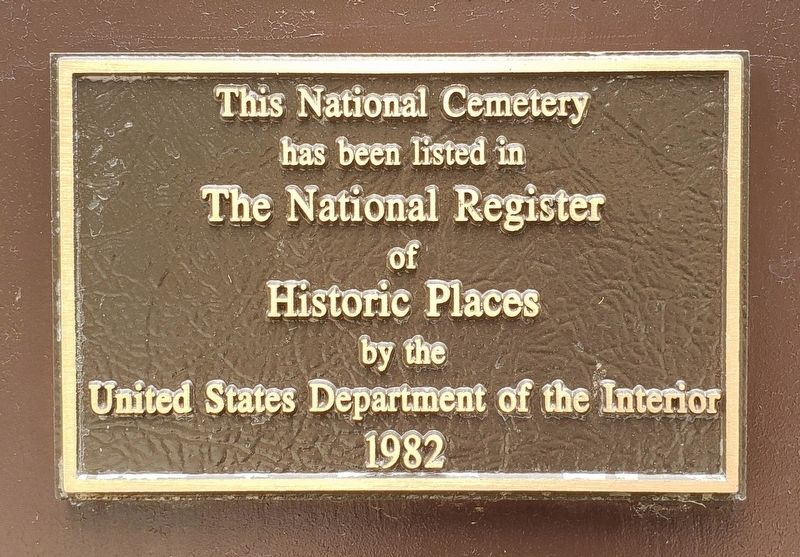
Cemeteries & Burial Sites • War, US Civil. In addition, it is included in the National Cemeteries, and the National Register of Historic Places series lists. A significant historical date for this entry is April 17, 1861.
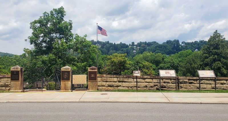
Location. 39° 20.168′ N, 80° 1.784′ W. Marker is in Grafton, West Virginia, in Taylor County. Marker is on Walnut Street west of Armstrong Avenue, on the right when traveling west. Touch for map. Marker is at or near this postal address: 431 Walnut Street, Grafton WV 26354, United States of America. Touch for directions.
Other nearby markers. At least 8 other markers are within walking distance of this marker. Veterans Memorial (here, next to this marker); A National Cemetery System (here, next to this marker); Grave of Thornsbury Bailey Brown (about 300 feet away, measured in a direct line); Grafton Military Hospital (approx. ¼ mile away); B&O Freight Station (approx. 0.4 miles away); Latrobe Street (approx. 0.4 miles away); Grafton Post Office (approx. half a mile away); Forcella Buildings (approx. half a mile away). Touch for a list and map of all markers in Grafton.
Also see . . . Grafton National Cemetery. U.S. Department of Veterans Affairs, National Cemetery Administration (Submitted on June 26, 2021.)
Credits. This page was last revised on July 11, 2021. It was originally submitted on June 25, 2021, by Bradley Owen of Morgantown, West Virginia. This page has been viewed 245 times since then and 27 times this year. Last updated on July 3, 2021, by Bradley Owen of Morgantown, West Virginia. Photos: 1, 2, 3, 4, 5, 6. submitted on June 25, 2021, by Bradley Owen of Morgantown, West Virginia. • Devry Becker Jones was the editor who published this page.
