Baton Rouge in East Baton Rouge Parish, Louisiana — The American South (West South Central)
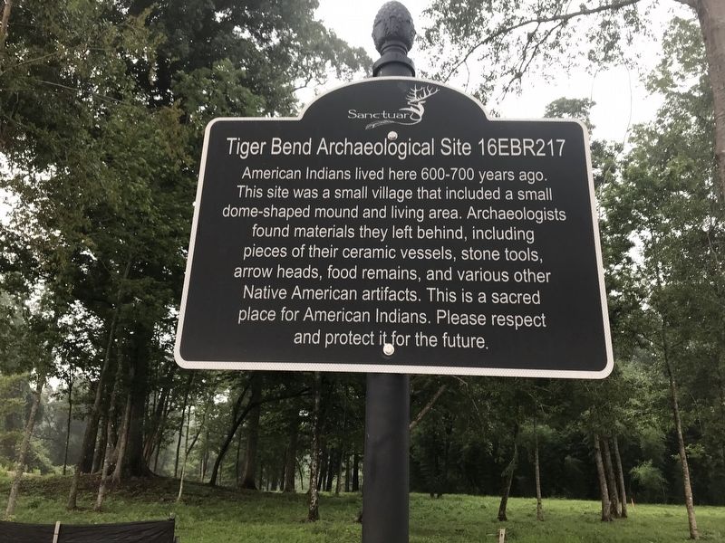
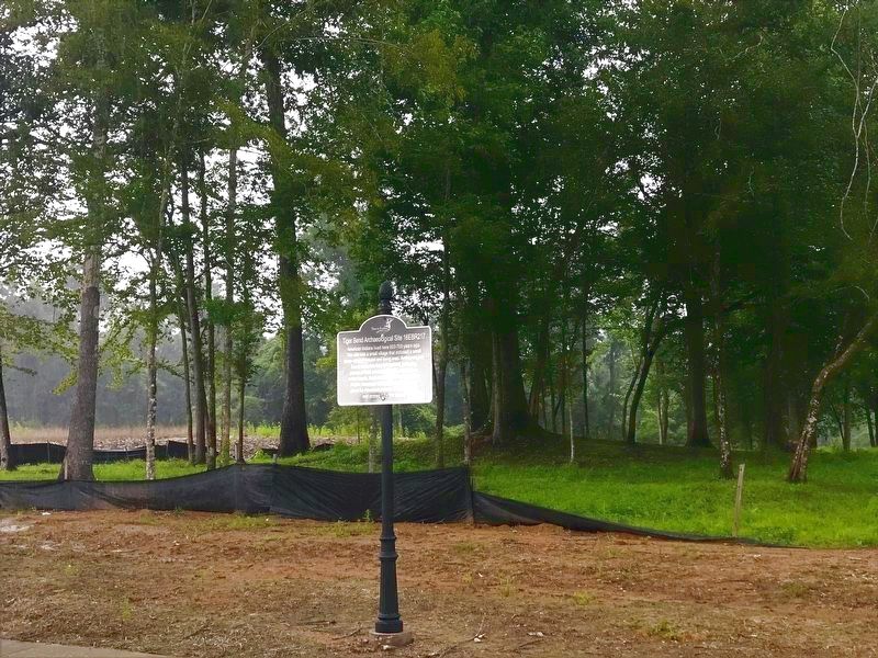
Tiger Bend Archaeological Site
16EBR217
Erected 2021 by Sanctuary Subdivision.
Topics. This historical marker is listed in these topic lists: Anthropology & Archaeology • Native Americans.
Location. 30° 23.457′ N, 90° 58.334′ W. Marker is in Baton Rouge, Louisiana, in East Baton Rouge Parish. Marker is on Sanctuary Avenue, 0.6 miles north of South Tiger Bend Road, on the right when traveling north. Touch for map. Marker is in this post office area: Baton Rouge LA 70817, United States of America. Touch for directions.
Other nearby markers. At least 8 other markers are within 7 miles of this marker, measured as the crow flies. The Purple Heart Trail (approx. 2.8 miles away); William Bartram Trail (approx. 3.4 miles away); Bayou Manchac (approx. 3˝ miles away); Hebron Baptist Church (approx. 3.8 miles away); Joe Martin, Jr. (approx. 3.8 miles away); Original Site/Donors of Land (approx. 4.2 miles away); Galveztown (approx. 6 miles away); Denham Springs (approx. 6.2 miles away). Touch for a list and map of all markers in Baton Rouge.
Credits. This page was last revised on July 3, 2021. It was originally submitted on July 3, 2021, by Cajun Scrambler of Assumption, Louisiana. This page has been viewed 412 times since then and 56 times this year. Photos: 1, 2. submitted on July 3, 2021, by Cajun Scrambler of Assumption, Louisiana.

