Lewisburg in Greenbrier County, West Virginia — The American South (Appalachia)
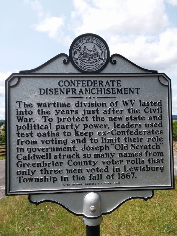
Confederate Disenfranchisement
Erected 2019 by West Virginia Archives & History.
Topics. This historical marker is listed in these topic lists: Civil Rights • War, US Civil. A significant historical year for this entry is 1867.
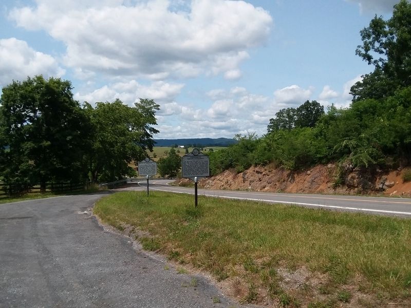
Location. 37° 49.209′ N, 80° 28.615′ W. Marker is in Lewisburg, West Virginia, in Greenbrier County. Marker is on Midland Trail East (U.S. 60) 0.2 miles west of Battle Hill Drive, on the left when traveling west. Touch for map. Marker is in this post office area: Lewisburg WV 24901, United States of America. Touch for directions.
Other nearby markers. At least 8 other markers are within 2 miles of this marker, measured as the crow flies. Battle of Tuckwiller's Hill (here, next to this marker); Big Lime (approx. 1.8 miles away); Lewisburg (approx. 1.8 miles away); Battle of Lewisburg (approx. 1.9 miles away); Confederate Cemetery (approx. 1.9 miles away); a different marker also named Lewisburg (approx. 1.9 miles away); a different marker also named Lewisburg (approx. 1.9 miles away); a different marker also named Confederate Cemetery (approx. 1.9 miles away). Touch for a list and map of all markers in Lewisburg.
Additional keywords. civil war voting rights
Credits. This page was last revised on July 11, 2021. It was originally submitted on July 4, 2021, by Roger Miller of Pulaski, Virginia. This page has been viewed 176 times since then and 16 times this year. Photos: 1, 2. submitted on July 4, 2021, by Roger Miller of Pulaski, Virginia. • Bernard Fisher was the editor who published this page.

