Near Colonial Beach in Westmoreland County, Virginia — The American South (Mid-Atlantic)
"Era of Good Feelings"
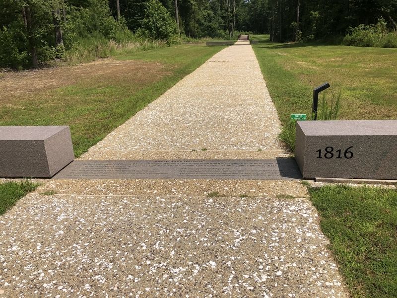
1816
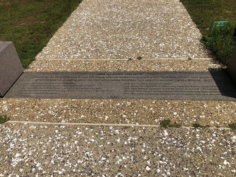
I should be destitute of feeling I was not deeply affected by the strong proof which my fellow citizens have given me of their confidence in calling me to the high office whose functions I am about to assume. (James Monroe, 1817)
1816: Elected fifth President of the United States
1817: Visits northeastern states in best of three popular regional tours
1817: Furnishes rebuilt White House in style emulated by later presidents
1818: Orders General Andrew Jackson to suppress hostile Indians in Spanish Florida
1818: Tours Chesapeake Bay region
1819: Tours southern and western states
1819: Authorizes negotiation of Adams-Onis Treaty with Spain to acquire Florida
1820: Signs Missouri Compromise into law, delaying sectional crisis over slavery
1820: Elected to second presidential term with one dissenting Electoral College vote
1821: Meets with delegations of Native American leaders from trans-Mississippi region
Erected by The James Monroe Memorial Foundation. (Marker Number 6.)
Topics and series. This historical marker is listed in these topic lists: Government & Politics • Indigenous Peoples and Communities
this page online
Location. 38° 14.377′ N, 76° 59.181′ W. Marker is near Colonial Beach, Virginia, in Westmoreland County. It can be reached from James Monroe Highway (Virginia Route 205) 0.3 miles north of Old Road, on the right when traveling north. Touch for map. Marker is at or near this postal address: 4460 James Monroe Hwy, Colonial Beach VA 22443, United States of America. Touch for directions.

Regionally, this marker is on the Northern Neck. It is also in the American South, specifically in the Upper South, in the Tidewater, in the Chesapeake Bay Region, and on the Eastern Seaboard. Globally, it is in the North Atlantic Region, North America, the Western Hemisphere, the Western World, and the Anglosphere. Historically, it finds itself in what was once the territory of the Mississippian Culture, one of the original Thirteen Colonies, one of the Confederate States of America, and the Antebellum
Other nearby markers. At least 8 other markers are within walking distance of this marker: The Monroe Doctrine (within shouting distance of this marker); Prelude to the Presidency (within shouting distance of this marker); Statesman at Home and Abroad (about 400 feet away, measured in a direct line); James Monroe's Legacy (about 400 feet away); Monroe Creek (about 500 feet away); Journey's End (about 500 feet away); Service to the Commonwealth (about 600 feet away); Revolutionary Idealist (approx. 0.2 miles away). Touch for a list and map of all markers in Colonial Beach.
Credits. This page was last revised on July 5, 2021. It was originally submitted on July 5, 2021, by Devry Becker Jones of Washington, District of Columbia. This page has been viewed 244 times since then and 19 times this year. Photos: 1, 2. submitted on July 5, 2021, by Devry Becker Jones of Washington, District of Columbia.
