Aztalan in Jefferson County, Wisconsin — The American Midwest (Great Lakes)
Welcome to Aztalan National Historic Landmark
Photographed by Devon Polzar, 2021
1. Welcome to Aztalan National Historic Landmark Marker
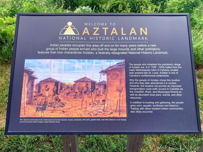
The people who inhabited the prehistoric village of Aztalan (ca. A.D. 1100 - 1250) hailed from the major Mississippian town of Cahokia, located near present-day St. Louis. Aztalan is one of Cahokia's northernmost settlements.
Why the people of Aztalan chose this location and why they later abandoned it is unclear. However, the location did provide an important transportation route (with access to Cahokia via the Crawfish, Rock, and Mississippi Rivers) as well as abundant local plant, animal, and other resources.
In addition to hunting and gathering, the people grew corn, squash, sunflower and tobacco. Trading with other resident Indian communities also likely occurred.
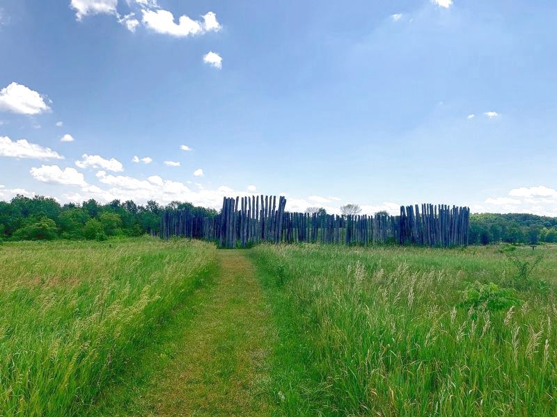
Photo caption: This vibrant community built ceremonial and burial mounds, houses, stockades, fish weirs, garden beds, and other features. In its heyday, several hundred Indian people called Aztalan home.
Topics.
this page online
Location. 43° 4.132′ N, 88° 51.76′ W. Marker is in Aztalan, Wisconsin, in Jefferson County. It can be reached from County Road Q. Touch for map. Marker is at or near this postal address: N6200 County Road Q, Jefferson WI 53549, United States of America. Touch for directions.

Regionally, this marker is in Southeast Wisconsin and in Greater Madison. It is also in the American Midwest and in the Corn Belt. Globally, it is in North America, the Western Hemisphere, the Western World, and the Anglosphere. Historically, it finds itself in what was once the territory of the Mississippian Culture and also the Northwest Territory.
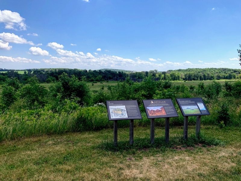
Other nearby markers. At least 8 other markers are within walking distance of this marker: Site Map of the Prehistoric Village of Aztalan (here, next to this marker); The Cahokia Connection (here, next to this marker); Aztalan Mound Park (a few steps from this marker); Aztalan (within shouting distance of this marker); Stone Tools (about 700 feet away, measured in a direct
Photographed by Devon Polzar, 2021
2. Welcome to Aztalan National Historic Landmark Marker
More about this marker. The marker is at the start of the trail through Aztalan State Park near the northern parking lot.
Photographed by Devon Polzar, 2021
3. Aztalan State Park
Photographed by Devon Polzar, 2021
4. Aztalan State Park
Credits. This page was last revised on July 10, 2021. It was originally submitted on July 7, 2021, by Devon Polzar of Port Washington, Wisconsin. This page has been viewed 605 times since then and 50 times this year. Photos: 1, 2, 3, 4. submitted on July 7, 2021, by Devon Polzar of Port Washington, Wisconsin. • Mark Hilton was the editor who published this page.
