Aztalan in Jefferson County, Wisconsin — The American Midwest (Great Lakes)
Leisure Activities
Aztalan National Historic Landmark
Photographed by Devon Polzar, 2021
1. Leisure Activities Marker
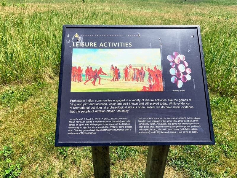
Chunkey was a game in which a small, round, ground stone artifact (called a chunkey stone or discoidal) was rolled across an open area while players threw spears at the location where they thought the stone would stop. Whoever came closest, won. Chunkey games have been historically documented over a wide area of North America.
The illustration above, by the artist George Catlin, shows Mandan men engaged in the game while other members of the community watch. At Aztalan, this game was likely played in the large plaza area. Beyond enjoying competitive games, prehistoric Indian people sang, danced, played music (with flutes, rattles, and drums), and told jokes and stories...just as we do today.
Photo caption: Chunky Stones.
Topics. This historical marker is listed in this topic list: Indigenous Peoples and Communities.
Location. 43° 3.966′ N,
this page online

Regionally, this marker is in Southeast Wisconsin and in Greater Madison. It is also in the American Midwest and in the Corn Belt. Globally, it is in North America, the Western Hemisphere, the Western World, and the Anglosphere. Historically, it finds itself in what was once the territory of the Mississippian Culture and also the Northwest Territory.
Other nearby markers. At least 8 other markers are within walking distance of this marker: Prehistoric Pottery (within shouting distance of this marker); Appearance and Manner of Dress (within shouting distance of this marker); Other Artifacts (about 300 feet away, measured in a direct line); Social Organization (about 300 feet away); Stone Tools (about 500 feet away); House Structures (about 600 feet away); Agriculture and Gathering (about 600 feet away); Conical Mounds (about 600 feet away). Touch for a list and map
Photographed by Devon Polzar, 2021
2. Leisure Activities Marker
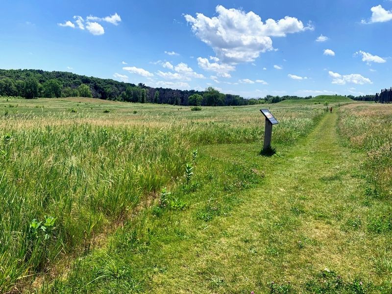
More about this marker. The marker is along the main trail that runs through Aztalan State Park between the Northwest Mound and the Southwest Mound.
Credits. This page was last revised on July 10, 2021. It was originally submitted on July 7, 2021, by Devon Polzar of Port Washington, Wisconsin. This page has been viewed 295 times since then and 21 times this year. Photos: 1, 2. submitted on July 7, 2021, by Devon Polzar of Port Washington, Wisconsin. • Mark Hilton was the editor who published this page.
