Near Orick in Humboldt County, California — The American West (Pacific Coastal)
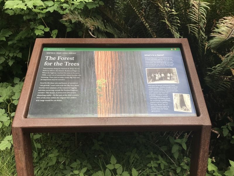
The Forest for the Trees
Photographed by Duane and Tracy Marsteller, June 30, 2021
1. The Forest for the Trees Marker
Awed by the sheer size and beauty of ancient or "old-growth” coast redwoods like Big Tree, many tourists were unaware of the industrial logging activities occurring outside the forested highway corridor. This façade of protection obscured a disturbing reality — by the end of the 20th century, 95% of the trees within the original two-million acre range would be cut down.
What's in a Name?
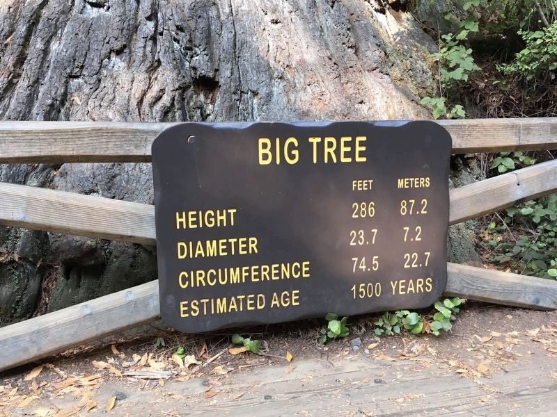
What is a "big tree?" At over 20 feet (6 m) in diameter and nearly 300 feet (91 m) tall, Big Tree is certainly a conspicuous specimen, as its name implies. But you'll see larger and taller trees during your visit. Indeed, Big Tree is just one charismatic part of a forest of big trees.
Well-meaning people continue to name individual trees, whether thought to be the tallest, widest, oldest, or because of other unique characteristics. As named trees gain fame, people
this page online
Erected by California Department of Parks and Recreation.
Topics. This historical marker is listed in these topic lists: Environment • Horticulture & Forestry • Roads & Vehicles. A significant historical year for this entry is 2000.
Location. 41° 22.403′ N, 124° 0.817′ W. Marker is near Orick, California, in Humboldt County. It can be reached from Newton B. Drury Scenic Parkway, on the right when traveling north. Marker is in the Big Tree Wayside in Prairie Creek Redwoods State Park. The wayside is about ¾ mile north of the Prairie Creek Visitors Center and about two miles north of the U.S. 101 junction at the park's southern end. Touch for map. Marker is in this post office area: Orick CA 95555, United States of America. Touch for directions.

Regionally, this marker is in the North Coast, specifically on the Coast Ranges, and in the Klamath Mountains. It is also on the American Pacific
Photographed by Duane and Tracy Marsteller, June 30, 2021
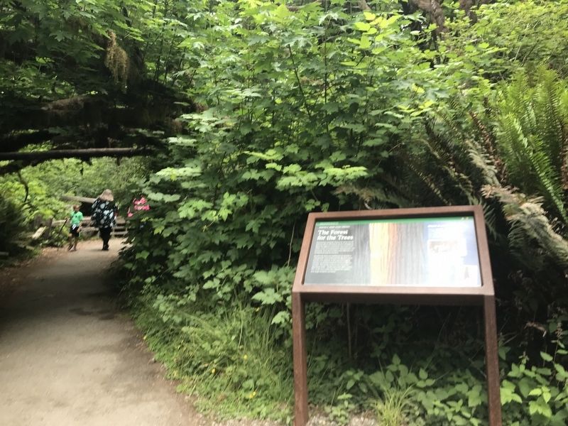
2. The Forest for the Trees Marker
Other nearby markers. At least 8 other markers are within 11 miles of this marker, measured as the crow flies: The Redwood Highway (approx. 0.2 miles away); The CCC at Prairie Creek (approx. 0.8 miles away); Madison Grant Forest and Elk Refuge (approx. 1.1 miles away); Big Diamond (approx. 6.3 miles away); Fort Terwer (approx. 9½ miles away); River on the Rampage (approx. 10.6 miles away); Captain Courageous (approx. 10.7 miles away); Disguised to Protect (approx. 10.8 miles away). Touch for a list and map of all markers in Orick.
Photographed by Craig Baker, September 15, 2021
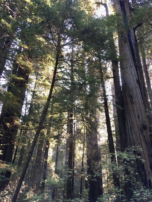
3. Prairie Creek Redwoods
Photographed by Craig Baker, September 15, 2021
4. Sign at Big Tree
Credits. This page was last revised on October 2, 2021. It was originally submitted on July 9, 2021, by Duane and Tracy Marsteller of Murfreesboro, Tennessee. This page has been viewed 404 times since then and 31 times this year. Photos: 1, 2. submitted on July 9, 2021, by Duane and Tracy Marsteller of Murfreesboro, Tennessee. 3, 4. submitted on October 2, 2021, by Craig Baker of Sylmar, California.
