Near Sixes in Curry County, Oregon — The American West (Northwest)
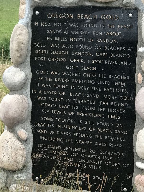
Oregon Beach Gold
Gold was washed onto the beaches by the rivers emptying onto them. It was found in very fine particles, in a layer of black sand. More gold was found in terraces far behind today's beaches, from the higher sea levels of prehistoric times.
Some "color" is still found on beaches in stringers of black sand, and up rivers feeding the beaches including the nearby Sixes River.
Erected 2014 by Umpqua Joe Chapter 1859, The Ancient and Honorable Order of E Clampus Vitus; Curry Historical Society; and Oregon Department of Transportation.
Topics. This historical marker is listed in these topic lists: Environment • Waterways & Vessels. A significant historical year for this entry is 1852.
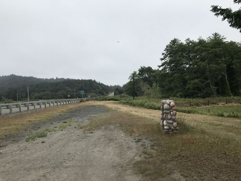
Location. 42° 49.286′ N, 124° 28.993′ W. Marker is near Sixes, Oregon, in Curry County. Marker is on Oregon Coast Highway (U.S. 101) 0.1 miles north of Sixes River Road, on the left when traveling north. Touch for map. Marker is in this post office area: Sixes OR 97476, United States of America. Touch for directions.
Other nearby markers. At least 8 other markers are within 6 miles of this marker, measured as the crow flies. Toward a New Century (approx. 3.1 miles away); We Have a River in Common (approx. 3.1 miles away); Lifeline to the Past (approx. 3.2 miles away); The Pioneer Will ... and the Pioneer Way (approx. 3.2 miles away); Building Community Cornerstones (approx. 3.4 miles away); a different marker also named Lifeline to the Past (approx. 3.9 miles away); Battle Rock City Park (approx. 5.4 miles away); Wreck of the Cottoneva (approx. 5.4 miles away).
Credits. This page was last revised on July 9, 2021. It was originally submitted on July 9, 2021, by Duane and Tracy Marsteller of Murfreesboro, Tennessee. This page has been viewed 142 times since then and 14 times this year. Photos: 1, 2. submitted on July 9, 2021, by Duane and Tracy Marsteller of Murfreesboro, Tennessee.

