McEwen in Humphreys County, Tennessee — The American South (East South Central)
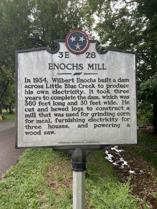
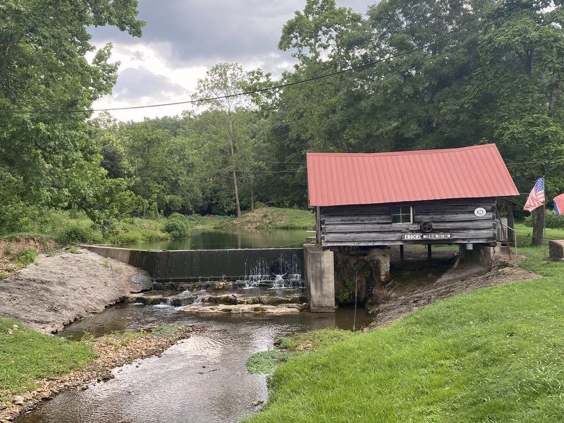
Enochs Mill
Erected by Tennessee Historical Commission. (Marker Number 3E 28.)
Topics and series. This historical marker is listed in these topic lists: Agriculture • Industry & Commerce • Waterways & Vessels. In addition, it is included in the Tennessee Historical Commission series list. A significant historical year for this entry is 1934.
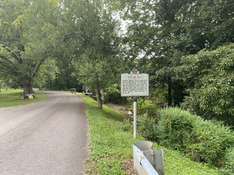
Location. 36° 4.679′ N, 87° 41.247′ W. Marker is in McEwen, Tennessee, in Humphreys County. Marker is on Enochs Road, 0.1 miles south of Little Blue Creek Road (County Road 1802), on the left when traveling east. Touch for map. Marker is at or near this postal address: 3072 Little Blue Creek Rd, Mc Ewen TN 37101, United States of America. Touch for directions.
Other nearby markers. At least 8 other markers are within 6 miles of this marker, measured as the crow flies. Enochs Grist Mill (within shouting distance of this marker); Yellow Bank Trestle (approx. 3.6 miles away); “Maple Drive” (approx. 5.2 miles away); Fort Waverly (approx. 5.8 miles away); Fort Hill at Waverly (approx. 5.8 miles away); Welcome to Fort Waverly & The Humphreys County and Civil War Museum (approx. 5.9 miles away); The Butterfield House (approx. 5.9 miles away); Waverly Disaster (approx. 5.9 miles away). Touch for a list and map of all markers in McEwen.
Also see . . . National Park Service Asset Detail for Enochs Mill. National Register of Historic Places nomination (PDF) and photographs (PDF) submitted for the mill. (Submitted on February 28, 2022, by Duane and Tracy Marsteller of Murfreesboro, Tennessee.)
Credits. This page was last revised on February 28, 2022. It was originally submitted on July 11, 2021, by Darren Jefferson Clay of Duluth, Georgia. This page has been viewed 126 times since then and 12 times this year. Photos: 1, 2, 3. submitted on July 11, 2021, by Darren Jefferson Clay of Duluth, Georgia. • Devry Becker Jones was the editor who published this page.


