Near Richmond in Henrico County, Virginia — The American South (Mid-Atlantic)
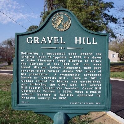
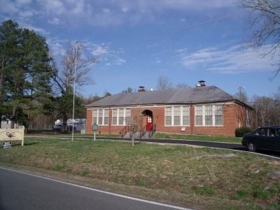
Gravel Hill
Erected 2001 by County of Henrico. (Marker Number HC-17.)
Topics. This historical marker is listed in these topic lists: African Americans • Civil Rights. A significant historical year for this entry is 1777.
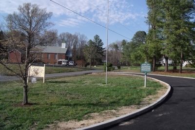
Location. 37° 26.206′ N, 77° 15.348′ W. Marker is near Richmond, Virginia, in Henrico County. Marker is on Longbridge Road, 0.1 miles north of Carters Mill Road, on the right when traveling north. Touch for map. Marker is at or near this postal address: 5417 Long Bridge Road, Henrico VA 23231, United States of America. Touch for directions.
Other nearby markers. At least 8 other markers are within 2 miles of this marker, measured as the crow flies. Darby House (approx. half a mile away); Frazier's Farm (approx. 0.6 miles away); Battle of Glendale (approx. 0.6 miles away); Pvt. Benjamin B. Levy (approx. one mile away); a different marker also named Frazier's Farm (approx. one mile away); Seven Days Battles (approx. one mile away); Willis' Church (approx. 1.1 miles away); a different marker also named Seven Days Battles (approx. 1.1 miles away). Touch for a list and map of all markers in Richmond.
Related marker. Click here for another marker that is related to this marker.
Also see . . . Henrico County Historical Society. Varina District Historic Sites - Gravel Hill. (Submitted on April 6, 2009.)
Credits. This page was last revised on July 7, 2021. It was originally submitted on April 6, 2009, by Bernard Fisher of Richmond, Virginia. This page has been viewed 2,485 times since then and 63 times this year. Photos: 1, 2, 3. submitted on April 6, 2009, by Bernard Fisher of Richmond, Virginia.


