Pensacola in Escambia County, Florida — The American South (South Atlantic)
Barkley House
| — | Colonial Archaeological Trail | — |
Photographed by Mark Hilton, July 11, 2021
1. Barkley House Marker
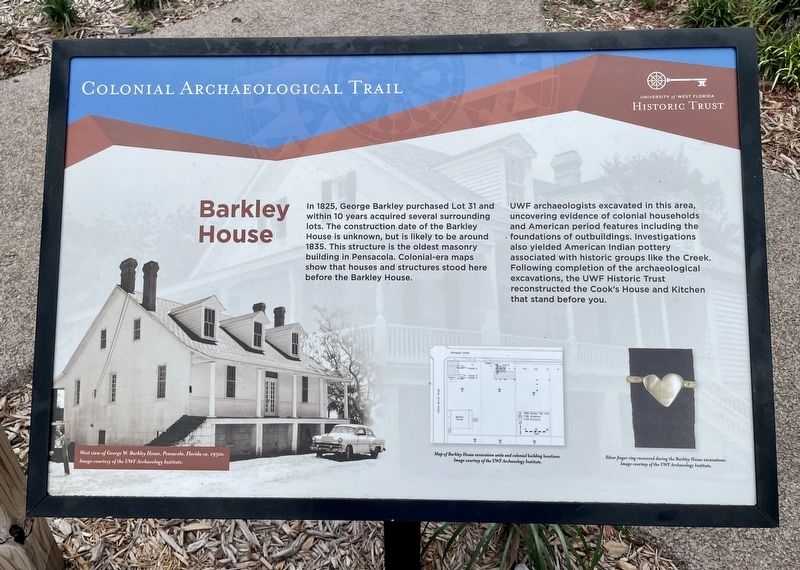
In 1825, George Barkley purchased Lot 31 and within 10 years acquired several surrounding lots. The construction date of the Barkley House is unknown, but is likely to be around 1835. This structure is the oldest masonry building in Pensacola. Colonial-era maps show that houses and structures stood here before the Barkley House.
UWF archaeologists excavated in this area, uncovering evidence of colonial households and American period features including the foundations of outbuildings. Investigations also yielded American Indian pottery associated with historic groups like the Creek. Following completion of the archaeological excavations, the UWE Historic Trust reconstructed the Cook's House and Kitchen that stand before you.
Photo captions:
Left: West view of George W. Barkley House, Pensacola, Florida ca. 1950s.
Middle: Map of Barkley House excavation units and colonial building locations.
Right: Silver finger ring recovered during the Barkley House excavations.
Erected by University of West Florida Historic Trust.
Topics. This historical marker is listed in these topic lists: Anthropology & Archaeology
this page online
Location. 30° 24.553′ N, 87° 12.425′ W. Marker is in Pensacola, Florida, in Escambia County. It is at the intersection of Zaragoza Street and South Florida Blanca Street, on the right when traveling east on Zaragoza Street. Located on north side of house. Touch for map. Marker is at or near this postal address: 410 S Florida Blanca St, Pensacola FL 32502, United States of America. Touch for directions.

Regionally, this marker is on the Florida Panhandle. It is also in the American South, specifically in the Deep South, and on the Gulf Coast. Globally, it is in the North Atlantic Region, North America, a Gulf of Mexico state, the Western Hemisphere, the Western World, and the Anglosphere. Historically, it finds itself in what was once New Spain, the territory of the Mississippian Culture, one of the Confederate States of America, and the Antebellum South.
Other nearby markers. At least 8 other markers are within walking distance of this marker: Spanish Exploration and Discovery (about 400 feet away, measured
Photographed by Mark Hilton, July 11, 2021
2. North side of Barkley House and Marker
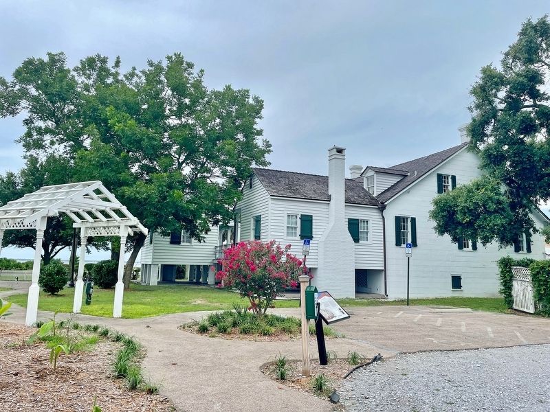
Regarding Barkley House. Popular venue for outdoor weddings and receptions.
Credits. This page was last revised on October 10, 2021. It was originally submitted on July 12, 2021, by Mark Hilton of Montgomery, Alabama. This page has been viewed 729 times since then and 62 times this year. Photos: 1, 2. submitted on July 12, 2021, by Mark Hilton of Montgomery, Alabama.
Editor’s want-list for this marker. Photo of front of house to include other plaques. • Can you help?
