
Fairbury in Jefferson County, Nebraska — The American Midwest (Upper Plains)
Oregon Trail
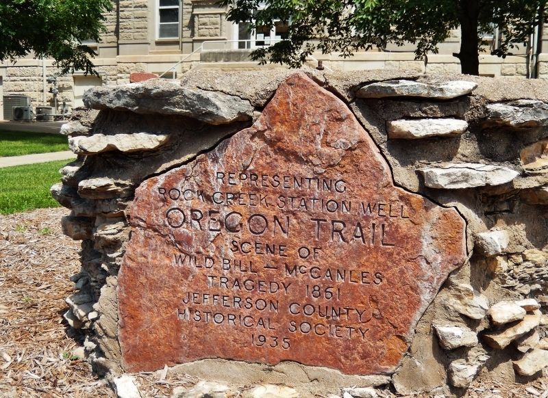
Representing Rock Creek Station Well
Photographed by Cosmos Mariner, July 4, 2021
1. Representing Rock Creek Station Well Marker
Wild Bill — McCanles
tragedy 1861
Erected 1935 by Jefferson County Historical Society.
Topics and series. This historical marker is listed in these topic lists: Notable Events • Roads & Vehicles. In addition, it is included in the Oregon Trail, and the Pony Express National Historic Trail series lists. A significant historical date for this entry is July 12, 1861.
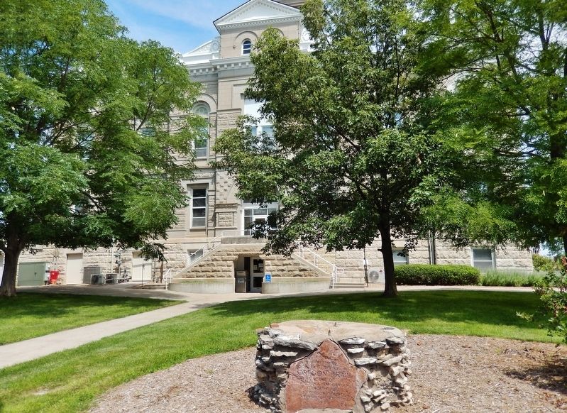
Location. 40° 8.137′ N, 97° 10.861′ W. Marker is in Fairbury, Nebraska, in Jefferson County. It is on D Street north of 4th Street, on the right when traveling north. Marker is located near the sidewalk on the east side of the Jefferson County Courthouse. Touch for map. Marker is at or near this postal address: 411 4th St, Fairbury NE 68352, United States of America. Touch for directions.

Regionally, this marker is in Eastern Nebraska and in the Republican River Valley. It is also in the American Midwest, in the Corn Belt, and on the prairies. Globally, it is in North America, the Western Hemisphere, the Western World, and the Anglosphere. Historically, it finds itself in what was once the Louisiana Purchase.
Other nearby markers. At least
this page online
Also see . . . Wild Bill Hickok’s first gunfight. By the summer of 1861, Hickok was working as a stock tender at a stage depot in Nebraska called Rock Creek Station. Across the creek lived David McCanles, a mean-spirited man who disliked Hickok. On July 12, 1861, the tension between Hickok and McCanles came to a head. McCanles arrived at the station with two other men and his 12-year-old-son and exchanged angry words with the station manager. When
Photographed by Cosmos Mariner, July 4, 2021
2. Representing Rock Creek Station Well Marker
Additional commentary.
1. Marker's original location.
Marker was originally located in Quivera Park. When the park closed (and before Rock Creek Station State Historical Park was open), the marker was moved to the lawn of the Jefferson County Courthouse. The markers' design was said to be a replica of the well at Rock Creek.
— Submitted May 4, 2024, by Mark Hilton of Montgomery, Alabama.
Photographed by Cosmos Mariner, July 4, 2021
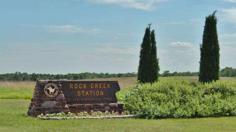
3. Rock Creek Station State Historical Park
The former Pony Express & Oregon Trail Rock Creek Station is located about 8 miles east of Jefferson County Courthouse, now inside the Rock Creek Station State Historical Park grounds.
Photographed by Cosmos Mariner, July 4, 2021
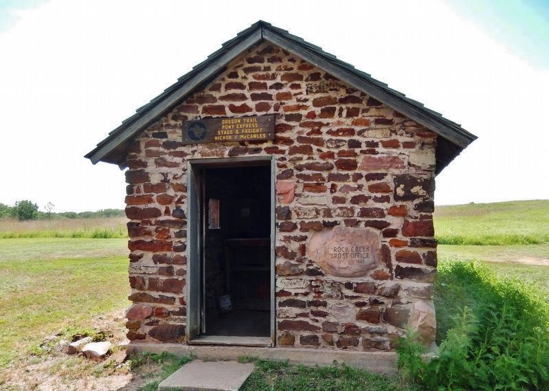
4. Rock Creek Station Post Office
Oregon Trail
Pony Express
Stage & Freight
Hickok/McCanles
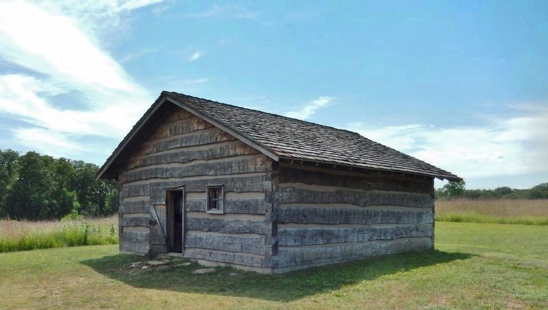
Photographed by Cosmos Mariner, July 4, 2021
5. Rock Creek Station House
Hickok shot and killed McCanles here.

Photographed by Cosmos Mariner, July 4, 2021
6. Rock Creek Station Pony Express Marker
Near here were the Rock Creek Crossing and Rock Creek Station where on July 12, 1861, Wild Bill Hickok shot and killed David McCanles and started a legend. This was an important area on the Oregon Trail and Pony Express.
Dwight D. Eisenhower – Chairman
Waddell F. Smith – President
Marvin F. Kivett – Vice President, Nebraska
Credits. This page was last revised on December 21, 2024. It was originally submitted on July 15, 2021, by Cosmos Mariner of Cape Canaveral, Florida. This page has been viewed 1,149 times since then and 114 times this year. Photos: 1, 2, 3, 4, 5, 6. submitted on July 15, 2021, by Cosmos Mariner of Cape Canaveral, Florida.
