Near Sturgis in Meade County, South Dakota — The American Midwest (Upper Plains)
Camp J.G. Sturgis
⎯⎯⎯
Scooptown
Photographed by William J. Toman, August 10, 2010
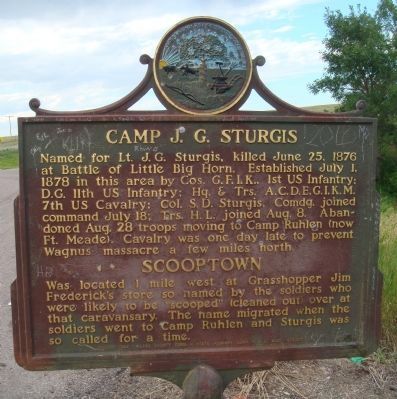
1. Camp J.G. Sturgis / Scooptown Marker
Camp J.G. Sturgis
Named for Lt. J.G. Sturgis, killed June 25, 1876 at Battle of Little Big Horn. Established July 1, 1878 in this area by Cos. G.F.I.K., 1st US Infantry; D.G. 11th US Infantry; Hq. & Trs. A.C.D.E.G.I.K.M. 7th US Cavalry; Col. S.D. Sturgis, Comdg. joined command July 18; Trs. H.L. joined Aug. 8. Abandoned Aug. 28 troops moving to Camp Ruhlen (now Ft. Meade). Cavalry was one day late to prevent Wagnus massacre a few miles north.
Scooptown
Was located 1 mile west at Grasshopper Jim Frederick's store so named by the soldiers who were likely to be "scooped" (cleaned out) over at that caravansary. The name migrated when the soldiers went to Camp Ruhlen and Sturgis was so called for a time.
Erected 1954 by the Meade County Comm., State Highway Comm., and S.D. Hist. Society. (Marker Number 33.)
Topics and series. This historical marker is listed in these topic lists: Indigenous Peoples and Communities • Settlements & Settlers • Wars, US Indian. In addition, it is included in the South Dakota State Historical Society Markers series list. A significant historical date for this entry is June 25, 1779.
Location. 44° 29.319′ N,
this page online

Regionally, this marker is in West River and in Greater Rapid City. It is also in the American Lewis & Clark Corridor, on the prairies, and on the Northern Plains. Globally, it is in North America, the Western Hemisphere, the Western World, and the Anglosphere. Historically, it finds itself in what was once Rupert’s Land and also the Louisiana Purchase.
Other nearby markers. At least 8 other markers are within 3 miles of this marker, measured as the crow flies: Dr. F. V. Hayden (approx. 2 miles away); Bear Butte (approx. 2 miles away); Sacred Mountain of the Plains Indians (approx. 2 miles away); a different marker also named Bear Butte (approx. 2 miles away); Thomas E. Odell (approx. 2 miles away); Capt. William F. Raynolds (approx. 2 miles away); Lakota Holy Man, Visionary, Ambassador, Healer and Storyteller
Photographed by William J. Toman, August 10, 2010
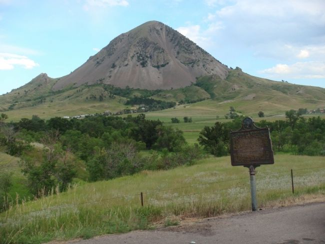
2. Camp J.G. Sturgis / Scooptown Marker
With Bear Butte in the background
Photographed by William J. Toman, August 7, 2010
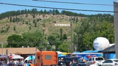
3. Sturgis Today (during Bike Week)
Credits. This page was last revised on July 16, 2021. It was originally submitted on August 12, 2010, by William J. Toman of Green Lake, Wisconsin. This page has been viewed 2,040 times since then and 61 times this year. Last updated on July 16, 2021. Photos: 1, 2. submitted on August 12, 2010, by William J. Toman of Green Lake, Wisconsin. 3. submitted on August 14, 2010, by William J. Toman of Green Lake, Wisconsin. • Mark Hilton was the editor who published this page.
