Near Chinook in Pacific County, Washington — The American West (Northwest)
A Collision of Cultures / How Did They Live?
Inscription.
A Collision of Cultures
First they came by sea and then by land - the Euro-American presence swelled through the region. The newcomers brought strange illnesses, like smallpox and malaria, and unwittingly spread plagues of death to the Chinook. Disease struck several times between 1801 and 1853, and the Chinook population on the lower Columbia plunged to fewer than 500. By then, the remaining Chinook had congregated in select communities, leaving overgrown land and abandoned villages. To many incoming Euro-Americans, the land seemed there for the taking. American population numbers mushroomed, soon toppling the balance of power between Great Britain and the United States.
1830s: Missionaries arrive in the Northwest, followed by homesteaders and land speculators. Although ravaged by disease, the remaining Chinook continued to live on the lower Columbia River.
1846: the American population grows rapidly. Great Britain cedes its claim to land south of the 49th parallel to the United States in the Oregon Treaty.
1848: The U.S. declares Oregon a territory. Washington Hall, an American, settles on Chinook land. They agree to his occupation, so long as he will allow them access to water. He reneges on this agreement and sells parcels of Chinook land.
1850: Although Indians have not ceded their land to the U.S. government, the Donation Land Claim Act passes, allowing the transfer of 320 acres each to a man and his wife.
1851: Several Chinook bands enter into treaties with federal Indian Agent Anson Dart at Tansy Point. They agree to cede land in exchange for payment and the right to live, fish. and hunt on their ancestral lands. The treaties are never ratified.
1853: Patrick J. McGowan purchases half of a former mission grant and settles on this site in 1857. McGowan establishes a salmon packing operation that later becomes a cannery.
How Did They Live?
In the 19th century, the Columbia River salmon run was one of the largest fish runs on the Pacific Coast. To take advantage of the tremendous resource, a large number of fishermen set up operations along the Columbia River.
1866: the first salmon cannery is established on the Columbia.
1883: the fishing and canning industries reach a peak, and 55 canneries are operating at the mouth of the river. Commercial fishers harvest 43 million pounds of Chinook salmon alone.
1896: the U.S. begins construction of Fort Columbia on the hillside west of Middle Village, thought to be the site of Chief Comcomly's village.
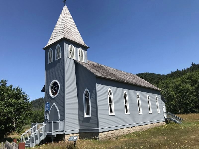
1904: Patrick McGowan has St. Mary's Catholic Church built.
1907-08: Oregon Railway and Navigation Company completes
a rail line from Megler through McGowan that connects Ilwaco with the Long Beach Peninsula. McGowan begins to expand operations to Ilwaco.
1920s: Auto ferry service between McGowan, Washington and Astoria, Oregon begins. In 1966, the Astoria-Megler Bridge opens.
1946-1961- The U.S. and the states move to terminate tribal sovereignty and put the tribes under the jurisdiction of states. Western Oregon Indians were one of the specific targets of this action. Almost all terminated tribes were later restored and the U.S. eventually acknowledged the injustice of this policy.
1990: the number of returning salmon falls from 16 million to 2.5 million per year.
Today: many people remain connected to this place through ancestral ties The Chinook Nation has approximately 2,500 people, many living near Willapa Bay. Descendants of the McGowan family continue to live here.
Captions (left to right):
Fishermen take salmon from a fish trap on the Columbia River. There were over 400 fish traps from Pillar Rock to Cape Disappointment in the late nineteenth century nearly all on the north shore of the Columbia River. University of Washington, Special Collections, UW 12665
A homesteading family stands in a field, ca. 1913. University of Washington, Special Collections, Barnes 1890
Fishermen working for the McGowan operation stand before a haul of fish. The men used horses to drag the seine nets. Pacific County Historical Society
The Chinook people celebrate the yearly return of the salmon with great ceremony and giving of thanks. Lisa Elliott
Topics. This historical marker is listed in these topic lists: Industry & Commerce • Native Americans • Settlements & Settlers • Waterways & Vessels. A significant historical year for this entry is 1801.
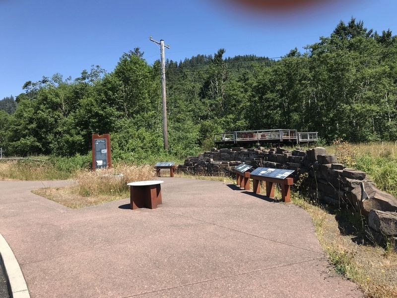
Location. 46° 14.831′ N, 123° 54.626′ W. Marker is near Chinook, Washington, in Pacific County. Marker can be reached from U.S. 101, 1.7 miles west of State Highway 401, on the right when traveling west. Marker is in the Middle Village/Station Camp Park wayside. Touch for map. Marker is at or near this postal address: 354 US-101, Chinook WA 98614, United States of America. Touch for directions.
Other nearby markers. At least 8 other markers are within walking distance of this marker. The Search for the Northwest Passage / Jefferson's Mission Accomplished (here, next to this marker); What Are the First Stories of This Place? (here, next to this marker); Welcome to Middle Village (a few steps from this marker); The Business of Trade (within shouting distance of this marker); How Do These Stories Continue? (within shouting distance of this marker); In Search of Recognition (within shouting distance of this marker); St. Mary's Church (within shouting distance of this marker); Fort Columbia (approx. 0.7 miles away). Touch for a list and map of all markers in Chinook.
Credits. This page was last revised on July 16, 2021. It was originally submitted on July 16, 2021, by Duane and Tracy Marsteller of Murfreesboro, Tennessee. This page has been viewed 175 times since then and 16 times this year. Photos: 1, 2, 3. submitted on July 16, 2021, by Duane and Tracy Marsteller of Murfreesboro, Tennessee.


