Near Durango in La Plata County, Colorado — The American Mountains (Southwest)
Baker's Bridge
Photographed by Paula Hilton Graham, June 21, 2022
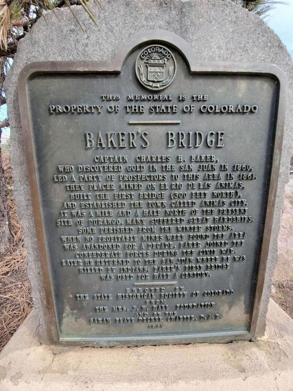
1. Baker's Bridge Marker
Captain Charles H. Baker, who discovered gold in the San Juan in 1860, led a party of prospectors to this area in 1861. They placer mined on El Rio de las Animas, built the first bridge (300 feet north), and established the town called Animas City. It was a mile and a half north of the present site of Durango. Many suffered great hardships. Some perished from the winter storms. When no profitable mines were found the area was abandoned for a decade. Baker joined the Confederate forces during the Civil War. Later he returned to the San Juan where he was killed by Indians. Baker's first bridge was used for half a century.
Erected 1961 by State Historical Society of Colorado, Mrs. J.N. Hall Foundation and Sarah Platt Decker Chapter, D.A.R.
Topics and series. This historical marker is listed in these topic lists: Bridges & Viaducts • Indigenous Peoples and Communities • War, US Civil • Wars, US Indian. In addition, it is included in the Daughters of the American Revolution (DAR) series list. A significant historical year for this entry is 1860.
Location. 37° 27.534′ N, 107° 47.971′ W. Marker is near Durango,
this page online

Regionally, this marker is in the American Mountain West and at the Four Corners. Globally, it is in North America, the Rocky Mountains, the Western Hemisphere, the Western World, and the Anglosphere. Historically, it finds itself in what was once the territory of the Ancestral Puebloans.
Other nearby markers. At least 8 other markers are within 13 miles of this marker, measured as the crow flies: Pinkerton Hot Springs (approx. 0.6 miles away); La Plata County Freedom Trees (approx. 12.2 miles away); Summer of Flames (approx. 12.2 miles away); Community of Heroes (approx. 12.2 miles away); Seasons of Healing (approx. 12.2 miles away); Fassbinder's Legacy (approx. 13 miles away); The Iron Horse (approx. 13 miles away); Main Avenue Bridge, circa 1908 (approx. 13 miles away). Touch for a list and map of
Photographed by James Hulse, July 6, 2021
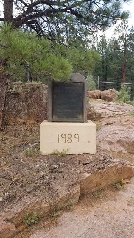
2. The Baker's Bridge Marker with concrete pedestal
Also see . . . Animas River.
Spanish explorer Juan Maria de Rivera of Santa Fe recorded the name "Rio de las Animas" (in English, River of Souls) in 1765. One theory is that the full name of the river was once "Rio de las Animas Perdidas" (River of Lost Souls) commemorating people who died in the river. A handful of commentators have suggested that the origin of this river's name is confused name with the Purgatoire River of southeastern Colorado. Source: Wikipedia(Submitted on July 17, 2021, by James Hulse of Medina, Texas.)
Photographed by James Hulse, July 6, 2021
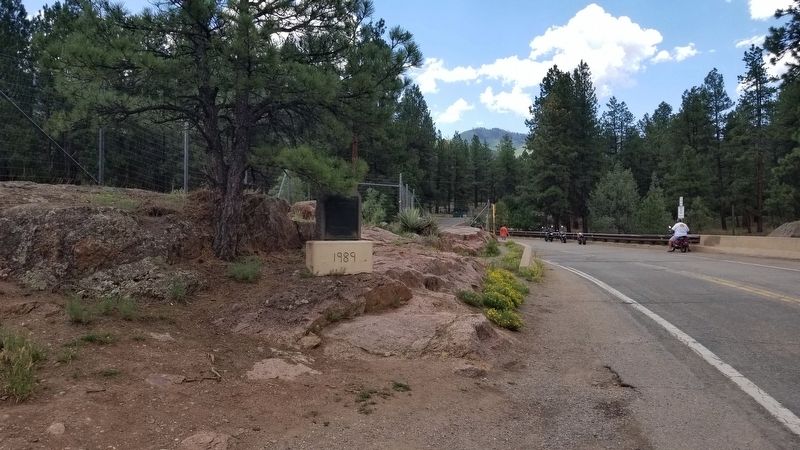
3. The Baker's Bridge Marker near the bridge
Photographed by James Hulse, July 6, 2021
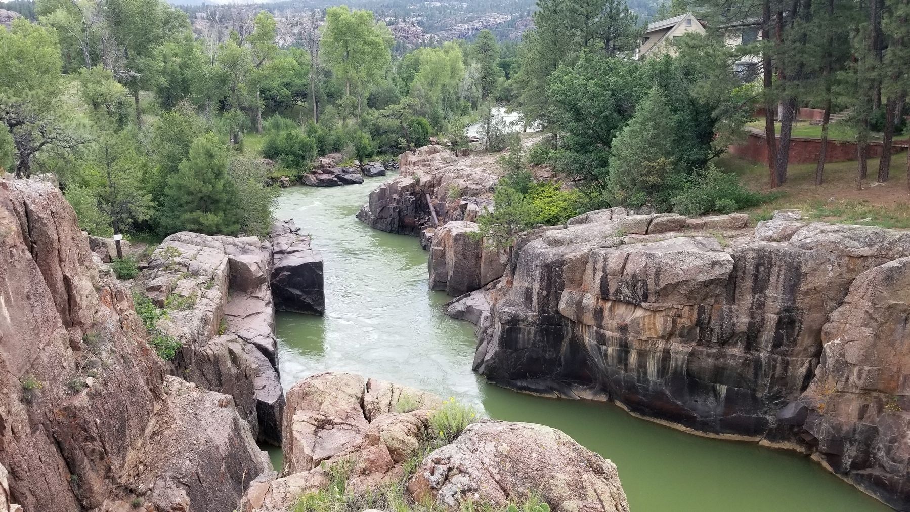
4. The Animas River looking to the north from the bridge
Credits. This page was last revised on February 18, 2026. It was originally submitted on July 17, 2021, by James Hulse of Medina, Texas. This page has been viewed 1,933 times since then and 186 times this year. Photos: 1. submitted on June 21, 2022, by Mark Hilton of Montgomery, Alabama. 2, 3, 4. submitted on July 17, 2021, by James Hulse of Medina, Texas.
