Frostburg in Allegany County, Maryland — The American Northeast (Mid-Atlantic)
Blazing Braddock's Road
Captain Robert Orme, June 15, 1755
British General Edward Braddock led a 2,100-man army through this wild country in 1755. The troops intended to dislodge the French from the “Forks of the Ohio” (Pittsburgh) almost 100 miles away. They were blazing a new trail, forever known as “Braddock’s Road.”
As they crossed this formidable mountain about a mile south of here, Braddock’s aide, Captain Robert Orme, recorded the difficulties. “Its descent is very rugged and almost perpendicular; in passing which we entirely demolished three wagons and shattered several.” After Orme listed the passage of 2100 soldiers, 30 wagons, 400 horses, siege artillery and tons of supplies, General Braddock took a young George Washington’s advice. He soon created a “flying column,” shedding most of the cumbersome equipment and moving more quickly to his objective.
(Sidebar): Retracing General Braddock’s Route
More than 150 years after Braddock’s march to a disastrous defeat, John Kennedy Lacock, a Harvard Professor, led an expedition to retrace the original route of Braddock’s Road. Here, Lacock and his colleagues rest near the summit of Big Savage Mountain. The old twelve-footwide road is clearly visible between them.
Erected by America's Byways.
Topics and series. This historical marker is listed in these topic lists: Roads & Vehicles • War, French and Indian. In addition, it is included in the Braddock’s Road and Maj. Gen. Edward Braddock, and the The Historic National Road series lists. A significant historical date for this entry is June 15, 1755.
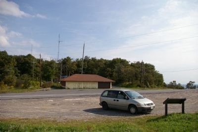
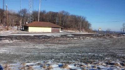
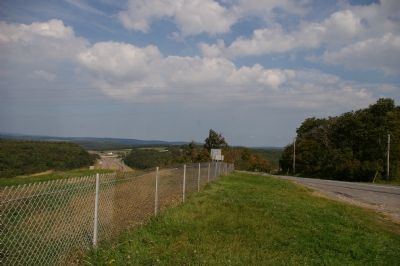
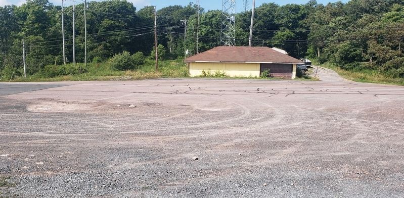
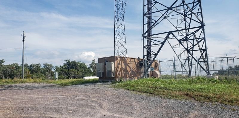
Location. Marker is missing. It was located near 39° 40.465′ N, 78° 57.739′ W. Marker was in Frostburg, Maryland, in Allegany County. Marker was on Historic National Road (Alternate U.S. 40), on the left when traveling west. Touch for map. Marker was in this post office area: Frostburg MD 21532, United States of America. Touch for directions.
Other nearby markers. At least 8 other markers are within 3 miles of this location, measured as the crow flies. Historic Braddock Road (approx. 0.7 miles away); Westminster Hall (approx. 2 miles away); Cumberland Hall (approx. 2.1 miles away); The Memorial Window (approx. 2.1 miles away); Frederick Hall (approx. 2.1 miles away); Frostburg (approx. 2.1 miles away); Chesapeake Hall (approx. 2.1 miles away); World War I Memorial (approx. 2.1 miles away). Touch for a list and map of all markers in Frostburg.
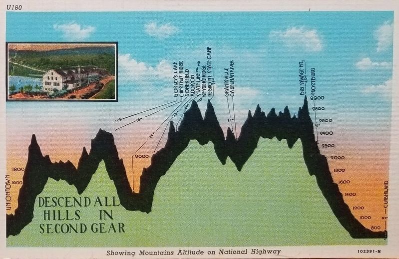
More about this marker. A postcard is reproduced in the lower left showing
"The Mountain Inn Hotel, later called Anton’s Big Savage Inn, served the National Highway travelers until it burned in the 1970s. Directly on top of the 2,850 foot summit, the Inn boasted the 'highest sleeping quarters on the National Highway east of the Mississippi.' Motorists on the mountain top were warned to “snub” not “drag” their brakes during the descent."
The sidebar contains an illustration of Lacock's group resting at Big Savage Mountain. The background of the marker is "National Road at Fairview Inn" which is the standard for markers in this series. An elevation diagram of the national road is displayed on the bottom of the marker's face.
Credits. This page was last revised on July 26, 2021. It was originally submitted on January 27, 2008, by Christopher Busta-Peck of Shaker Heights, Ohio. This page has been viewed 3,863 times since then and 63 times this year. Last updated on July 25, 2021, by Bradley Owen of Morgantown, West Virginia. Photos: 1. submitted on January 28, 2008. 2. submitted on January 27, 2008, by Christopher Busta-Peck of Shaker Heights, Ohio. 3. submitted on January 14, 2015, by F. Robby of Baltimore, Maryland. 4. submitted on January 27, 2008, by Christopher Busta-Peck of Shaker Heights, Ohio. 5. submitted on July 25, 2021, by Bradley Owen of Morgantown, West Virginia. 6, 7. submitted on May 29, 2020, by Bill Dwyer of Northridge, California. 8. submitted on July 25, 2021, by Bradley Owen of Morgantown, West Virginia. • Bill Pfingsten was the editor who published this page.
Editor’s want-list for this marker. A photo of this marker • Can you help?

