Near Benton in Polk County, Tennessee — The American South (East South Central)
Ocoee No. 1
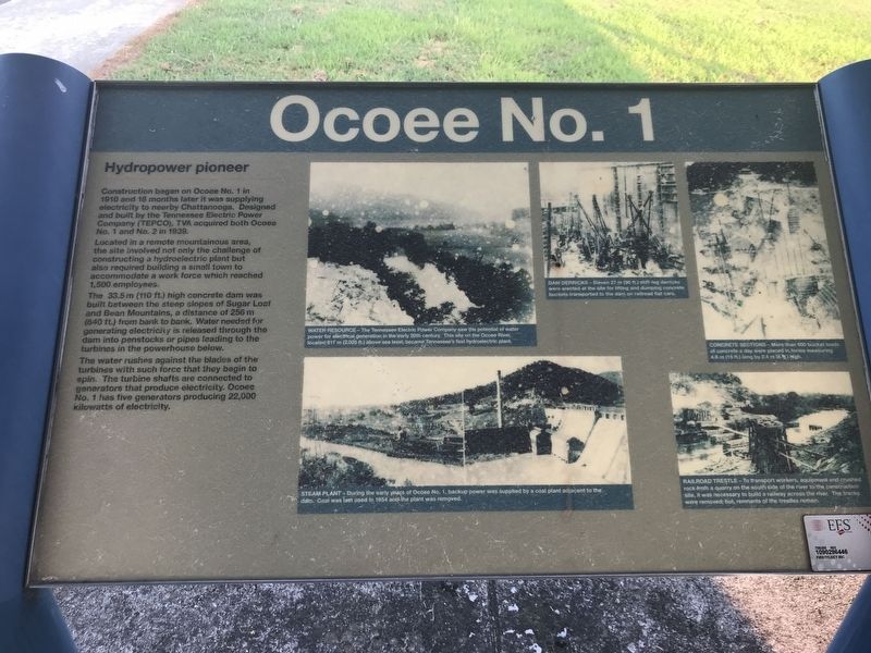
Hydroelectric pioneer
Located in a remote mountainous area, the site involved not only the challenge of constructing a hydroelectric plant but also required building a small town to accommodate a work force which reached 1,500 employees.
The 33.5 m (110 ft.) high concrete dam was built between the steep slopes of Sugar Loaf and Bean Mountains, a distance of 256 m (840 ft.) from bank to bank. Water needed for generating electricity is released through the dam into penstocks or pipes leading to the turbines in the powerhouse below.
The water rushes against the blades of the turbines with such force that they begin to spin. The turbine shafts are connected to generators that produce electricity. Ocoee No. 1 has five generators producing 22,000 kilowatts of electricity.
Captions (clockwise, from top left):
Water resource The Tennessee Electric Power Company saw the potential of water power for electrical generation in the early 20th century. This site on the Ocoee River, located 817 m (2,025 ft.) above sea level, became Tennessee's first hydroelectric plant.
Dam derricks Eleven 27 m (90 ft.) stiff-leg derricks were erected at the site for lifting and dumping concrete buckets transported to the dam on railroad flat cars.
Concrete sections More than 600 bucket loads of concrete a day were placed in forms measuring 4.6 m (15 ft.) long by 2.4 m (8 ft.) high.
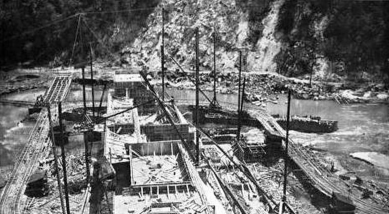
Railroad trestle To transport workers, equipment and crushed rock from a quarry on the south side of the river to the construction site, it was necessary to build a railway across the river. The tracks were removed; but remnants of the trestles remain.
Steam plant During the early years of Ocoee No. 1, backup power was supplied by a coal plant adjacent to the dam. Coal was last used in 1954 and the plant was removed.
Topics. This historical marker is listed in these topic lists: Man-Made Features • Waterways & Vessels. A significant historical year for this entry is 1910.
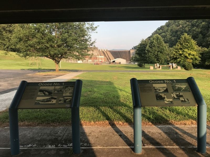
Location. 35° 5.8′ N, 84° 39.104′ W. Marker is near Benton, Tennessee, in Polk County. Marker can be reached from U.S. 64, on the right when traveling east. Marker is in Sugarloaf Mountain Park on the dam's southern side. Touch for map. Marker is at or near this postal address: 2144 US-64, Benton TN 37307, United States of America. Touch for directions.
Other nearby markers. At least 8 other markers are within 6 miles of this marker, measured as the crow flies. A different marker also named Ocoee No. 1 (here, next to this marker); Ocoee Dam #1 (about 300 feet away,
measured in a direct line); The Halfway House (approx. 4.6 miles away); Nancy Ward (approx. 4.9 miles away); a different marker also named Nancy Ward (approx. 4.9 miles away); Polk County World Wars Memorial (approx. 5.3 miles away); Polk County Veterans Monument (approx. 5.3 miles away); Polk County Confederate Monument (approx. 5.3 miles away). Touch for a list and map of all markers in Benton.
Credits. This page was last revised on July 26, 2021. It was originally submitted on July 26, 2021, by Duane and Tracy Marsteller of Murfreesboro, Tennessee. This page has been viewed 144 times since then and 19 times this year. Photos: 1, 2, 3. submitted on July 26, 2021, by Duane and Tracy Marsteller of Murfreesboro, Tennessee.


