Old Pleasant Hill in De Soto Parish, Louisiana — The American South (West South Central)
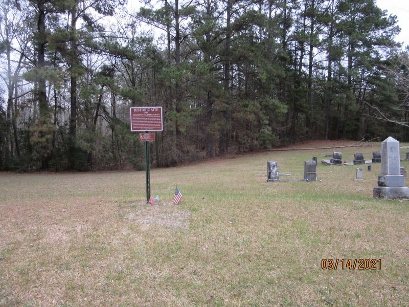
Unknown Soldiers' Grave
1865
— Historic Site —
Erected by Desoto Historical Society.
Topics. This historical marker is listed in these topic lists: Cemeteries & Burial Sites • War, US Civil. A significant historical year for this entry is 1865.
Location. 31° 51.356′ N, 93° 30.694′ W. Marker is in Old Pleasant Hill, Louisiana, in De Soto Parish. Marker is on Parish Road 1068 north of State Route 175, on the right when traveling north. Located inside of the Old Pleasant Hill Cemetery. Touch for map. Marker is in this post office area: Pelican LA 71063, United States of America. Touch for directions.
Other nearby markers. At least 8 other markers are within walking distance of this marker. Old Pleasant Hill Cemetery (within shouting distance of this marker); Stage Coach Station (about 500 feet away, measured in a direct line); Confederate Soldiers Monument (approx. 0.2 miles away); Welcome to Old Pleasant Hill (approx. 0.2 miles away); Dr. and Mrs. C.E. "Gene" Poimboeuf (approx. 0.2 miles away); War for Southern Independence (approx. 0.2 miles away); Pleasant Hill Battlefield (approx. 0.2 miles away); Account of the Battle of Pleasant Hill (approx. 0.2 miles away). Touch for a list and map of all markers in Old Pleasant Hill.
Credits. This page was last revised on July 27, 2021. It was originally submitted on July 27, 2021, by Jason Armstrong of Talihina, Oklahoma. This page has been viewed 163 times since then and 9 times this year. Photos: 1, 2. submitted on July 27, 2021, by Jason Armstrong of Talihina, Oklahoma. • Mark Hilton was the editor who published this page.

