South Nashville in Davidson County, Tennessee — The American South (East South Central)
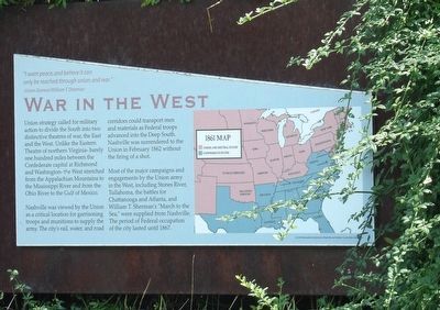
War in the West
"I want peace, and believe it can only be reached through union and war." — Union General William T. Sherman
Union strategy called for military action to divide the South into two distinctive theatres of war, the East and the West. Unlike the Eastern Theatre of northern Virginia — barely one hundred miles between the Confederate capital at Richmond and Washington — the West stretched from the Appalachian Mountains to the Mississippi River and from the Ohio River to the Gulf of Mexico.
Nashville was viewed by the Union as a critical location for garrisoning troops and munitions to supply the army. The city's rail, water, and road corridors could transport men and materials as Federal troops advanced into the Deep South. Nashville was surrendered to the Union in February 1862 without the firing of a shot.
Most of the major campaigns and engagements by the Union army in the West, including Stones River, Tullahoma, the battles for Chattanooga and Atlanta, and William T. Sherman's "March to the Sea,” were supplied from Nashville. The period of Federal occupation of the city lasted until 1867.
Erected 2004 by Metropolitan Government of Nashville and Davidson County Parks & Recreation.
Topics. This historical marker is listed in these topic lists: Railroads & Streetcars • Roads & Vehicles • War, US Civil • Waterways & Vessels. A significant historical month for this entry is February 1862.
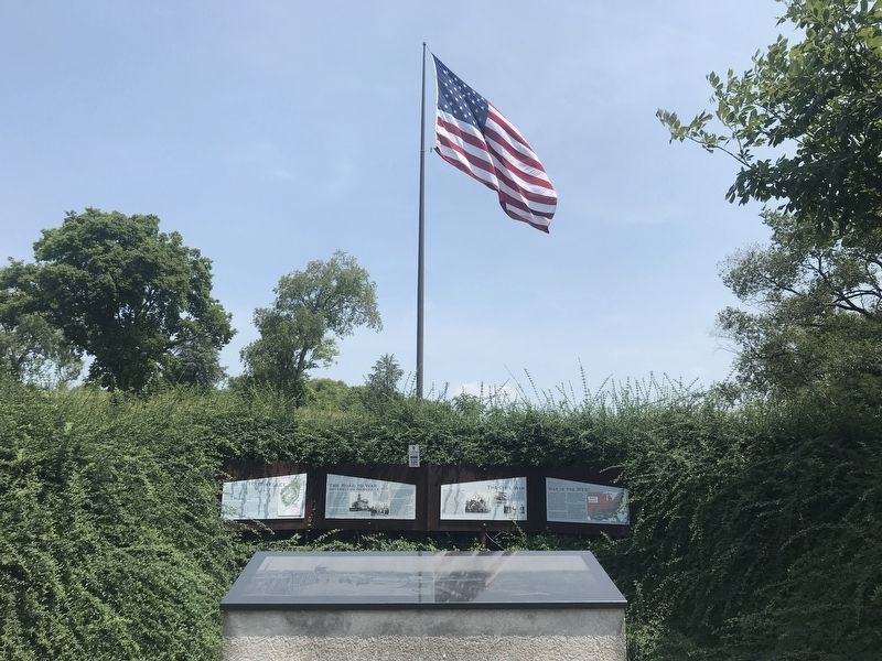
Location. 36° 8.603′ N, 86° 46.524′ W. Marker is in Nashville, Tennessee, in Davidson County. It is in South Nashville. Marker can be reached from Fort Negley Boulevard north of Chestnut Street, on the right when traveling north. Marker is on a wall behind the entrance arch to Fort Negley Park. Touch for map. Marker is at or near this postal address: 1100 Fort Negley Boulevard, Nashville TN 37203, United States of America. Touch for directions.
Other nearby markers. At least 8 other markers are within walking distance of this marker. The Civil War (here, next to this marker); Fort Negley (here, next to this marker); The Road to War (here, next to this marker); War in the West: Battles and Campaigns (within shouting distance of this marker); Fort Negley Site (within shouting distance of this marker); a different marker also named Fort Negley (within shouting distance of this marker); Nashville Surrendered (about 300 feet away, measured in a direct line); Peach Orchard Hill (about 600 feet away). Touch for a list and map of all markers in Nashville.
Credits. This page was last revised on February 7, 2023. It was originally submitted on July 31, 2021, by Duane and Tracy Marsteller of Murfreesboro, Tennessee. This page has been viewed 75 times since then and 9 times this year. Photos: 1, 2. submitted on July 31, 2021, by Duane and Tracy Marsteller of Murfreesboro, Tennessee.

