Belhaven in Jackson in Hinds County, Mississippi — The American South (East South Central)
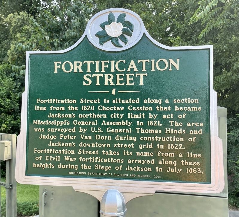
Fortification Street
Erected 2018 by Mississippi Department of Archives and History.
Topics and series. This historical marker is listed in these topic lists: Native Americans • War, US Civil. In addition, it is included in the Mississippi State Historical Marker Program series list. A significant historical month for this entry is July 1863.
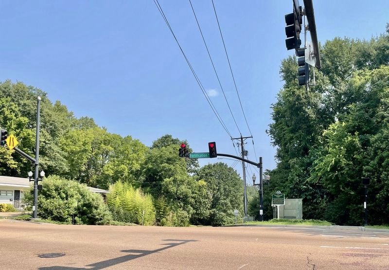
Location. 32° 18.73′ N, 90° 10.064′ W. Marker is in Jackson, Mississippi, in Hinds County. It is in Belhaven. Marker is at the intersection of Graymont Street and East Fortification Street, on the right when traveling north on Graymont Street. Touch for map. Marker is at or near this postal address: 1400 East Fortification Street, Jackson MS 39202, United States of America. Touch for directions.
Other nearby markers. At least 8 other markers are within walking distance of this marker. Belhaven Historic District (about 400 feet away, measured in a direct line); Moody's Branch Formation (approx. 0.2 miles away); Charge of the 2nd Michigan (approx. ¼ mile away); Kennington's Mansion (approx. 0.3 miles away); Eudora Welty House (approx. 0.4 miles away); Shady Nook (approx. 0.4 miles away); a different marker also named Eudora Welty House (approx. 0.4 miles away); Eudora Welty (approx. 0.4 miles away). Touch for a list and map of all markers in Jackson.
Regarding Fortification Street. On May 13, 1863, Union forces won the first Battle of Jackson, forcing Confederate forces to flee northward towards Canton. The Union forces then went west to begin the siege of Vicksburg. Confederate forces began to reassemble in Jackson in preparation for an attempt to break through the Union lines surrounding Vicksburg and end the siege there. The Confederate forces in Jackson built defensive fortifications encircling the city while preparing to march west to Vicksburg.
Confederate forces marched out of Jackson to break the siege of Vicksburg in early July 1863. However, unknown to them, Vicksburg had already surrendered on July 4, 1863. General Ulysses S. Grant dispatched General Sherman
to meet the Confederate forces heading west from Jackson. Upon learning that Vicksburg had already surrendered, the Confederates retreated back into Jackson, thus beginning the Siege of Jackson, which lasted for approximately one week.
On July 16, 1863, Confederate forces slipped out of Jackson during the night and retreated across the Pearl River. Union forces completely burned the city after its capture this second time, and the city earned the nickname “Chimneyville” because only the chimneys of houses were left standing. The northern line of Confederate defenses in Jackson during the siege was located along a road near downtown Jackson, now known as Fortification Street. Source: Blog by Dr. Roger Parrot in 2008.
Credits. This page was last revised on February 16, 2023. It was originally submitted on August 1, 2021, by Mark Hilton of Montgomery, Alabama. This page has been viewed 792 times since then and 127 times this year. Photos: 1, 2. submitted on August 1, 2021, by Mark Hilton of Montgomery, Alabama.

