
South Nashville in Davidson County, Tennessee — The American South (East South Central)
Decline and Restoration of Fort Negley

Photographed by Duane and Tracy Marsteller, July 31, 2021
1. Decline and Restoration of Fort Negley Marker
"The WPA reconstruction of Fort Negley closely follows the ground plan of the original." — Archaeological Assessment, Panamerican Consultants 1994Renamed near the end of the war in honor of Union Brigadier General Charles Harker who was killed at Kennesaw Mountain (GA), the fort was occupied by Federal troops till 1867. Military redistricting in the remaining Confederate states began in 1867 as part of the federal government's Congressional Reconstruction plan. Tennessee rejoined the Union in 1866, avoiding many of the excesses of Reconstruction. Nashvillians, however, continued to remember the fort named for Brigadier General James Negley.
The contraband camp at the base of St. Cloud Hill lingered after the war for refugees, eventually becoming the foundation for Edgehill's African American community. In 1867, Ku Klux Klan activity at the site began, but use of Fort Negley as a meeting place for the clan was quelled by government pressure on the organization. They disbanded in late 1867. The Fort deteriorated in the years that followed and in 1928, St. Cloud Hill was purchased by the city of Nashville amid proposals
this page online
In 1936 the Work's Progress Administration (WPA) recreated part of Fort Negley — the dry-stack limestone walls you see today at the site — and built the stone entrance gates. The wooden stockade was also rebuilt, and a small museum was added in the north main works underground magazine. Eight hundred men worked on the project at a cost of $84,000. The fort remained open until 1945 when the deteriorated stockade was removed and the site was closed to the public.
Archaeological investigation has found that the stonework completed by the WPA was constructed on top of the original limestone foundation from the Civil War. Parts of Fort Negley remain protected underground. Further archaeological study may reveal new clues to the site's historic past.Captions (top to bottom)
• Squatter camp on the southern face of St. Cloud Hill, near the end of, or after, the war.
• Painting of Nashville from Fort Negley Ruins (c.1880).
• WPA workers reconstructing the limestone walls.
Erected 2004 by Metropolitan Government of Nashville and Davidson County Parks & Recreation.
Topics and series. This historical
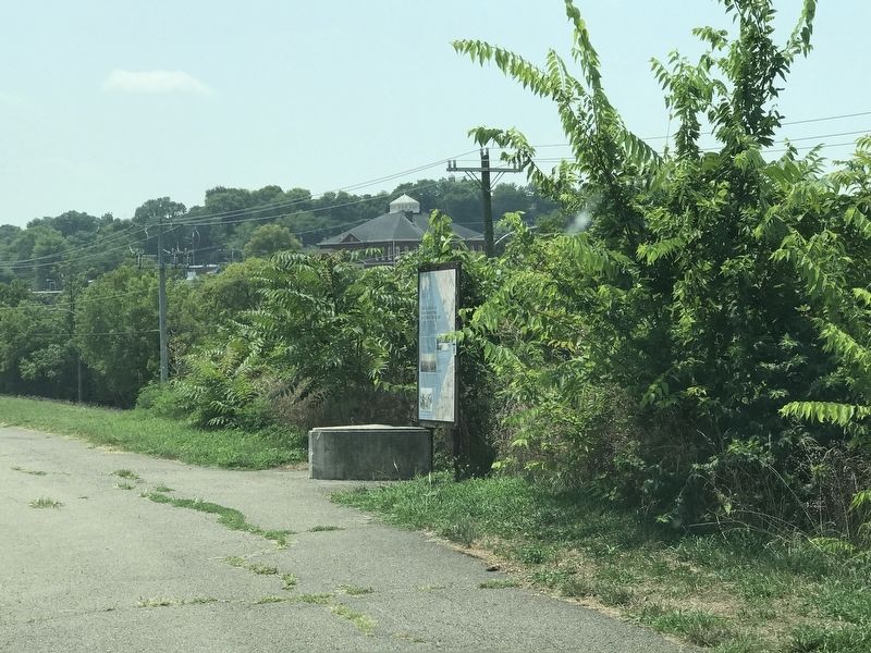
Photographed by Duane and Tracy Marsteller, July 31, 2021
2. Decline and Restoration of Fort Negley Marker
Location. 36° 8.692′ N, 86° 46.569′ W. Marker is in Nashville, Tennessee, in Davidson County. It is in South Nashville. It can be reached from Fort Negley Boulevard north of Chestnut Street, on the right when traveling north. Marker is on the east side of the fort, along the pedestrian trail that circles the site. Touch for map. Marker is at or near this postal address: 1100 Fort Negley Boulevard, Nashville TN 37203, United States of America. Touch for directions.

Regionally, this marker is in Middle Tennessee. It is also in the American South and specifically in the Upper South. Globally, it is in North America, the Western Hemisphere, the Western World, and the Anglosphere. Historically, it finds itself in what was once the territory of the Mississippian Culture, one of the Confederate States of America, and the Antebellum South.
Other nearby markers. At least 8 other markers are within walking distance of this marker: Nashville Blacks in the Civil War (within shouting distance of this marker); The Battle of Nashville (about 300 feet away, measured in a direct line); Peach Orchard Hill (about 400 feet away); Fortress Nashville / Forts (about 400 feet away); Sally Port (about 400 feet away); Fort Design (about 500 feet away); The Road to War (about 600 feet away); Fort Negley (about 600 feet away). Touch for a list and map of all markers in Nashville.
Regarding Decline and Restoration of Fort Negley. The city restored the site and reopened it to the public in December 2004.
Credits. This page was last revised on February 7, 2023. It was originally submitted on August 1, 2021, by Duane and Tracy Marsteller of Murfreesboro, Tennessee. This page has been viewed 330 times since then and 40 times this year. Photos: 1, 2. submitted on August 1, 2021, by Duane and Tracy Marsteller of Murfreesboro, Tennessee.
