Marker Logo
THE HISTORICAL
MARKER DATABASE
“Bite-Size Bits of Local, National, and Global History”
Oronoco in Olmsted County, Minnesota — The American Midwest (Upper Plains)
 

Oronoco Gold Rush
 
 
Oronoco Gold Rush Marker image. Click for full size.
July 28, 2021
1. Oronoco Gold Rush Marker
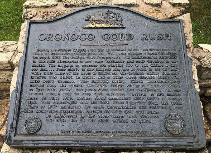
Inscription. During the summer of 1858 gold was discovered in the bed of the Zumbro River at Rochester and near Oronoco. The news created a local sensation. On July 1, 1858, the Rochester Democrat reported: "The excitement in reference to the gold discoveries in and near Rochester and near Oronoco is unabated. The diggings at Oronoco are yielding two to six dollars a day, per man. . . . Some ninety to one hundred men are at work in the diggins." While little came of the boom in Rochester, the Oronoco Mining Company invested over $1,000 in sluices and a water wheel erected about five miles below Oronoco. The following spring, floods unceremoniously carried away the miners' handiwork. Driven on by a frenzied desire to "get rich quick," the prospectors rebuilt the installations and extracted enough gold to keep their appetites whetted. A few months later, in July, 1859, another flood demolished their works a second time. This catastrophe and the hard times lingering from the great panic of 1857 exhausted the men's determination and resources, and the boom died overnight. Perhaps someday gold will again be discovered in the river here,
Paid Advertisement
Click or scan to see
this page online
and Oronoco will relive its all too short moment of glory.
 
Erected 1988 by the Olmsted County Park and Recreation Commission.
 
Topics. This historical marker is listed in these topic lists: EnvironmentIndustry & CommerceWaterways & Vessels. A significant historical date for this entry is July 1, 1858.
 
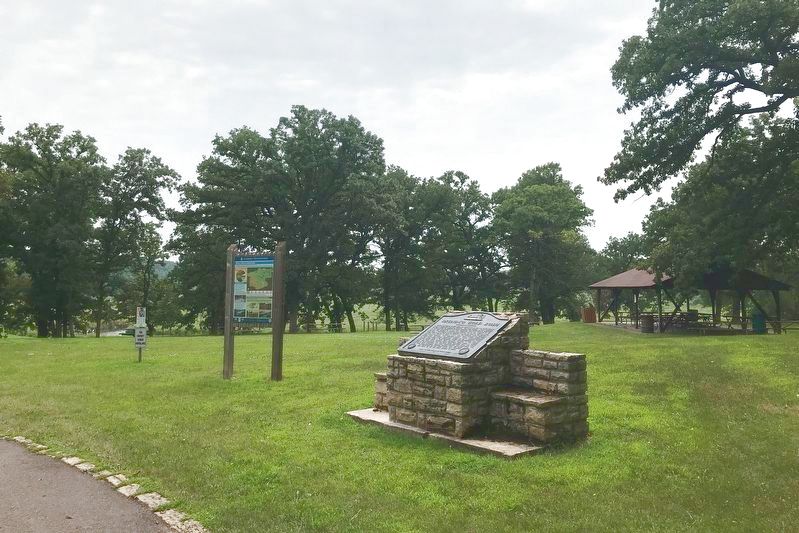
Location. 44° 10.057′ N, 92° 32.387′ W. Marker is in Oronoco, Minnesota, in Olmsted County. It is on 3rd Avenue Northwest 0.2 miles west of County Road 18. Located in Oronoco Park in Oronoco. Touch for map. Marker is at or near this postal address: 310 5th St NW, Oronoco MN 55960, United States of America. Touch for directions.

Regionally, this marker is in Southeast Minnesota and in Greater Rochester. It is also in the American Midwest and in the Corn Belt. Globally, it is in North America, the Western Hemisphere, the Western World, and the Anglosphere. Historically, it finds itself in what was once Rupert’s Land and also the territory of the Mississippian Culture.

Other nearby markers. At least 8 other markers are within 11 miles of this marker, measured as the crow flies: Last Alarm (approx. 10 miles away); Zumbrota
Oronoco Gold Rush Marker in Oronoco Park image. Click for full size.
July 28, 2021
2. Oronoco Gold Rush Marker in Oronoco Park
(approx. 10.2 miles away); Geology of Minnesota (approx. 10.2 miles away); Flooding in Rochester (approx. 10.3 miles away); History of Silver Lake (approx. 10.3 miles away); The Heritage House (approx. 10½ miles away); The Avalon Building (approx. 10½ miles away); Central Park Plaza (approx. 10½ miles away).
 
 
Credits. This page was last revised on August 2, 2021. It was originally submitted on August 1, 2021. This page has been viewed 2,050 times since then and 119 times this year. Photos:   1, 2. submitted on August 1, 2021. • Mark Hilton was the editor who published this page.

m=178512

CeraNet Cloud Computing sponsors the Historical Marker Database.
This website earns income from purchases you make after using our links to Amazon.com. We appreciate your support.
Paid Advertisement
Jul. 6, 2026