
Columbus in Colorado County, Texas — The American South (West South Central)
Exum Philip Whitfield
(April 22, 1818 - September 17, 1887)

Photographed by James Hulse, August 1, 2021
1. Exum Philip Whitfield Marker
Columbus business leader, merchant, physician, farmer, 1858-87. President, 1861-66, Columbus Tap Railway. Served two Confederate enlistments during the Civil War, 1860s.
Married (1st) m. Manerva Thompson (d. 1853); (2nd) Sara Jane Palmer. Had 12 children.
Recorded - 1973
Erected 1973 by State Historical Survey Committee. (Marker Number 5789.)
Topics. This historical marker is listed in these topic lists: Cemeteries & Burial Sites • Railroads & Streetcars • War, US Civil. A significant historical year for this entry is 1973.
Location. 29° 42.29′ N, 96° 33.061′ W. Marker is in Columbus, Texas, in Colorado County. It can be reached from the intersection of Veterans Drive and Walnut Street (U.S. 90). The marker is located in the northeast section of the City Cemetery in a fenced plot. Touch for map. Marker is in this post office area: Columbus TX 78934, United States of America. Touch for directions.

Regionally, this marker is in the American South and on the Gulf Coast. Globally, it is in North America, a Gulf of Mexico state, the Western Hemisphere, the Western World, and the Anglosphere. Historically,
this page online
Other nearby markers. At least 8 other markers are within walking distance of this marker: Columbus' Old City Cemetery (about 500 feet away, measured in a direct line); Columbus Oak (about 600 feet away); American Legion Memorial (about 700 feet away); Walk of Honor (about 700 feet away); Carriage Step on Prairie Street (approx. 0.4 miles away); George Glenn (approx. 0.4 miles away); Ben Marshall Baker (approx. 0.4 miles away); Bartels-Wirtz House (approx. half a mile away). Touch for a list and map of all markers in Columbus.
Also see . . . Columbus Tap Railway.
The Columbus Tap Railway Company was chartered on February 2, 1860. The Buffalo Bayou, Brazos and Colorado, the first railroad built in Texas, had mapped its route from Harrisburg through Alleyton to Austin up the east side of the Colorado River, bypassing Columbus. The citizens of Columbus, to protect their trade area, decided to build their own railroad to connect with the BBB&C at Alleyton. Source: The Handbook of Texas
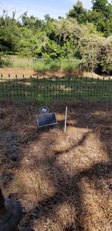
Photographed by James Hulse, August 1, 2021
2. Exum Philip Whitfield Grave and Marker
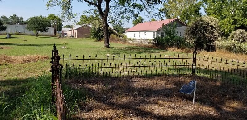
Photographed by James Hulse, August 1, 2021
3. The view of the Exum Philip Whitfield Marker in the cemetery

Photographed by James Hulse, August 1, 2021
4. The Exum Philip Whitfield Marker can be seen behind the tree on the right
Credits. This page was last revised on August 6, 2021. It was originally submitted on August 6, 2021, by James Hulse of Medina, Texas. This page has been viewed 349 times since then and 31 times this year. Photos: 1, 2, 3, 4. submitted on August 6, 2021, by James Hulse of Medina, Texas.
