Shiner in Lavaca County, Texas — The American South (West South Central)
Welhausen Park Bandstand
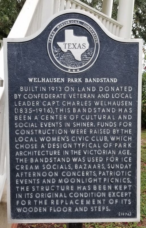
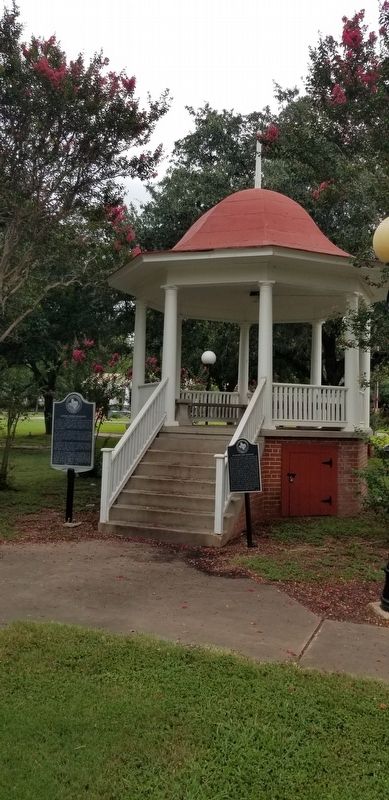
Built in 1913 on land donated by Confederate veteran and local leader Capt. Charles Welhausen (1835-1916), this bandstand has been a center of cultural and social events in Shiner. Funds for construction were raised by the local Women's Civic Club, which chose a design typical of park architecture in the Victorian age. The bandstand was used for ice cream socials, bazaars, Sunday afternoon concerts, patriotic events and moonlight picnics. The structure has been kept in its original condition except for the replacement of its wooden floor and steps.
Erected 1976 by Texas Historical Commission. (Marker Number 5749.)
Topics. This historical marker is listed in these topic lists: Arts, Letters, Music • Entertainment • Parks & Recreational Areas • Women. A significant historical year for this entry is 1913.
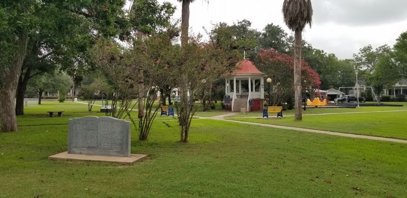
Location. 29° 25.94′ N, 97° 10.413′ W. Marker is in Shiner, Texas, in Lavaca County. Marker can be reached from the intersection of Avenue E (Alternate U.S. 90) and East 9th Street. The marker is located at the center of Welhausen Park. Touch for map. Marker is in this post office area: Shiner TX 77984, United States of America. Touch for directions.
Other nearby markers. At least 8 other markers are within walking distance of this marker. Captain Charles Welhausen (here, next to this marker); Shiner, Texas (within shouting distance of this marker); Scrap Iron Drive (about 400 feet away, measured in a direct line); a different marker also named Shiner (about 500 feet away); Shiner Opera House (approx. 0.2 miles away); First National Bank of Shiner (approx. 0.2 miles away); United Evangelical Lutheran Dr. Martin Luther Church (approx. 0.2 miles away); Masonic Lodge Building (approx. ¼ mile away). Touch for a list and map of all markers in Shiner.
Also see . . . Bandstand.
A bandstand (sometimes music kiosk) is a circular, semicircular or polygonal structure set in a park, garden, pier, or indoor space, designed to accommodate musical bands performing concerts. A simple construction, it both creates an ornamental focal point and also serves acoustic requirements while providing shelter for the changeable weather, if outdoors. In form bandstands resemble ornamental European garden gazebos modeled on outdoor open–sided pavilions found in Asian countries from early times. Source: Wikipedia(Submitted on August 11, 2021, by James Hulse of Medina, Texas.)
Credits. This page was last revised on August 11, 2021. It was originally submitted on August 11, 2021, by James Hulse of Medina, Texas. This page has been viewed 142 times since then and 8 times this year. Photos: 1, 2, 3. submitted on August 11, 2021, by James Hulse of Medina, Texas.


