Port Townsend in Jefferson County, Washington — The American West (Northwest)
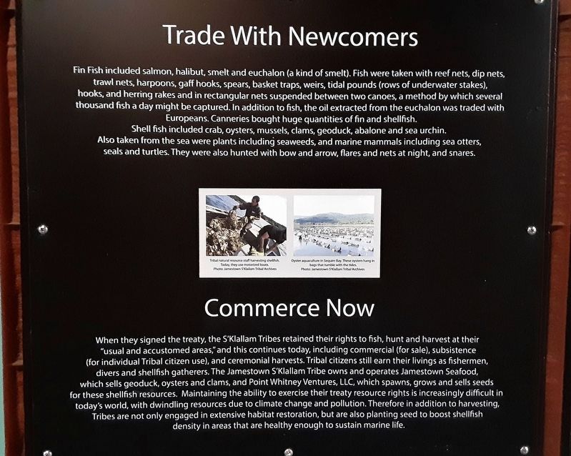
Trade With Newcomers
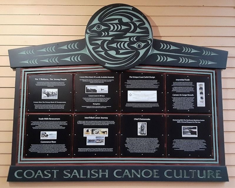
Coast Salish Canoe Culture
Shell fish included crab, oysters, mussels, clams, geoduck, abalone and sea urchin. Also taken from the sea were plants including seaweeds, and marine mammals including sea otters, seals and turtles. They were also hunted with bow and arrow, flares and nets at night, and snares.
Commerce Now
When they signed the treaty [of Point Elliott], the S'Klallam Tribes retained their rights to fish, hunt and harvest at their "usual and accustomed areas," and this continues today, including commercial (for sale), subsistence (for individual Tribal citizen use), and ceremonial harvests. Tribal citizens still earn their living as fishermen, divers and shellfish gatherers. The Jamestown S'Klallam Tribe owns and operates Jamestown Seafood, which sells geoduck, oysters and clams, and Point Whitney Ventures, LLC, which spawns, grows and sells seeds for these shellfish resources. Maintaining the ability to exercise their treaty resource rights is increasingly difficult in today's world, with dwindling resources due to climate change and pollution. Therefore in addition to harvesting, Tribes are not only engaged in extensive habitat restoration, but are also planting seed to boost shellfish density in areas that are healthy enough to sustain maritime life.
• Tribal natural resource staff harvesting shellfish. Today, they use motorized boats.
• Oyster aquaculture in Sequim Bay. These oysters hand in bags that tumble with the tides.
Erected by Jamestown S'Klallam Tribe and Northwest Maritime Center.
Topics. This historical marker is listed in these topic lists: Industry & Commerce • Native Americans • Waterways & Vessels.
Location. 48° 6.967′ N, 122° 45.115′ W. Marker is in Port Townsend, Washington, in Jefferson County. Marker is on Water Street east of Monroe Street, on the right when traveling east. Marker is in the passageway at the Northwest Maritime Center. Touch for map. Marker is at or near this postal address: 431 Water Street, Port Townsend WA 98368, United States of America. Touch for directions.
Other nearby markers. At least 8 other markers are within walking distance of this marker. The S'Klallams, The Strong People (here, next to this marker); Canoes Were Made Of Locally Available Materials (here, next to this marker); The Unique Coast Salish Design (here, next to this marker); Intertribal Trade (here, next to this marker); InterTribal Canoe Journey (here, next to this marker); Chief Chetzemoka (here, next to this marker); Partnering With The Northwest Maritime Center With A Shared Respect For The Sea (here, next to this marker); Honoring Eleanor Stopps (a few steps from this marker). Touch for a list and map of all markers in Port Townsend.
Also see . . .
1. Indians and Europeans on the Northwest Coast: Historical Context. (Submitted on August 13, 2021, by William Fischer, Jr. of Scranton, Pennsylvania.)
2. Land-Based Treaty Rights (Tulalip Tribes). (Submitted on August 13, 2021, by William Fischer, Jr. of Scranton, Pennsylvania.)
Credits. This page was last revised on August 14, 2021. It was originally submitted on August 13, 2021, by William Fischer, Jr. of Scranton, Pennsylvania. This page has been viewed 98 times since then and 4 times this year. Photos: 1, 2, 3. submitted on August 13, 2021, by William Fischer, Jr. of Scranton, Pennsylvania.


