
Port Townsend in Jefferson County, Washington — The American West (Northwest)
InterTribal Canoe Journey
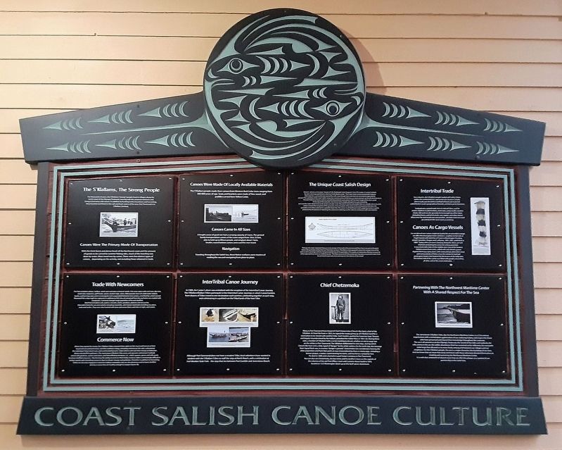
Coast Salish Canoe Culture
Photographed by William Fischer, Jr., August 1, 2021
1. InterTribal Canoe Journey Marker
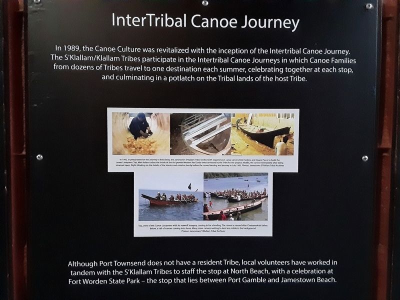
Although Port Townsend does not have a resident Tribe, local volunteers have worked in tandem with the S'Klallam Tribes to staff the stop at North Beach, with a celebration at Fort Worden State Park - the stop that lies between Port Gamble and Jamestown Beach.
• In 1992, in preparation for the journey to Bella Bella, the Jamestown S'Klallam Tribe worked with experienced canoe carvers Bob Hoskins and Duane Pasco to build the canoe Laxaynem. Top, Matt Adams adzes the inside of an old growth Western Red Cedar tree harvested by the Tribe for the project. Middle, the canoe immediately after being steamed open. Right, Working on the details of the interior and exterior shortly before the canoe blessing and journey in July 1993.
this page online
Erected by Northwest Maritime Center.
Topics. This historical marker is listed in these topic lists: Indigenous Peoples and Communities • Waterways & Vessels. A significant historical month for this entry is July 1993.
Location. 48° 6.967′ N, 122° 45.115′ W. Marker is in Port Townsend, Washington, in Jefferson County. It is on Water Street east of Monroe Street, on the right when traveling east. Marker is in the passageway at the Northwest Maritime Center. Touch for map. Marker is at or near this postal address: 431 Water Street, Port Townsend WA 98368, United States of America. Touch for directions.

Regionally, this marker is in Washington’s Olympic Peninsula. It is also on the American Pacific Coast, in the Pacific Northwest, and in the Lewis & Clark Corridor. Globally, it is in North America, the Pacific Rim, the Western Hemisphere, the Western World, and the Anglosphere.
Other nearby markers. At
Photographed by William Fischer, Jr., August 1, 2021
2. Coast Salish Canoe Culture Markers
Also see . . .
1. Coast Salish Canoe Construction. (Submitted on August 13, 2021, by William Fischer, Jr. of Reynoldsburg, Ohio.)
2. Tribal Canoe Journeys 1989-present Revitalizing Our Canoe Culture. (Submitted on August 13, 2021, by William Fischer, Jr. of Reynoldsburg, Ohio.)
3. Port Gamble S'Klallam Tribe History. (Submitted on August 13, 2021, by William Fischer, Jr. of Reynoldsburg, Ohio.)
Photographed by William Fischer, Jr., August 1, 2021
3. Coast Salish Canoe Culture Markers
Credits. This page was last revised on August 13, 2021. It was originally submitted on August 13, 2021, by William Fischer, Jr. of Reynoldsburg, Ohio. This page has been viewed 339 times since then and 12 times this year. Photos: 1, 2, 3. submitted on August 13, 2021, by William Fischer, Jr. of Reynoldsburg, Ohio.
