Donaldson in Trigg County, Kentucky — The American South (East South Central)
Donaldson

Photographed by Duane and Tracy Marsteller, August 14, 2021
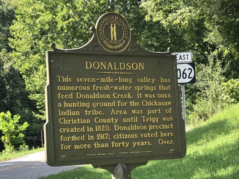
1. Donaldson Marker (side A)
This seven-mile-long valley has numerous fresh-water springs that feed Donaldson Creek. It was once a hunting ground for the Chickasaw Indian tribe. Area was part of Christian County until Trigg was created in 1820. Donaldson precinct formed in 1917; citizens voted here for more than forty years.
Erected 1991 by Kentucky Historical Society • Kentucky Department of Highways. (Marker Number 1892.)
Topics and series. This historical marker is listed in these topic lists: Communications • Indigenous Peoples and Communities • Settlements & Settlers • Waterways & Vessels. In addition, it is included in the Kentucky Historical Society series list. A significant historical year for this entry is 1798.
Location. 36° 45.066′ N, 87° 53.659′ W. Marker is in Donaldson, Kentucky,
this page online

Regionally, this marker is in the American Midwest, in the South, and specifically in the Upper South. Globally, it is in North America, the Western Hemisphere, the Western World, and the Anglosphere. Historically, it finds itself in what was once the territory of the Mississippian Culture and also the Antebellum South.
Other nearby markers. At least 8 other markers are within 2 miles of this marker, measured as the crow flies: Donaldson Creek Baptist Church (approx. half a mile away); Lower Donaldson School (approx. half a mile away); James Thomas, Jr. (approx. 0.6 miles away); Thomas's Cabinet Shop / Thomas's Mill (approx. ¾ mile away); Drury Bridges (Bridgers, Bridger) (approx. 1½ miles away); Perry Thomas (approx. 1½ miles away); Maple Grove School (approx. 1.6 miles away); Upper Donaldson School (approx. 2 miles away). Touch for a list and map
Photographed by Duane and Tracy Marsteller, August 14, 2021
2. Donaldson Marker (side B)
Photographed by Duane and Tracy Marsteller, August 14, 2021
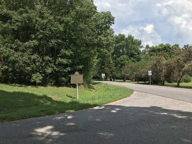
3. Donaldson Marker
Credits. This page was last revised on August 15, 2021. It was originally submitted on August 15, 2021, by Duane and Tracy Marsteller of Murfreesboro, Tennessee. This page has been viewed 731 times since then and 77 times this year. Photos: 1, 2, 3. submitted on August 15, 2021, by Duane and Tracy Marsteller of Murfreesboro, Tennessee.
