Marker Logo HMdb.org THE HISTORICAL
MARKER DATABASE
“Bite-Size Bits of Local, National, and Global History”
Canton in Trigg County, Kentucky — The American South (East South Central)
 

Cavalry vs. Gunboat


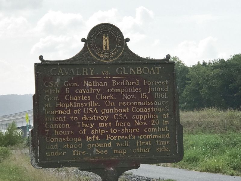
Cavalry vs. Gunboat Marker image. Click for full size.
Photographed By Duane and Tracy Marsteller, August 14, 2021
1. Cavalry vs. Gunboat Marker
Inscription. CSA General Nathan Bedford Forrest with 6 cavalry companies joined Gen. Charles Clark, Nov. 15, 1861, at Hopkinsville. On reconnaissance learned of USA gunboat Conestoga's intent to destroy CSA supplies at Canton. They met here November 20 in 7 hours of ship-to-shore combat. Conestoga left. Forrest's command had stood ground well, first time under fire. See map other side.
 
Erected 1963 by Kentucky Historical Society • Kentucky Department of Highways. (Marker Number 619.)
 
Topics and series. This historical marker is listed in these topic lists: War, US CivilWaterways & Vessels. In addition, it is included in the Kentucky Historical Society series list. A significant historical date for this entry is November 20, 1861.
 
Location. 36° 47.906′ N, 87° 58.04′ W. Marker is in Canton, Kentucky, in Trigg County. Marker is on Canton Road (U.S. 68) east of Mound Road, on the right when traveling west. Touch for map. Marker is in this post office area: Cadiz KY 42211, United States of America. Touch for directions.
 
Other nearby markers. At least 8 other markers are within 6 miles of this marker, measured as the crow flies. St. Joseph's Parish (approx. 3.3 miles away); Golden Pond (approx. 3.3 miles away); Maple Grove School (approx. 4.3 miles away); Drury Bridges (Bridgers, Bridger) (approx.
Paid Advertisement
Click on the ad for more information.
Please report objectionable advertising to the Editor.
Click or scan to see
this page online
4.3 miles away); Lower Donaldson School (approx. 4.8 miles away); Laura Furnace / Iron Made in Kentucky (approx. 5 miles away); Drummer Boy at 7 (approx. 5 miles away); Donaldson (approx. 5.2 miles away).
 
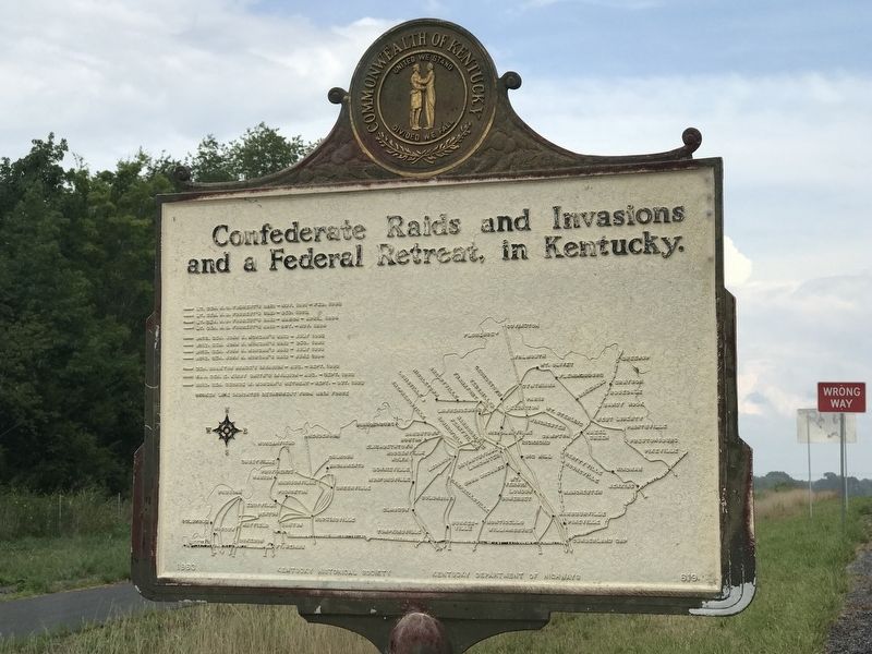
Cavalry vs. Gunboat Marker (map) image. Click for full size.
Photographed By Duane and Tracy Marsteller, August 14, 2021
2. Cavalry vs. Gunboat Marker (map)
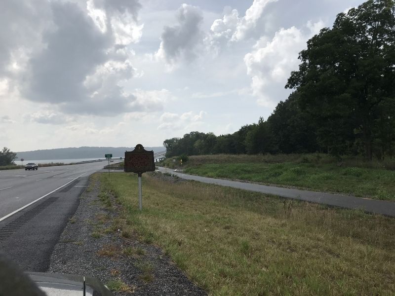
Cavalry vs. Gunboat Marker image. Click for full size.
Photographed By Duane and Tracy Marsteller, August 14, 2021
3. Cavalry vs. Gunboat Marker
Looking west toward the Cumberland River.
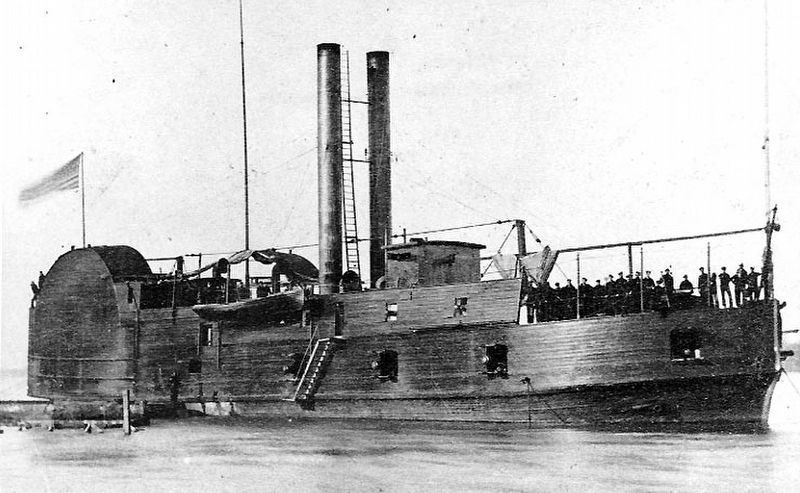
The <i>USS Conestoga</i> image. Click for full size.
U.S. Naval Historical Center, circa 1862
4. The USS Conestoga
Originally a civilian side-wheel towboat, the U.S. Army converted it to a "timberclad" river gunboat during the Civil War. It sank after colliding with the USS General Price on March 8, 1864.
 
 
Credits. This page was last revised on August 15, 2021. It was originally submitted on August 15, 2021, by Duane and Tracy Marsteller of Murfreesboro, Tennessee. This page has been viewed 304 times since then and 25 times this year. Photos:   1, 2, 3, 4. submitted on August 15, 2021, by Duane and Tracy Marsteller of Murfreesboro, Tennessee.
Share this page.  
Share on Tumblr
m=179545

CeraNet Cloud Computing sponsors the Historical Marker Database.
This website earns income from purchases you make after using our links to Amazon.com. We appreciate your support.
Paid Advertisement
Apr. 25, 2024