Near Bruce in Brookings County, South Dakota — The American Midwest (Upper Plains)
Oakwood Lakes Burial Mounds
August 15, 2021
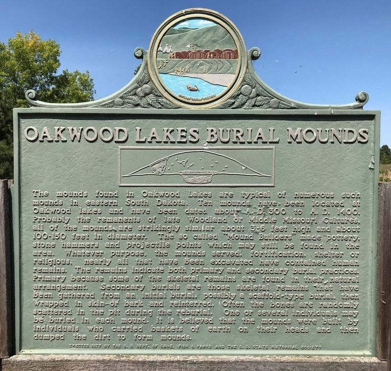
1. Oakwood Lakes Burial Mounds Marker
The mounds found in Oakwood Lakes are typical of numerous such mounds in eastern South Dakota. Ten mounds have been located at Oakwood lakes and have been dated about A. D. 300 to A.D. 1400. Probably the remanents (sic) of late Woodland or Middle Missouri Cultures, all of the mounds are strikingly similar about 3-6 feet high and about 100-150 feet in diameter. The so called "Mound Builders" made pottery, stone hammers and projectile points which may still be found in the area. Whatever purpose, the mounds served, fortification, shelter or religious, nearly all that have been excavated have contained human remains. The remains indicate both primary and secondary burial practices. Primary because some of the skeletal remains are found in their natural arrangement. Secondary burials are those skeletal remains that have been gathered from an initial burial, possibly a scaffold-type burial, then wrapped in skin or bark and reinterred. Often the bones are randomly scattered in the pit during the reburial. One or several individuals may be buried in each mound. It is believed that the mounds were built by individuals who carried
this page online
Erected 1977 by the S.D. Dept. of Game, Fish & Parks and the S.D. State Historical Society. (Marker Number 478.)
Topics and series. This historical marker is listed in these topic lists: Anthropology & Archaeology • Indigenous Peoples and Communities. In addition, it is included in the South Dakota State Historical Society Markers series list. A significant historical year for this entry is 300 CE.
Location. 44° 27.006′ N, 96° 59.211′ W. Marker is near Bruce, South Dakota, in Brookings County. It can be reached from 202nd Street. Located in Oakwood Lakes State Park at the American Indian Burial Mounds. Touch for map. Marker is at or near this postal address: 20247 S Oakwood Shoreline Dr, Bruce SD 57220, United States of America. Touch for directions.

Regionally, this marker is in East River. It is also in the American Midwest, in the Lewis & Clark Corridor, in the Corn Belt, on the prairies, and on the Northern Plains. Globally, it is in North America, the Western Hemisphere, the Western World, and the Anglosphere. Historically, it finds itself
August 15, 2021
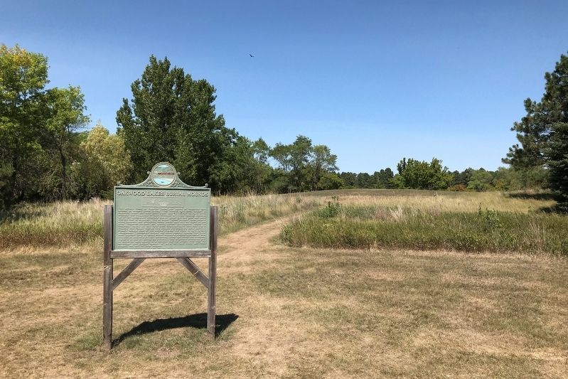
2. Oakwood Lakes Burial Mounds Marker
Other nearby markers. At least 8 other markers are within walking distance of this marker: Significant Site (approx. 0.2 miles away); Bur Oak (approx. 0.3 miles away); Dogwood, Jewelweed (approx. 0.3 miles away); Milkweed (approx. 0.3 miles away); Gooseberries, Stinging Nettles (approx. 0.3 miles away); Praise in the Park (approx. 0.3 miles away); Buckthorn, Catnip (approx. 0.4 miles away); Ash, Ponderosa Pine (approx. 0.4 miles away). Touch for a list and map of all markers in Bruce.
August 15, 2021
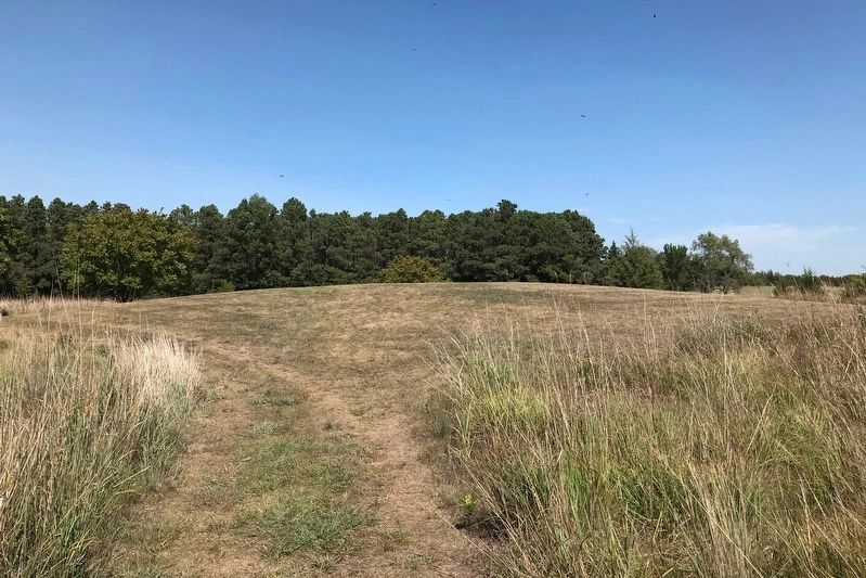
3. One of the Burial Mounds at Oakwood Lakes State Park
Credits. This page was last revised on October 2, 2024. It was originally submitted on August 17, 2021. This page has been viewed 1,226 times since then and 93 times this year. Photos: 1, 2, 3. submitted on August 17, 2021. • Mark Hilton was the editor who published this page.
