Port Townsend in Jefferson County, Washington — The American West (Northwest)
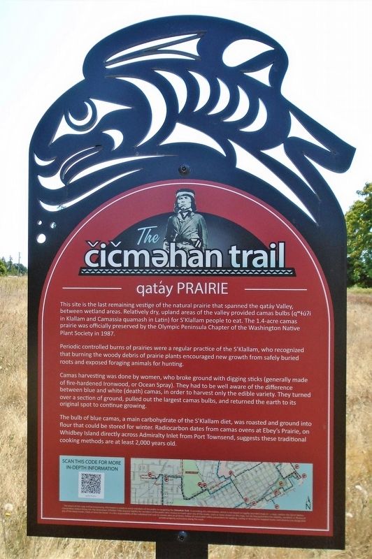
qatáy Prairie
The čičməhán Trail Stop 14
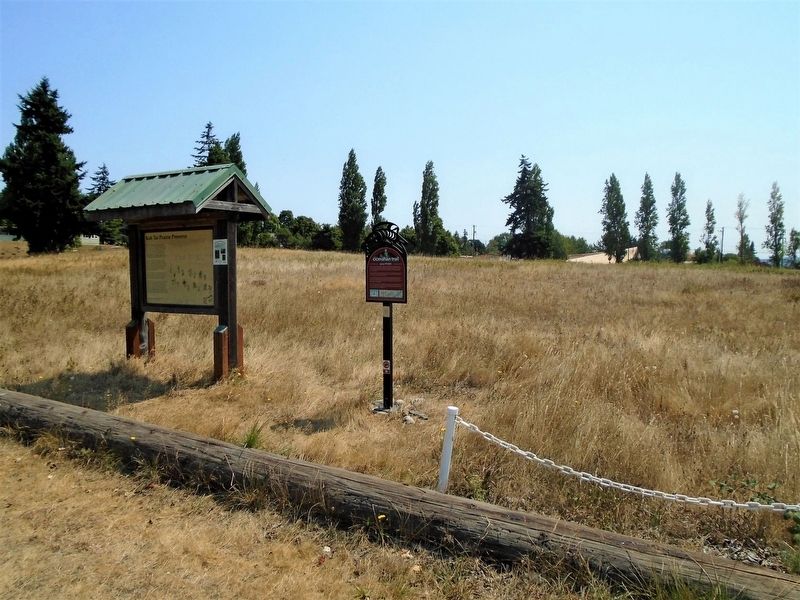
This site is the last remaining vestige of the natural prairie that spanned the qatáy Valley, between wetland areas. Relatively dry, upland areas of the valley provided camas bulbs (qʷɬúʔi in Klallam and Camassia quamash in Latin) for S'Klallam people to eat. The 1.4-acre camas prairie was officially preserved by the Olympic Peninsula Chapter of the Washington Native Plant Society in 1987.
Periodic controlled burns of prairies were a regular practice of the S'Klallam, who recognized that burning the woody debris of prairie plants encouraged new growth from safely buried roots and exposed foraging animals for hunting.
Camas harvesting was done by women, who broke ground with digging sticks (generally made of fire-hardened Ironwood, or Ocean Spray). They had to be well aware of the difference between blue and white (death) camas, in order to harvest only the edible variety. They turned over a section of ground, pulled out the largest camas bulbs, and returned the earth to its original spot to continue growing.
The bulb of blue camas, a main carbohydrate of the S'Klallam diet, was roasted and ground into flour that could be stored for winter. Radiocarbon dates from camas ovens at Ebey's Prairie, on Whidbey Island directly across Admiralty Inlet from Port Townsend, suggests these traditional cooking methods are at least 2,000 years old.
Erected 2019 by Native Connections Action Group of the Quimper Unitarian Universalist Fellowship, the Jamestown S'Klallam Tribe, and Others.
Topics and series. This historical marker is listed in these topic lists: Environment • Native Americans • Parks & Recreational Areas. In addition, it is included in the The Čičməhán Trail, Port Townsend, Washington series list. A significant historical year for this entry is 1987.
Location. 48° 6.977′ N, 122° 46.449′ W. Marker is in Port Townsend, Washington, in Jefferson County. Marker and prairie are near the Port Townsend Golf Club parking lot. Touch for map. Marker is at or near this postal address: 1948 Blaine Street, Port Townsend WA 98368, United States of America. Touch for directions.
Other nearby markers. At least 8 other markers are within walking distance of this marker. Kah Tai Prairie Preserve (here, next to this marker); Sentinel Rock (within shouting distance of this marker); Chetzemoka (within shouting distance of this marker); Chief Chetzemoka (within shouting distance of this marker); Jefferson County Courthouse (approx. 0.4 miles away); World War Memorial (approx. 0.4 miles away); Civil War Memorial (approx. 0.6 miles away); Fire Bell Tower (approx. 0.7 miles away). Touch for a list and map of all markers in Port Townsend.
Also see . . .
1. The čičməhan trail. (Submitted on August 18, 2021, by William Fischer, Jr. of Scranton, Pennsylvania.)
2. The čičməhan trail on YouTube. (Submitted on August 18, 2021, by William Fischer, Jr. of Scranton, Pennsylvania.)
3. qatáy Prairie. (Submitted on August 18, 2021, by William Fischer, Jr. of Scranton, Pennsylvania.)
4. Olympic Peninsula Chapter of the Washington Native Plant Society. (Submitted on August 18, 2021, by William Fischer, Jr. of Scranton, Pennsylvania.)
Credits. This page was last revised on August 18, 2021. It was originally submitted on August 18, 2021, by William Fischer, Jr. of Scranton, Pennsylvania. This page has been viewed 164 times since then and 11 times this year. Photos: 1, 2. submitted on August 18, 2021, by William Fischer, Jr. of Scranton, Pennsylvania.

