Tinbridge Hill in Lynchburg, Virginia — The American South (Mid-Atlantic)
The Whitlow-Bradley Graves
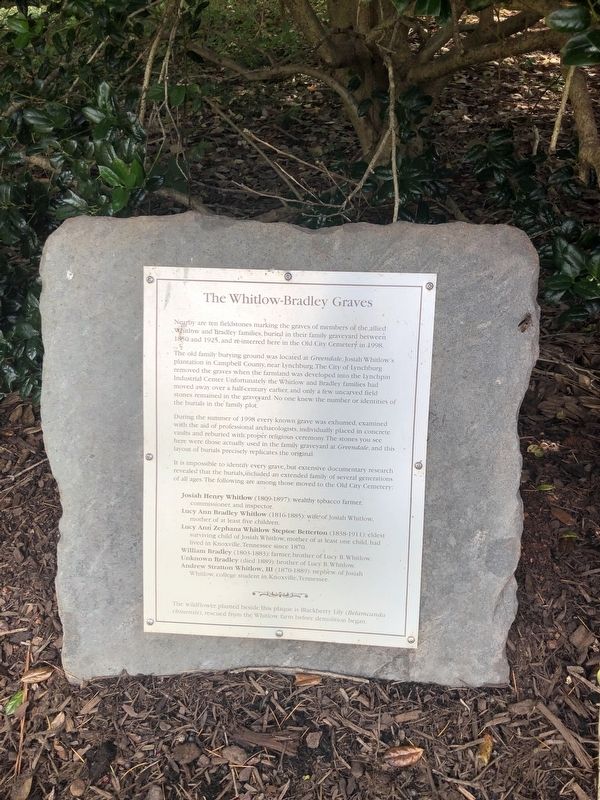
Nearby are ten fieldstones marking the graves of members of the allied Whitlow and Bradley families, buried in their family graveyard between 1850 and 1925, and re-interred here in the Old City Cemetery in 1998.
The old family burying ground was located at Greendale, Josiah Whitlow's plantation in Campbell County, near Lynchburg. The City of Lynchburg removed the graves when the farmland was developed into the Lynchpin Industrial Center. Unfortunately, the Whitlow and Bradley families had moved away over a half-century earlier, and only a few uncarved field stones remained in the graveyard. No one knew the number or identities of the burials in the family plot.
During the summer of 1998 every known grave was exhumes, examined with the aid of professional archaeologists, individually placed in concrete vaults and reburied with proper religious ceremony. The stones you see here were those actually used in the family graveyard at Greendale, and this layout of burials precisely replicates the original.
It is impossible to identify every grave, but extensive documentary research revealed that the burials, included
this page online
Josiah Henry Whitlow (1809-1897): wealthy tobacco farmer, commissioner, and inspector.
Lucy Ann Bradley Whitlow (1816-1885): wife of Josiah Whitlow, mother of at least five children.
Lucy Ann Zephana Whitlow Steptoe Betterton (1838-1911): eldest surviving child of Josiah Whitlow, mother of at least one child, had lived in Knoxville, Tennessee since 1870.
William Bradley (1803-1883): farmer, brother of Lucy B. Whitlow.
Unknown Bradley (died 1889): brother of Lucy B. Whitlow.
Andrew Stratton Whitlow, III (1870-1889): nephew of Josiah Whitlow, college student in Knoxville, Tennessee.
The wildflower planted beside this plaque is Blackberry Lily (Belamcanda chinensis), rescued from the Whitlow farm before demolition began.
Topics. This historical marker is listed in these topic lists: Agriculture • Cemeteries & Burial Sites • Industry & Commerce. A significant historical year for this entry is 1850.
Location. 37° 24.821′ N, 79° 9.464′ W. Marker is in Lynchburg, Virginia. It is in Tinbridge Hill. It is on
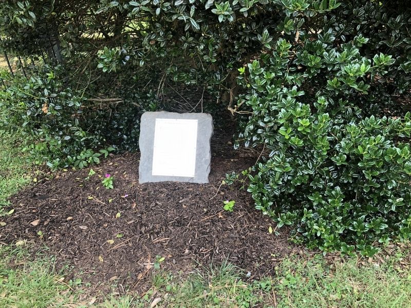

Regionally, this marker is in Central Virginia. It is also in the American South and specifically in the Upper South. Globally, it is in North America, the Western Hemisphere, the Western World, and the Anglosphere. Historically, it finds itself in what was once the territory of the Mississippian Culture, one of the original Thirteen Colonies, one of the Confederate States of America, and the Antebellum South.
Other nearby markers. At least 8 other markers are within walking distance of this marker: Lynchburg’s First Public Hanging, 1830 (a few steps from this marker); The Duval Holt Orchard (within shouting distance of this marker); Ministers, Trustees and Other Religious Leaders (within shouting distance of this marker); Hermon Methodist Church (within shouting distance of this marker); Chapel and Columbarium (within shouting distance of this marker); Ivy Chapel Union Church (within shouting distance of this marker); Site of Glanders Stable (within shouting distance of this marker); Glanders (within shouting distance of this marker). Touch for a list and map of all markers in Lynchburg.
Another marker is no longer nearby. The Quartermaster’s Glanders Stable (was within shouting distance of this marker but has been replaced with another marker now near it).
Credits. This page was last revised on February 1, 2023. It was originally submitted on August 19, 2021, by Devry Becker Jones of Washington, District of Columbia. This page has been viewed 344 times since then and 22 times this year. Photos: 1, 2. submitted on August 19, 2021, by Devry Becker Jones of Washington, District of Columbia.
