Doniphan in Ripley County, Missouri — The American Midwest (Upper Plains)
Doniphan
[side 1]
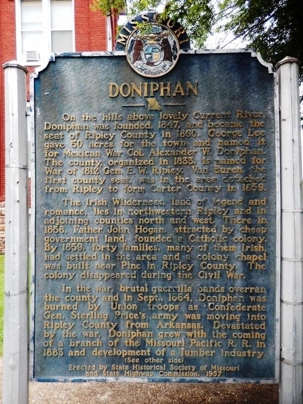
On the hills above lovely Current River, Doniphan was founded, 1847, and became the seat of Ripley County in 1860. George Lee gave 50 acres for the town and named it for Mexican War Col. Alexander W. Doniphan. The county, organized in 1833, is named for War of 1812 Gen. E.W. Ripley. Van Buren, the first county seat, was in the area detached from Ripley to form Carter County in 1859.
The Irish wilderness, land of legend and romance, lies in northwestern Ripley and in adjoining counties north and west. There in 1858, Father John Hogan, attracted by cheap government land, founded a Catholic colony. By 1859, forty families, many of them Irish, had settled in the area and the colony chapel was built near Pine in Ripley County. The colony disappeared during the Civil War.
In the war, brutal guerrilla bands overran the county and in Sept., 1864, Doniphan was burned by Union troops as Confederate Gen. Sterling Price's army was moving into Ripley County from Arkansas. Devastated by the war, Doniphan grew with the coming of a branch of the Missouri Pacific R.R. in 1883 and development of a lumber industry.
[side 2]
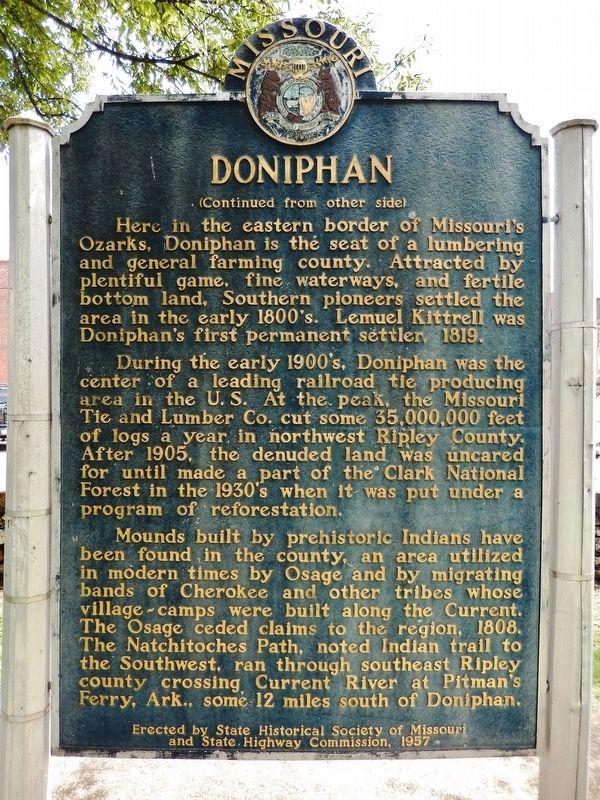
Here in the eastern border of Missouri's Ozarks, Doniphan is the seat of a lumbering and general farming county. Attracted by plentiful game, fine waterways, and fertile bottom land, Southern pioneers settled the area in the early 1800's. Lemuel Kittrell was Doniphan's first permanent settler, 1819.
During the early 1900's, Doniphan was the center of a leading railroad tie producing area in the U.S. At the peak, the Missouri Tie and Lumber Co. cut some 35,000,000 feet of logs a year in northwest Ripley County. After 1905, the denuded land was uncared for until made a part of Clark National Forest in the 1930's when it was put under a program of reforestation.
Mounds built by prehistoric Indians have been found in the county, an area utilized in modern times by Osage and by migrating bands of Cherokee and other tribes whose village-camps were built along the Current. The Osage ceded claims to the region, 1808. The Natchitoches Path, noted Indian trail to the Southwest, ran through southeastern Ripley County crossing the Current River at Pitman's Ferry, Ark., some 12 miles south of Doniphan.
Erected 1957 by State Historical Society of Missouri; and State Highway Commission.
Topics and series. This historical marker is listed in these topic lists: Industry & Commerce • Native Americans • Settlements & Settlers • War, US Civil. In addition, it is included in the Missouri, The State Historical Society of series list. A significant historical date for this entry is April 26, 1847.
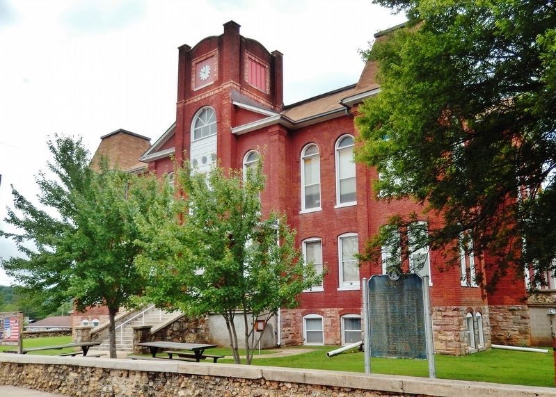
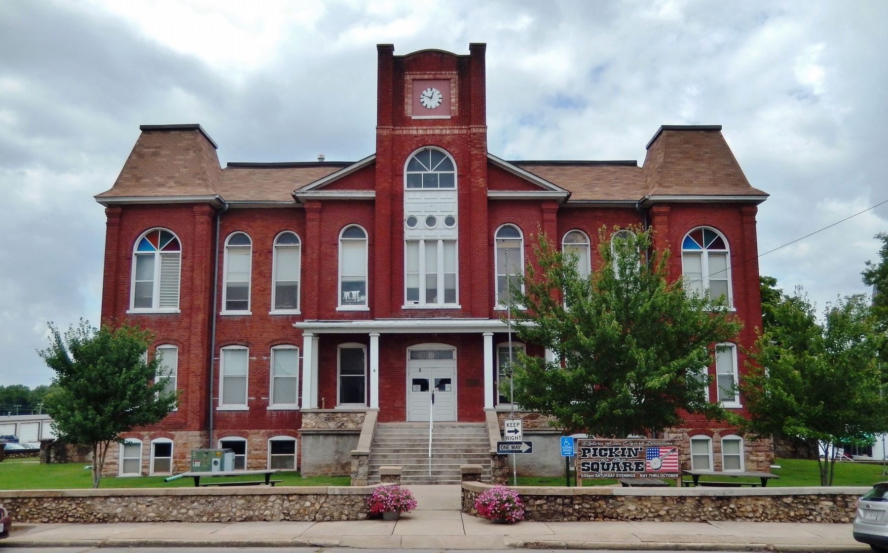
Location. 36° 37.06′ N, 90° 49.626′ W. Marker is in Doniphan, Missouri, in Ripley County. Marker is on Court House Square just north of Washington, on the left when traveling north. Marker is located on the Ripley County Courthouse grounds, near the northeast corner of the courthouse. Touch for map. Marker is at or near this postal address: 100 Court House Square, Doniphan MO 63935, United States of America. Touch for directions.
Other nearby markers. At least 8 other markers are within walking distance of this marker. Ripley County Veterans Memorial (here, next to this marker); War Memorial (within shouting distance of this marker); Tribute to Current River (within shouting distance of this marker); Heritage Homestead (about 500 feet away, measured in a direct line); Pioneer Log Cabin (about 500 feet away); a different marker also named Pioneer Log Cabin (about 500 feet away); Tom Kennon's Blacksmith Shop (about 500 feet away); Zebedee Washington Stephens (about 500 feet away). Touch for a list and map of all markers in Doniphan.
Also see . . . Ripley County History. Located deep in the rugged, wooded hills of southern Missouri, the area now included within the boundaries of Ripley County remained sparsely settled throughout the nineteenth century. Although officially organized in 1833, the county did not assume its present size until 1872. (Submitted on August 20, 2021, by Cosmos Mariner of Cape Canaveral, Florida.)
Credits. This page was last revised on September 3, 2021. It was originally submitted on August 20, 2021, by Cosmos Mariner of Cape Canaveral, Florida. This page has been viewed 821 times since then and 120 times this year. Photos: 1, 2, 3, 4. submitted on August 20, 2021, by Cosmos Mariner of Cape Canaveral, Florida.


