Gig Harbor in Pierce County, Washington — The American West (Northwest)
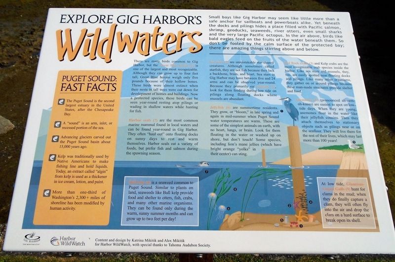
Explore Gig Harbor Wildwaters
• The Puget Sound is the second largest estuary in the United States, after the Chesapeake Bay.
• A "sound" is an arm, inlet, or recessed portion of the sea.
• Advancing glaciers carved out the Puget Sound basin about 15,000 years ago.
• Kelp was traditionally used by Native Americans to make fishing line and hold liquids. Today, an extract called "algin" from kelp is used as a thickener in ice cream, lotion, and paint.
• More than one-third of Washington's 2,300+ miles of shoreline has been modified by human activity.
[Balance of marker is informational and not transcribed]
Erected by City of Gig Harbor and Harbor Wild Watch.
Topics. This historical marker is listed in these topic lists: Environment • Waterways & Vessels.
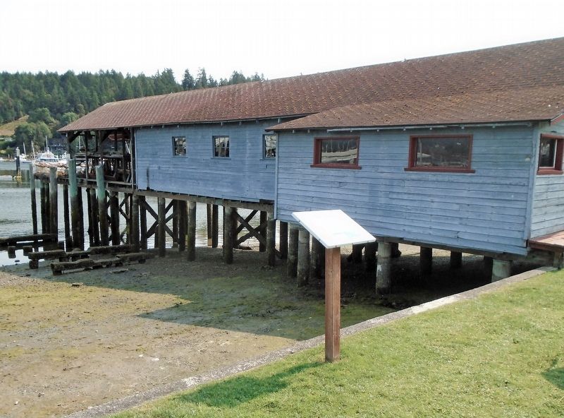
Location. 47° 19.844′ N, 122° 34.886′ W. Marker is in Gig Harbor, Washington, in Pierce County. Marker is on Harborview Drive north of Pioneer Way, on the right when traveling north. Marker is in Skansie Brothers Park, near the Netshed. Touch for map. Marker is at or near this postal address: 3211 Harborview Drive, Gig Harbor WA 98335, United States of America. Touch for directions.
Other nearby markers. At least 8 other markers are within walking distance of this marker. Skansie Netshed & House (a few steps from this marker); Across the Bay (a few steps from this marker); Lost At Sea (within shouting distance of this marker); Fishing Family Memorial Anchor (within shouting distance of this marker); First Settlers (within shouting distance of this marker); Skansie Brothers Park (within shouting distance of this marker); Our First Sawmill (within shouting distance of this marker); Birth of the Business District (about 500 feet away, measured in a direct line). Touch for a list and map of all markers in Gig Harbor.
Credits. This page was last revised on August 21, 2021. It was originally submitted on August 20, 2021, by William Fischer, Jr. of Scranton, Pennsylvania. This page has been viewed 120 times since then and 6 times this year. Photos: 1, 2. submitted on August 20, 2021, by William Fischer, Jr. of Scranton, Pennsylvania.

