Ipswich in Edmunds County, South Dakota — The American Midwest (Upper Plains)
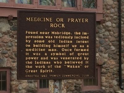
Medicine or Prayer Rock
Photographed by Ruth VanSteenwyk, November 20, 2015
1. Medicine or Prayer Rock Marker
Erected by Erected 1962 Ipswich Commercial Club. (Marker Number 240.)
Topics and series. This historical marker is listed in these topic lists: Anthropology & Archaeology • Indigenous Peoples and Communities • Religion & Religious Structures. In addition, it is included in the South Dakota State Historical Society Markers series list. A significant historical year for this entry is 1962.
Location. 45° 26.709′ N, 99° 1.662′ W. Marker is in Ipswich, South Dakota, in Edmunds County. It is on Main Street 0.1 miles south of 2nd Avenue, on the right when traveling north. Touch for map. Marker is at or near this postal address: 120 Main Street, Ipswich SD 57451, United States of America. Touch for directions.

Regionally, this marker is
this page online
Other nearby markers. At least 2 other markers are within 11 miles of this marker, measured as the crow flies: Ipswich Memorial Arch (approx. 0.4 miles away); Welsh Colony at Powell (approx. 10.9 miles away).
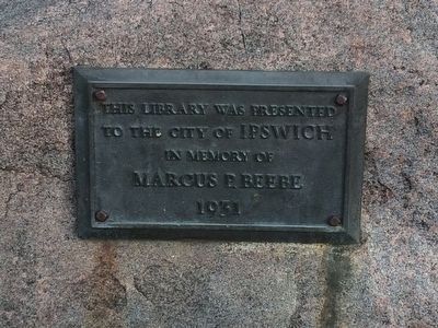
Additional keywords. Marcus P. Beebe
Photographed by Ruth VanSteenwyk, November 20, 2015
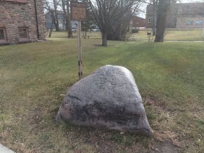
2. Prayer Rock and Prayer Rock Marker
Photographed by Ruth VanSteenwyk, November 20, 2015
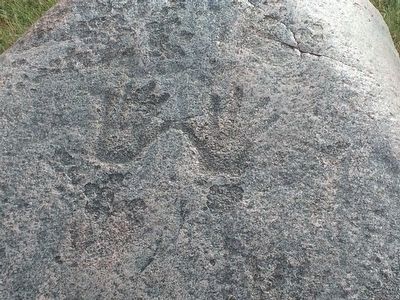
3. Impressions on Prayer Rock
Photographed by Ruth VanSteenwyk, November 20, 2015
4. Plaque on Prayer Rock
Photographed by Ruth VanSteenwyk, November 20, 2015
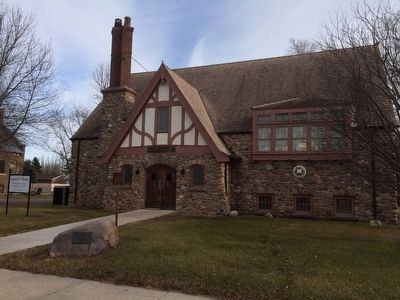
5. Long view of Prayer Rock and Marcus P. Beebe Memorial Llibrary
Photographed by Ruth VanSteenwyk, November 20, 2015
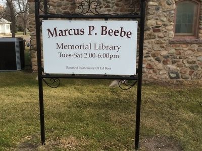
6. Marcus P. Beebe Memorial Library
Credits. This page was last revised on December 26, 2024. It was originally submitted on November 20, 2015, by Ruth VanSteenwyk of Aberdeen, South Dakota. This page has been viewed 1,260 times since then and 83 times this year. Last updated on August 20, 2021, by Ruth VanSteenwyk of Aberdeen, South Dakota. Photos: 1, 2, 3, 4, 5, 6. submitted on November 20, 2015, by Ruth VanSteenwyk of Aberdeen, South Dakota. • Bill Pfingsten was the editor who published this page.
