Mitchell in Davison County, South Dakota — The American Midwest (Upper Plains)
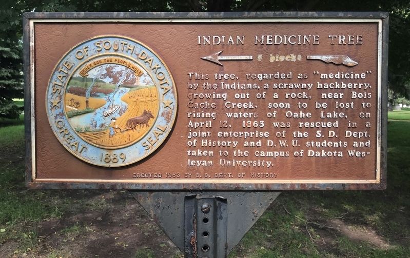
Indian Medicine Tree
Erected 1963 by S. D. Dept. of History. (Marker Number 360.)
Topics and series. This historical marker is listed in these topic lists: Anthropology & Archaeology • Education • Horticulture & Forestry • Native Americans. In addition, it is included in the South Dakota State Historical Society Markers series list. A significant historical date for this entry is April 12, 1863.
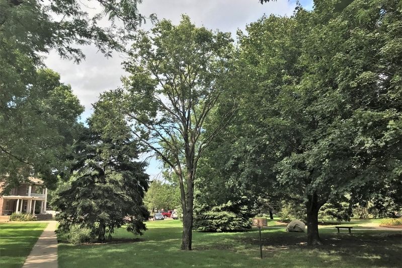
Location. 43° 41.925′ N, 98° 1.898′ W. Marker is in Mitchell, South Dakota, in Davison County. Marker can be reached from West University Avenue, 0.1 miles south of McCabe Street, on the right when traveling north. The marker is located at Dakota Wesleyan University, on the left side of a sidewalk going south toward Smith Hall from Prather Hall. Touch for map. Marker is at or near this postal address: 1200 W University Ave, Mitchell SD 57301, United States of America. Touch for directions.
Other nearby markers. At least 8 other markers are within 8 miles of this marker, measured as the crow flies. Davison County, South Dakota, Veterans Memorial (approx. one mile away); Oscar Howe & Marilyn Wounded Head (approx. 1.1 miles away); The Corn Palace (approx. 1.1 miles away); Carl Gunderson: (approx. 1.2 miles away); Davison County WWI Memorial Tablet (approx. 1.2 miles away); Old Mill Stone (approx. 1.2 miles away); Junction of Jimtown & Fort Thompson Trails (approx. 2.6 miles away); Original Site of New Home Lutheran Church (approx. 7.1 miles away). Touch for a list and map of all markers in Mitchell.
Credits. This page was last revised on August 24, 2021. It was originally submitted on August 23, 2021. This page has been viewed 246 times since then and 22 times this year. Photos: 1, 2. submitted on August 23, 2021. • Devry Becker Jones was the editor who published this page.

