
Gallatin in Sumner County, Tennessee — The American South (East South Central)
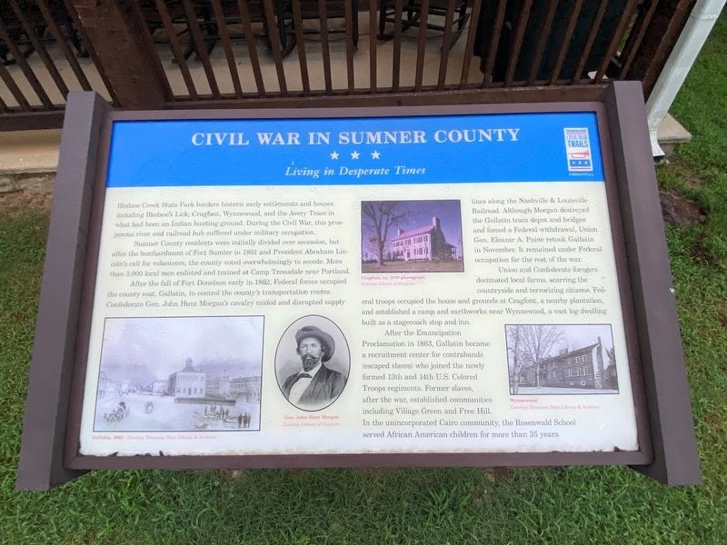
Civil War in Sumner County
Living in Desperate Times
Photographed by Darren Jefferson Clay, August 21, 2021
1. Civil War in Sumner County Marker
Sumner County residents were initially divided over secession, but after the bombardment of Fort Sumter in 1861 and President Abraham Lincoln's call for volunteers, the county voted overwhelmingly to secede. More than 3,000 local men enlisted and trained at Camp Trousdale near Portland.
After the fall of Fort Donelson early in 1862, Federal forces occupied the county seat, Gallatin, to control the county's transportation routes. Confederate Gen. John Hunt Morgan's cavalry raided and disrupted supply lines along the Nashville & Louisville Railroad. Although Morgan destroyed the Gallatin train depot and bridges and forced a Federal withdrawal, Union Gen. Eleazar A. Paine retook Gallatin in November. It remained under Federal occupation for the rest of the war.
Union and Confederate foragers decimated local farms, scarring the countryside and
this page online
After the Emancipation Proclamation in 1863, Gallatin became a recruitment center for contraband (escaped slaves) who joined the newly formed 13th and 14th U.S. Colored Troops regiments. Former slaves, after the war, established communities including Village Green and Free Hill. In the unincorporated Cairo community, the Rosenwald School served African American children for more than 35 years.
(captions)
Cragfont, ca. 1970 photograph Courtesy Library of Congress
Gallatin, 1862 - Courtesy Tennessee State Library & Archives
Gen. John Hunt Morgan Courtesy Library of Congress
Wynnewood Courtesy Tennessee State Library & Archives
Erected by Tennessee Civil War Trails.
Topics and series. This historical marker is listed in these topic lists: African Americans • Parks & Recreational Areas • War, US Civil. In addition, it is included in the Tennessee Civil War Trails series list. A significant historical year for this entry is 1861.
Location. 36° 22.698′ N,
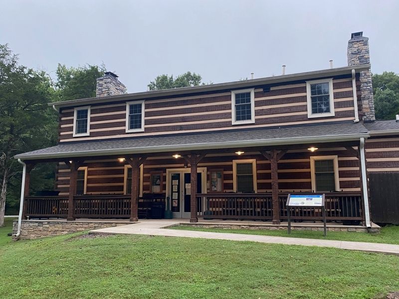
Photographed by Darren Jefferson Clay, August 21, 2021
2. Civil War in Sumner County Marker

Regionally, this marker is in Middle Tennessee and in Greater Nashville. It is also in the American South and specifically in the Upper South. Globally, it is in North America, the Western Hemisphere, the Western World, and the Anglosphere. Historically, it finds itself in what was once the territory of the Mississippian Culture, one of the Confederate States of America, and the Antebellum South.
Other nearby markers. At least 8 other markers are within 3 miles of this marker, measured as the crow flies: Cairo Rosenwald School (approx. 1.1 miles away); Town of Cairo (approx. 1.1 miles away); James B. Jameson House (approx. 1.6 miles away); Cragfont (approx. 1.7 miles away); a different marker also named Cragfont (approx. 2.1 miles away); a different marker also named Cragfont (approx. 2.1 miles away); Bledsoe's Fort and Monument (approx. 2.4 miles away); Abraham “Abram” Bledsoe (approx. 2.4 miles away). Touch for a list and map of all markers in Gallatin.
Another marker is no longer nearby. Ziegler's Station (was approx. 1.3 miles away but has been confirmed missing).
Also see . . . Bledsoe Creek State Park. Tennessee State Parks (Submitted on August 24, 2021.)
Credits. This page was last revised on November 11, 2024. It was originally submitted on August 23, 2021, by Darren Jefferson Clay of Duluth, Georgia. This page has been viewed 2,377 times since then and 148 times this year. Photos: 1, 2. submitted on August 23, 2021, by Darren Jefferson Clay of Duluth, Georgia. • Bernard Fisher was the editor who published this page.
