Castalian Springs in Sumner County, Tennessee — The American South (East South Central)
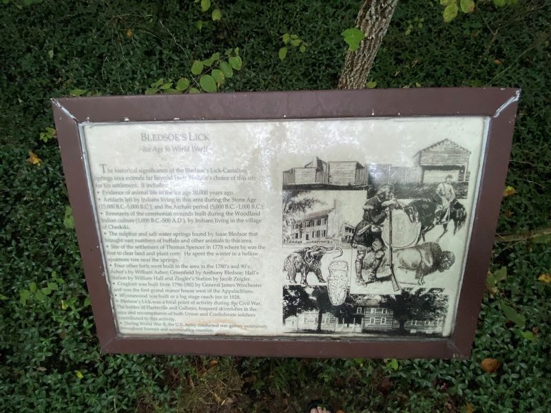
Bledsoe's Lick
Ice Age to World War II
• Evidence of animal life in the ice age 30,000 years ago.
• Artifacts left by Indians living in this area during the Stone Age (15,000 B.C.-5,000 B.C.), and the Archaic period (5,000 B.C.-1,000 B.C.).
• Remnants of the ceremonial mounds built during the Woodland Indian culture (1,000 B.C.-500 A.D.), by Indians living in the village of Cheskiki.
• The sulphur and salt water springs found by Isaac Bledsoe that brought yast numbers of buffalo and other animals to this area.
• Site of the settlement of Thomas Spencer in 1778 where he was the first to clear land and plant corn. He spent the winter in a hollow sycamore tree near the springs.
• Four other forts were built in the area in the 1780's and 90's. Asher's by William Asher; Greenfield by Anthony Bledsoe; Hall's Station by William Hall and Ziegler's Station by Jacob Zeigler.
• Cragfont was built from 1796-1802 by General James Winchester and was the first grand manor house west of the Appalachians.
• Wynnewood was built as a log stage coach inn in 1828.
• Bledsoe's Lick was a focal point of activity during the Civil War. The battles of Hartsville and Gallatin, frequent skirmishes in the area and encampments of both Union and Confederate soldiers contributed to this activity.
• During World War II, the U.S. Army conducted war games extensively throughout Sumner and surrounding counties.
Topics. This historical marker is listed in these topic lists: Animals • Anthropology & Archaeology • Forts and Castles • Native Americans • Paleontology • Settlements & Settlers • War, US Civil • War, World II.
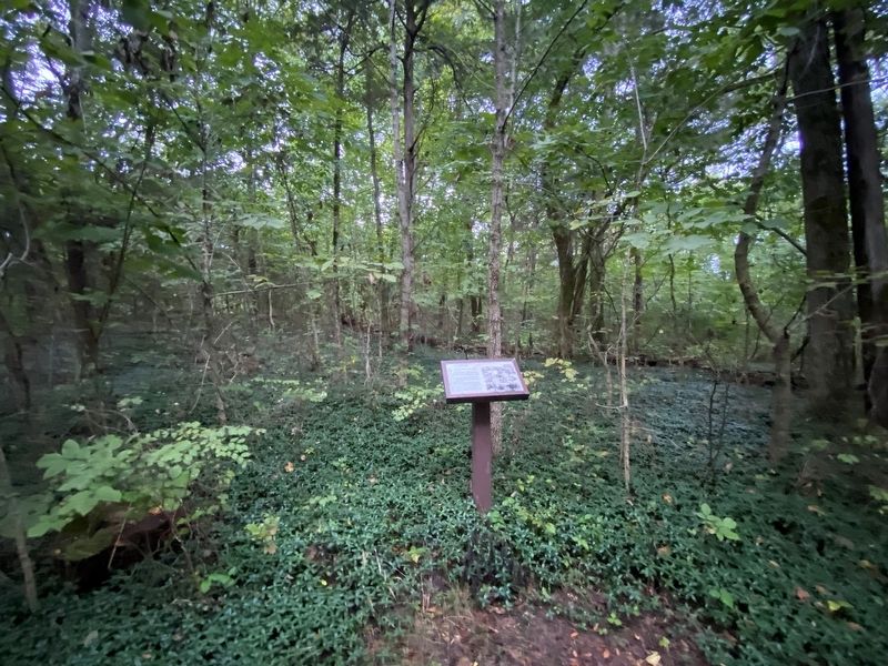
Location. 36° 23.899′ N, 86° 19.163′ W. Marker is in Castalian Springs, Tennessee, in Sumner County. Marker can be reached from Hartsville Pike (Tennessee Route 25) east of Hilton Lane, on the left when traveling east. Located in Bledsoe's Fort Historical Park. Touch for map. Marker is at or near this postal address: 2901 Hartsville Pike, Castalian Springs TN 37031, United States of America. Touch for directions.
Other nearby markers. At least 8 other markers are within walking distance of this marker. A Pioneer Cemetery (within shouting distance of this marker); Bledsoe Monument (within shouting distance of this marker); Nathaniel Parker, Hunter and Explorer (about 400 feet away, measured in a direct line); Unsettled and Dangerous Years (about 400 feet away); Capt. Horace Lawson Hunley (about 400 feet away); A Typical Settler's Cabin (about 400 feet away); The Nathaniel Parker Log Cabin (about 400 feet away); Hugh Rogan (about 500 feet away). Touch for a list and map of all markers in Castalian Springs.
Credits. This page was last revised on August 24, 2021. It was originally submitted on August 23, 2021, by Darren Jefferson Clay of Duluth, Georgia. This page has been viewed 288 times since then and 48 times this year. Photos: 1, 2. submitted on August 23, 2021, by Darren Jefferson Clay of Duluth, Georgia. • Bernard Fisher was the editor who published this page.

