Hague in Warren County, New York — The American Northeast (Mid-Atlantic)
Legendary Rocks
Lakes to Locks Passage
— Lake George Region —
Legendary Rocks
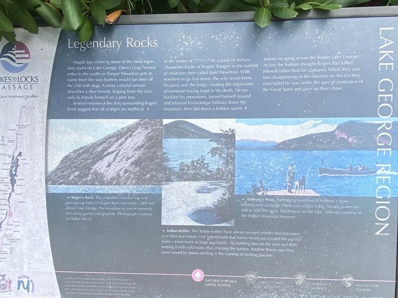
Hague lays claim to some of the most legendary rocks on Lake George. Deer's Leap, several miles to the south on Tongue Mountain gets its name from the wvay hunters would run deer off the cliff with dogs. A more colorful version describes a deer bravely leaping from the rock, only to impale himself on a pine tree.
Several versions of the story surrounding Rogers' Rock suggest that all of them are mythical. In the winter of 1757-1758, a party of Indians chased the leader of Rogers' Rangers to the summit of what was then called Bald Mountain. With nowhere to go but down, the wily scout threw his pack over the ledge, creating the impression of someone having leapt to his death. He unbuckled his snowshoes, turned himself around and retraced his footsteps halfway down the mountain, then slid down a hidden ravine before escaping across the frozen Lake George. At first the Indians thought Rogers had killed himself rather than be captured. When they saw him disappearing in the distance on the ice they concluded he was under the special protection of the Great Spirit and gave up their chase.
Roger's Rock.The smoothly rounded top and precipitous sides of Rogers Rock rise nearly 1,000 feet above Lake George. The mountain is rich in minerals, including garnet and graphite. Photograph courtesy of Arthur Secor.
Anthony's Nose. The striking headland of Anthony's Nose extends west along the North side of Blair's Bay. Nearby, waters are 400 to 500 feet deep, the deepest on the lake. Artwork courtesy of the Hague Historical Museum.
Indian Kettles The "Indian Kettles” have always aroused wonder and discussion as to their true nature. One legend holds that Native Americans created the pot-like holes – some twice as large as a barrel - by building fires on the rock and then wetting it with cold water, thus cracking the surface. Another theory says they were carved by stones swirling in the currents of melting glaciers.
Funding for the development of the partnership for Lakes To Locks Passage has been provided by New York State through the Department of Transportation Scenic Byway Program and Empire State Development as part of Governor George E. Pataki's Lake Champlain/Lake George Waterfront Revitalization Initiative.
Erected by New York State, NY Scenic Byways.
Topics. This historical marker is listed in these topic lists: Environment • Native Americans • War, French and Indian.
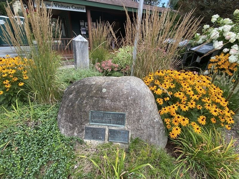
Location. 43° 44.679′ N, 73° 29.918′ W. Marker is in Hague, New York, in Warren County. Marker is on Lake Shore Drive (New York State Route 9N) south of Graphite Mountain Road (New York State Route 8), on the right when traveling north. Markers are at The Hague Visitors Center. Touch for map. Marker is at or near this postal address: 9060 Lake Shore Dr, Hague NY 12836, United States of America. Touch for directions.
Other nearby markers. At least 8 other markers are within walking distance of this marker. The Working Side of Hague (here, next to this marker); The Wreck of the Steamboat John Jay (here, next to this marker); Town of Hague Centennial (a few steps from this marker); Garfield's Hotel & Tavern (within shouting distance of this marker); The Dairy Building (about 500 feet away, measured in a direct line); The Hague Market (about 500 feet away); Hague Central School (approx. 0.3 miles away); Hague Heritage Cemetery (approx. half a mile away). Touch for a list and map of all markers in Hague.
Credits. This page was last revised on August 26, 2021. It was originally submitted on August 24, 2021, by Steve Stoessel of Niskayuna, New York. This page has been viewed 398 times since then and 24 times this year. Photos: 1, 2. submitted on August 24, 2021, by Steve Stoessel of Niskayuna, New York. • Bill Pfingsten was the editor who published this page.

