
Sweetwater in Monroe County, Tennessee — The American South (East South Central)
Captain John M. Jones, CSA
Memorial Park
Photographed by Darren Jefferson Clay, July 17, 2021
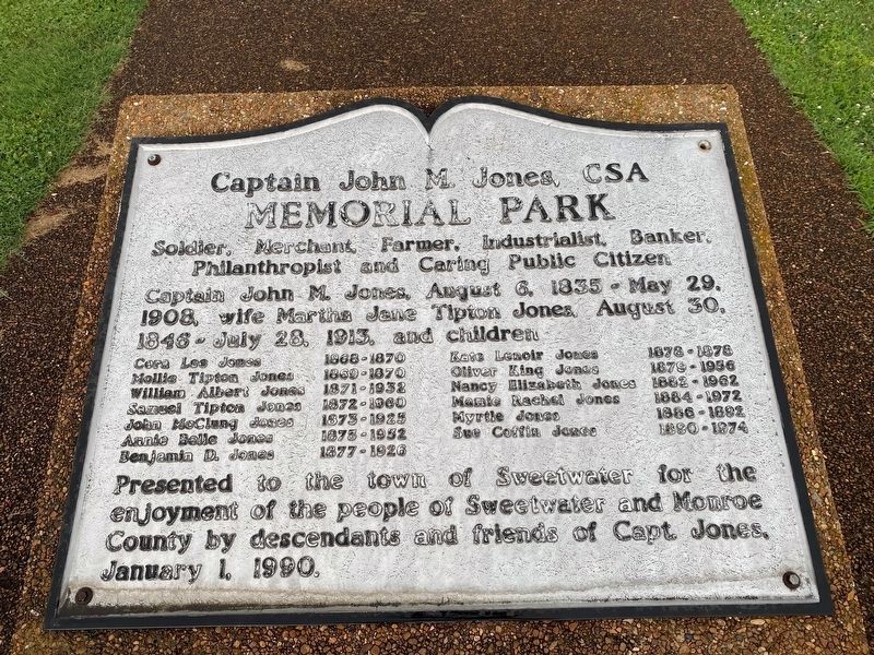
1. Captain John M. Jones, CSA Marker
Captain John M. Jones, CSA Memorial Park
Soldier, Merchant, Farmer, Industrialist, Banker, Philanthropist and Caring Public Citizen
Captain John M. Jones, August 6, 1835 - May 29, 1908, wife Martha Jane Tipton Jones, August 30, 1846 - July 28, 1913, and children
Cora Lee Jones 1868-1870
Mollie Tipton Jones 1869-1870
William Albert Jones 1871-1932
Samuel Tipton Jones 1872-1960
John McClung Jones 1873 1925
Annie Belle Jones 1873-1952
Benjamin D. Jones 1877- 1926
Kate Lenoir Jones 1878-1878
Oliver King Jones 1879-1956
Nancy Elizabeth Jones 1882-1962
Mamie Rachel Jones 1884-1972
Myrtle Jones 1886-1892
Sue Coffin Jones 1890-1974
Presented to the town of Sweetwater for the enjoyment of the people of Sweetwater and Monroe County by descendants and friends of Capt. Jones,
January 1, 1990.
Erected 1990 by Descendants and Friends of Captain Jones.
Topics. This memorial is listed in these topic lists: Parks & Recreational Areas • War, US Civil.
Location. 35° 36.145′ N, 84° 27.687′ W. Memorial is in Sweetwater, Tennessee, in Monroe County. It is
this page online

Regionally, this memorial is in East Tennessee. It is also in the American South, specifically in the Upper South, in Appalachia, and specifically in Southern Appalachia. Globally, it is in North America, the Western Hemisphere, the Western World, and the Anglosphere. Historically, it finds itself in what was once the original Cherokee Nation, the territory of the Mississippian Culture, one of the Confederate States of America, and the Antebellum South.
Other nearby markers. At least 8 other markers are within 5 miles of this marker, measured as the crow flies: Hurrah! (approx. 0.2 miles away); The Tennessee Overhill Experience (approx. 0.2 miles away); Sweetwater Depot (approx. 0.2 miles away); Longstreet Encampment (approx. half a mile away); T M I Academy (approx. ¾ mile away); Tennessee Meiji Gakuin High School 1989-2007 (approx. ¾ mile away); The Great Craighead Cave (approx. 4.9 miles away);
Photographed by Darren Jefferson Clay, July 17, 2021
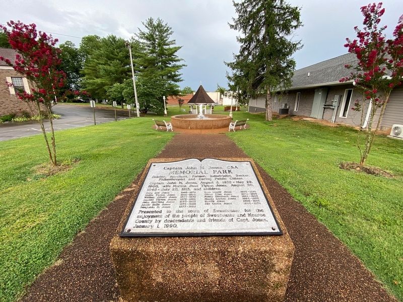
2. Captain John M. Jones, CSA Marker
Credits. This page was last revised on September 9, 2021. It was originally submitted on August 25, 2021, by Darren Jefferson Clay of Duluth, Georgia. This page has been viewed 708 times since then and 46 times this year. Photos: 1, 2. submitted on August 25, 2021, by Darren Jefferson Clay of Duluth, Georgia. • J. Makali Bruton was the editor who published this page.
