Roanoke Rapids in Halifax County, North Carolina — The American South (South Atlantic)
Roanoke Canal
"The importance … is evident"
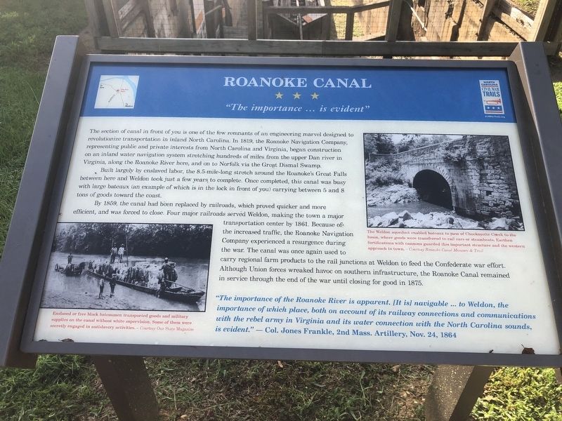
The section of canal in front of you is one of the few remnants of an engineering marvel designed to revolutionize transportation in inland North Carolina. In 1819, the Roanoke Navigation Company, representing public and private interests from North Carolina and Virginia, began construction on an inland water navigation system stretching hundreds of miles from the upper Dan river in Virginia, along the Roanoke River here, and on to Norfolk via the Great Dismal Swamp.
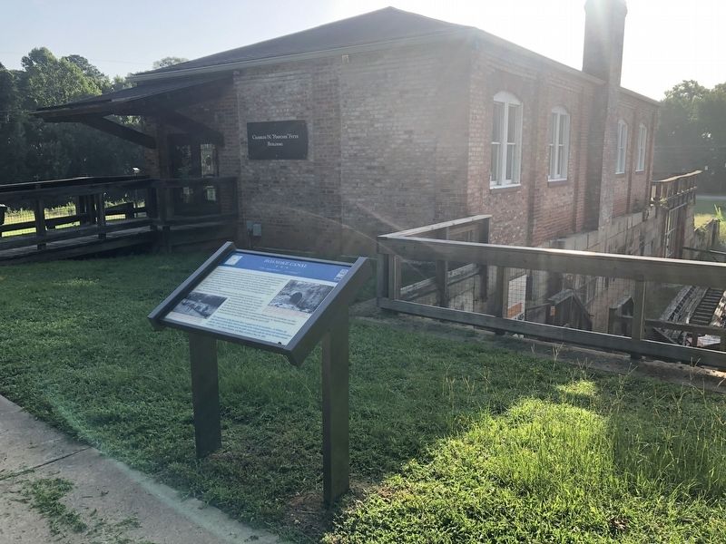
Built largely by enslaved labor, the 8.5-mile-long stretch around the Roanoke's Great Falls between here and Weldon took just a few years to complete. Once completed, this canal was busy with large bateaux (an example of which is in the lock in front of you) carrying between 5 and 8 tons of goods toward the coast.
By 1859, the canal had been replaced by railroads, which proved quicker and more efficient, was forced to close. Four major railroads served Weldon, making the town a major transportation center by 1861. Because of the increased traffic, the Roanoke Navigation Company experienced a resurgence during the war. The canal was once again used to carry regional farm products to the rail junctions at Weldon to feed the Confederate war effort. Although Union forces wreaked havoc on southern infrastructure, the Roanoke Canal remained in service through the end of the war until closing for good in 1875.
"The importance of the Roanoke River is apparent. [It is] navigable … to Weldon, the importance of which place, both on account of its railway connections and communications with the rebel army in Virginia and its water connection with the North Carolina sounds, is evident." — Col. Jones Frankle, 2nd Mass. Artillery, Nov. 24, 1864
[Captions:]
The Weldon aqueduct enabled bateaux to pass of Chockoyette Creed to the basin, where goods were transferred to rail cars or steamboats. Earthen fortifications with cannons guarded this important structure and the western approach to town.
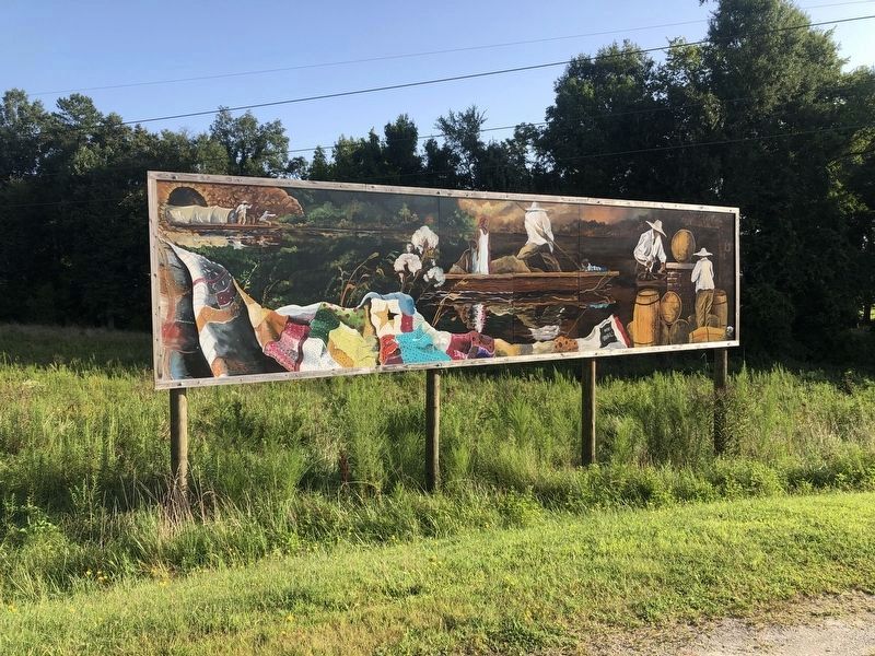
Enslaved or free black bateaumen transported goods and military supplies on the canal without white supervision. Some of them were secretly engaged in antislavery activities.
Erected by North Carolina Civil War Trails.
Topics and series. This historical marker is listed in these topic lists: African Americans • Industry & Commerce • War, US Civil • Waterways & Vessels. In addition, it is included in the North Carolina Civil War Trails series list. A significant historical date for this entry is October 24, 1864.
Location. 36° 28.482′ N, 77° 38.907′ W.
Other nearby markers. At least 8 other markers are within walking distance of this marker. The Batteauxmen (here, next to this marker); Canal Trail Map (a few steps from this marker); Bike Trail Map (a few steps from this marker); A Lock in Action – Step By Step (a few steps from this marker); The Batteaux (within shouting distance of this marker); Batteaux and Batteauxmen (about 300 feet away, measured in a direct line); a different marker also named Roanoke Canal (about 400 feet away); First Kraft Pulp in United States (approx. ¼ mile away). Touch for a list and map of all markers in Roanoke Rapids.

Photographed By Devry Becker Jones (CC0), August 27, 2021
3. Nearby mural showing bateaumen on the canal
Credits. This page was last revised on November 26, 2021. It was originally submitted on August 28, 2021, by Devry Becker Jones of Washington, District of Columbia. This page has been viewed 125 times since then and 11 times this year. Photos: 1, 2, 3. submitted on August 28, 2021, by Devry Becker Jones of Washington, District of Columbia.

