South Newport News , Virginia — The American South (Mid-Atlantic)
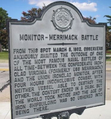
Monitor – Merrimack Battle
Photographed by Bill Coughlin, August 11, 2008
1. Monitor – Merrimack Battle Marker
Erected 1953 by Corporation of Newport News.
Topics and series. This historical marker is listed in these topic lists: War, US Civil • Waterways & Vessels. In addition, it is included in the Virginia, Corporation of Newport News series list. A significant historical date for this entry is March 9, 1862.
Location. 36° 58.977′ N, 76° 23.748′ W. Marker is in Newport News, Virginia. It is in South Newport News. It is on 16th Street (Virginia Route 167), on the left when traveling west. Touch for map. Marker is in this post office area: Newport News VA 23607, United States of America. Touch for directions.

Regionally, this marker is on Virginia’s Peninsula, in Hampton Roads, in Coastal Virginia, and
this page online
Other nearby markers. At least 8 other markers are within walking distance of this marker: Hampton Roads (within shouting distance of this marker); Monitor – Merrimack (within shouting distance of this marker); Birth of Naval Aviation (within shouting distance of this marker); Camp Stuart (approx. 0.6 miles away); Greenlawn Cemetery (approx. 0.7 miles away); Veterans Memorial (approx. 0.7 miles away); The Newsome House (approx. 0.7 miles away); The Winfield-Jones House (approx. ¾ mile away). Touch for a list and map of all markers in Newport News.
Also see . . . The Battle of the Ironclads, 1862. First hand account of the battle between
Photographed by Bill Coughlin, August 11, 2008
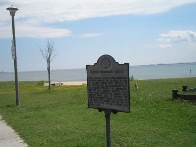
2. Marker at Hampton Roads
In the waters behind this marker, the C.S.S. Virginia and the U.S.S. Monitor fought the first ever battle between ironclad ships. This battle marked the end of the wooden naval vessels.
Photographed by Bill Coughlin, August 11, 2008
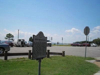
3. Marker on Chesapeake Bay Waterfront
Marker is at the entrance to the Monitor-Merrimack Overlook Park.
Credits. This page was last revised on February 1, 2023. It was originally submitted on August 11, 2008, by Bill Coughlin of Woodland Park, New Jersey. This page has been viewed 4,305 times since then and 95 times this year. Last updated on August 28, 2021, by Bradley Owen of Morgantown, West Virginia. Photos: 1, 2, 3. submitted on August 11, 2008, by Bill Coughlin of Woodland Park, New Jersey. • Bernard Fisher was the editor who published this page.
