Community Outreach in Little Rock in Pulaski County, Arkansas — The American South (West South Central)
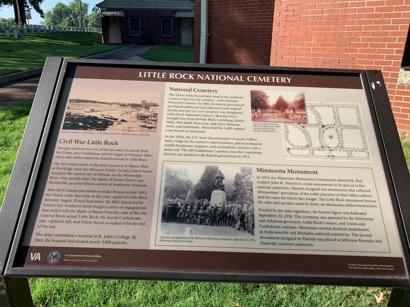
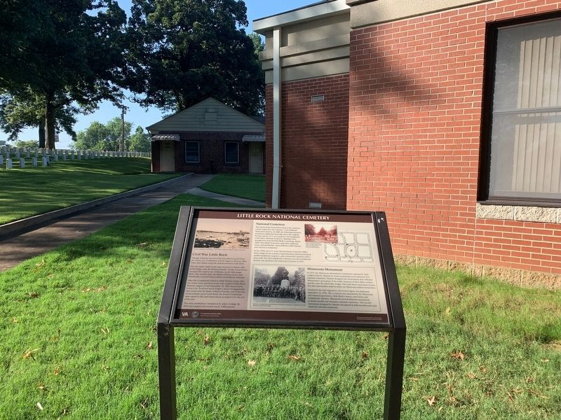
Little Rock National Cemetery
National Cemetery
The Union Army buried their dead in the southeast corner of the new cemetery—now Oakland—Fraternal Cemetery. In 1868, the federal government purchased additional land adjacent to the original burials and the 12.1-acre property was designated Little Rock national Cemetery. Remains were brought her from DeValls Bluff, Lewisburg, Marks Mill, Pine Bluff, Princeton, and other Arkansas towns and battlefields. About half the 5,409 remains were buried as unknown.
In the 1870s, the U.S. Army Quartermaster General's Office built a lodge for the cemetery superintendent, placed permanent marble headstones on graves, and enclosed the cemetery with a stone wall. The old Confederate Cemetery, now the Confederate Section, was deeded to the federal government in 1913.
(sidebar)
Minnesota Monument
In 1913, the Minnesota monument Commission selected St. Paul sculptor John K. Daniels to create monuments to be placed in five national cemeteries. Daniels designed two monuments that reflected Minnesotans' perception of the noble character of the fallen soldiers, and the cause for which they fought. The Little Rock monument honors the valor and sacrifice made by thirty-six Minnesota buried here.
Funded by the state legislature, the bronze figure was dedicated September 22, 1916. The ceremony was attended by Minnesota and Arkansas governors, Little Rock's mayor , and Union and Confederate veterans. Minnesota erected identical monuments at Andersonville and Memphis nation cemeteries. The second monument designed by Daniels was placed at Jefferson Barracks and Nashville national cemeteries.
(sidebar)
Civil War Little Rock
Though Arkansas was one of the last states to secede from the Union, pro-Confederate activity began in February 1861, when state militia seized the federal arsenal in Little Rock.
The first major battle in the state occurred in March 1982, at Pea Ridge, near the Missouri border, In July Union forces occupied the eastern city of Helena, on the Mississippi River. Five months later, the Battle of Prairie Grove near Fayetteville, secured Union control of northwest Arkansas.
After the Confederates failed to retake Helena in July 1863, the Union Army marched on the state capital of Little Rock. Between August 25 and September 10, 1863, forces led by Union General Frederick Steele fought a series of engagements that ended with the Battle of Bayou Fourche, east of the city. General Steele seized Little Rock, the fourth Confederate state capital to fall, and Union forces occupied it for the rest of the war.
The army established a hospital at St. John's College . By 1865, the hospital had treated nearly 5,000 patients.
Erected by U.S. Department of Veterans Affairs, National Cemetery Administration.
Topics and series. This historical marker is listed in these topic lists: Cemeteries & Burial Sites • War, US Civil. In addition, it is included in the National Cemeteries series list.
Location. 34° 43.45′ N, 92° 15.519′ W. Marker is in Little Rock, Arkansas, in Pulaski County. It is in Community Outreach. Marker is on Cemetery Road east of Barber Street, on the right when traveling east. Located in Little Rock National Cemetery. Touch for map. Marker is at or near this postal address: 2523 Springer Blvd, Little Rock AR 72206, United States of America. Touch for directions.
Other nearby markers. At least 8 other markers are within walking distance of this marker. Confederate Burial in the National Cemetery (here, next to this marker); To the Memory of all Men and Women (within shouting distance of this marker); A National Cemetery System (within shouting distance of this marker); Frank Moore (about 300 feet away, measured in a direct line); In Memory of all who served on the Island of Oahu (about 400 feet away); State of Minnesota (about 800 feet away); Oakland-Fraternal Cemetery (approx. ¼ mile away); Ada Thompson Memorial Home (approx. 0.9 miles away). Touch for a list and map of all markers in Little Rock.
Also see . . . Little Rock National Cemetery. U.S. Department of Veterans Affairs, National Cemetery Administration. (Submitted on September 1, 2021.)
Credits. This page was last revised on February 10, 2023. It was originally submitted on September 1, 2021, by Thomas Smith of Waterloo, Ill. This page has been viewed 235 times since then and 35 times this year. Photos: 1, 2. submitted on September 1, 2021, by Thomas Smith of Waterloo, Ill. • Bernard Fisher was the editor who published this page.

