Wessington Springs in Jerauld County, South Dakota — The American Midwest (Upper Plains)
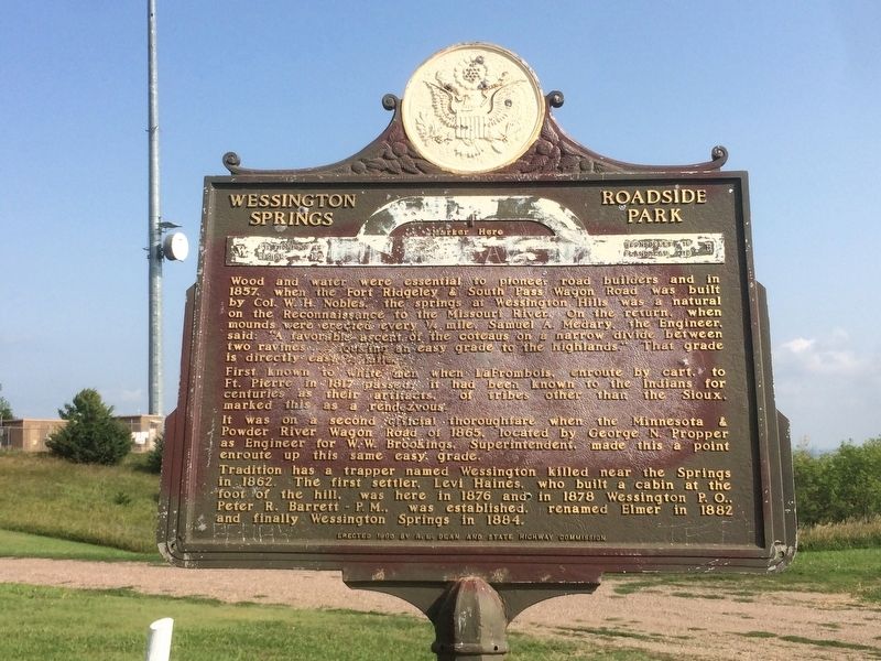
Wessington Springs Roadside Park
First known to white men when LaFramboise, enroute by cart, to Ft. Pierre in 1817 passed; it had been known to Indians for centuries as their artifacts, of tribes other than the Sioux, marked this as a rendezvous.
It was on a second official thoroughfare when the Minnesota & Powder River Wagon Road of 1865, located by George N. Propper as Engineer for W.W. Brookings, Superintendent, made this a point enroute up this same easy grade.
Tradition has a trapper named Wessington killed near the Springs in 1862. The first settler, Levi Haines, who built a cabin at the foot of the hill, was here in 1876 and in 1878 Wessington P.O. Peter R. Barrett - P.M., was established, renamed Elmer in 1882 and finally Wessington Springs in 1884.
Erected 1960 by R.E. Dean and State Highway Commission. (Marker Number 278.)
Topics and series. This historical marker is listed in these topic lists: Roads & Vehicles • Settlements & Settlers. In addition, it is included in the South Dakota State Historical Society Markers series list. A significant historical year for this entry is 1857.
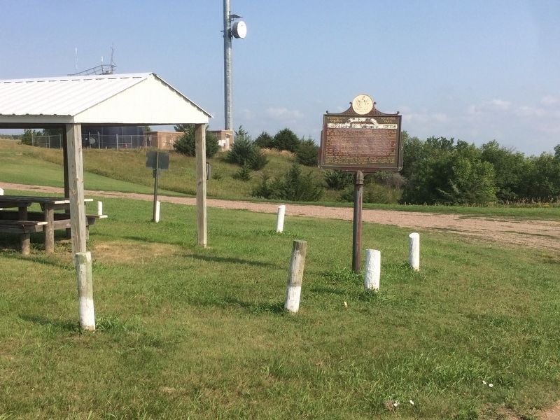
Location. 44° 4.502′ N, 98° 34.49′ W. Marker is in Wessington Springs, South Dakota, in Jerauld County. Marker can be reached from 228th Street (South Dakota Route 34) 0.3 miles west of Dakota Avenue South. Located in a wayside park. Touch for map. Marker is in this post office area: Wessington Springs SD 57382, United States of America. Touch for directions.
Other nearby markers. At least 8 other markers are within walking distance of this marker. Governor Vessey - Father of Mother's Day (a few steps from this marker); Robert S. Vessey (a few steps from this marker); Rube Goldberg Ski Lift Gadget (within shouting distance of this marker); Historic Nobles Trail (about 300 feet away, measured in a direct line); Wessington Springs Trivia (about 600 feet away); Noble's Trail Campsite (approx. 0.2 miles away); Neutral Ground (approx. 0.2 miles away); Municipal Field House (approx. 0.2 miles away). Touch for a list and map of all markers in Wessington Springs.
Credits. This page was last revised on September 4, 2021. It was originally submitted on January 19, 2018, by Ruth VanSteenwyk of Aberdeen, South Dakota. This page has been viewed 444 times since then and 18 times this year. Last updated on September 1, 2021. Photos: 1, 2. submitted on January 19, 2018, by Ruth VanSteenwyk of Aberdeen, South Dakota. • Mark Hilton was the editor who published this page.

